
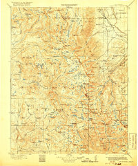
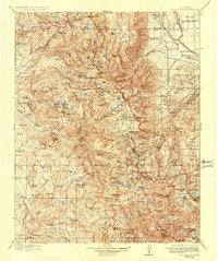
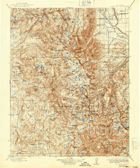
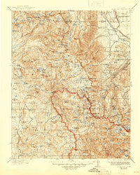
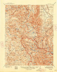
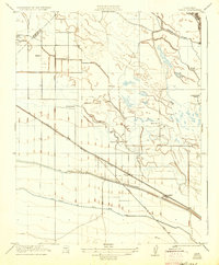
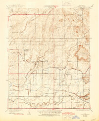
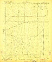
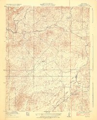
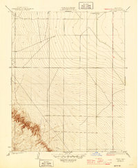
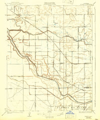
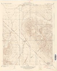
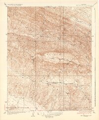
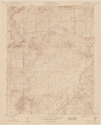
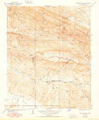
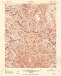
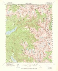
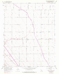
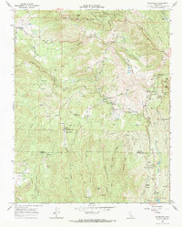
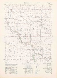
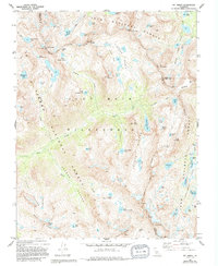
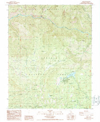
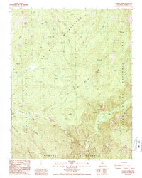
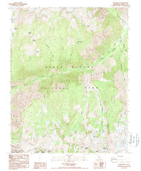
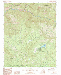
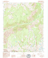
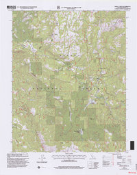
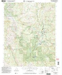
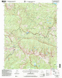
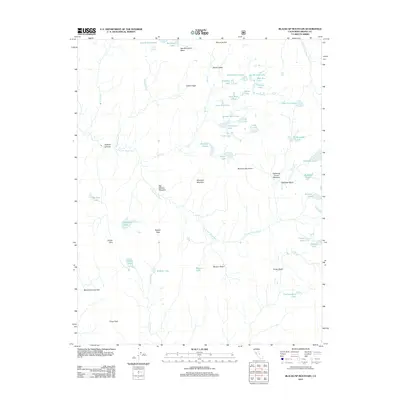
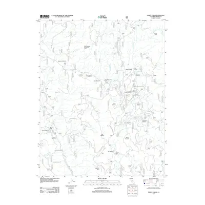
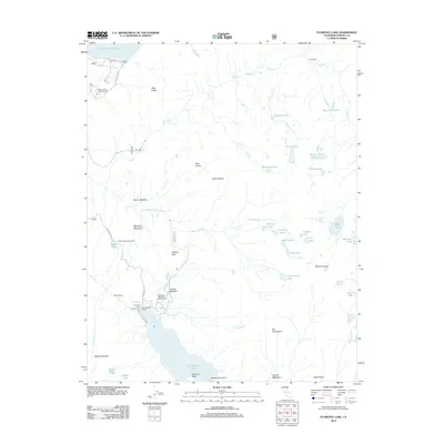
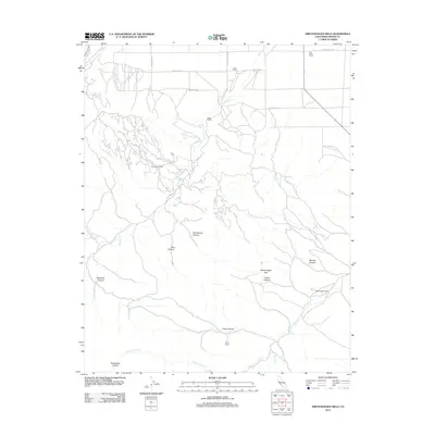
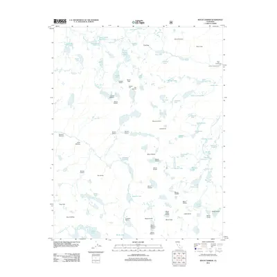
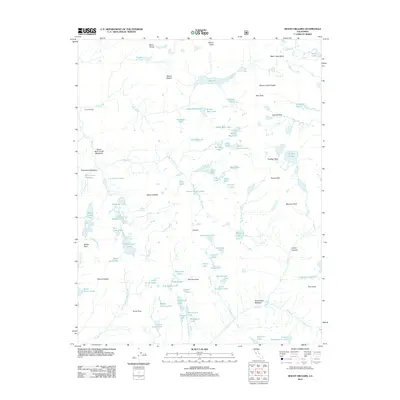
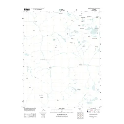
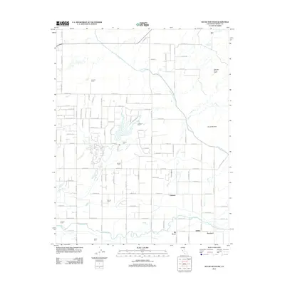
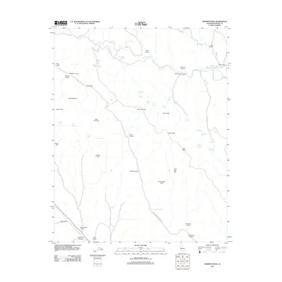
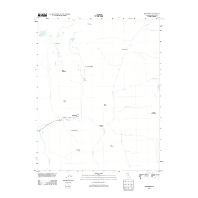
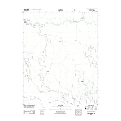
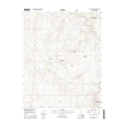
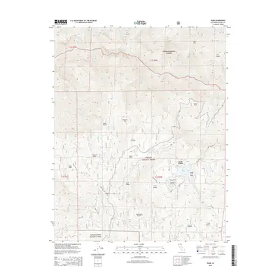
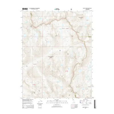
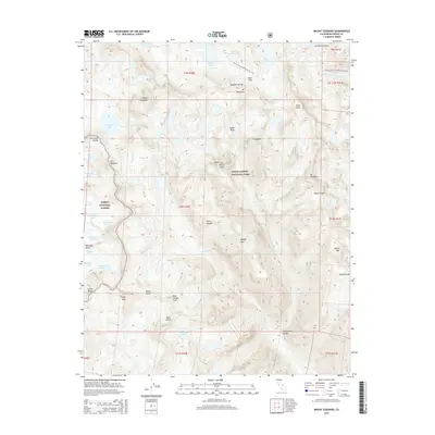
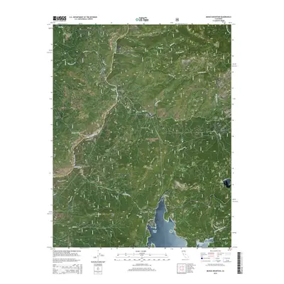
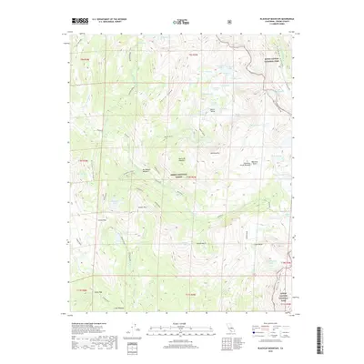
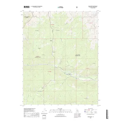
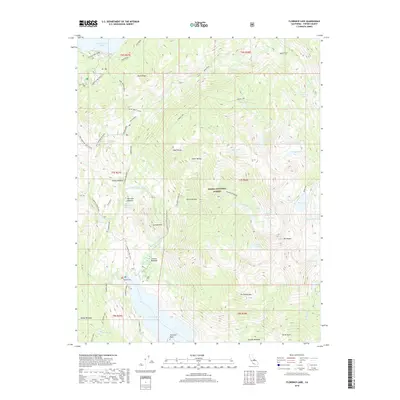
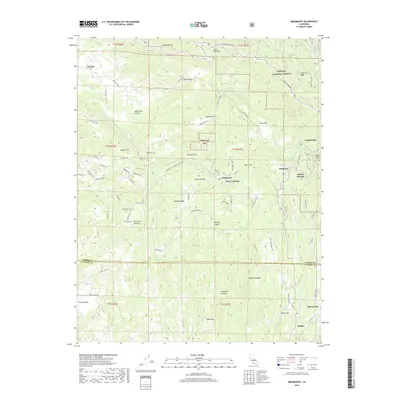
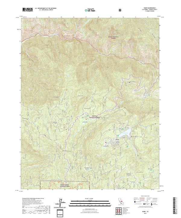
1912 Map of Mt. Goddard
USGS Topo · Published 1912About this map
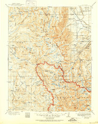
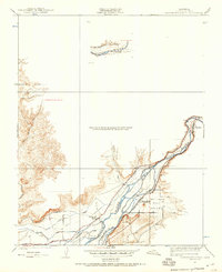
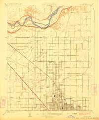
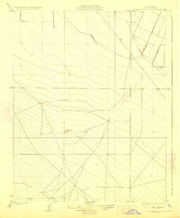
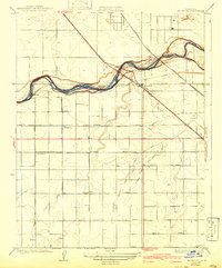
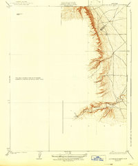
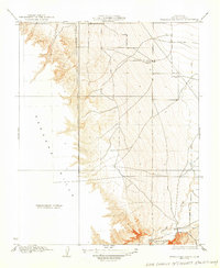
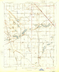
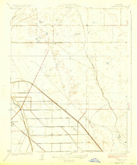
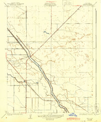
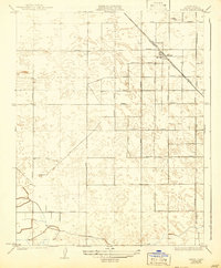
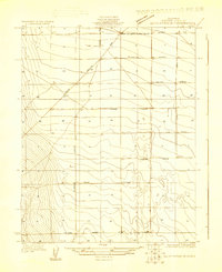
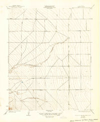
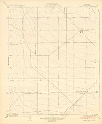
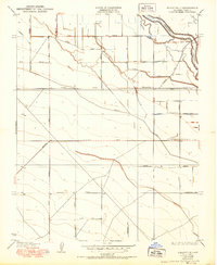
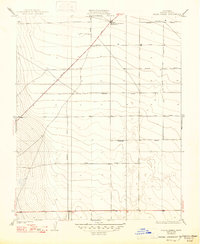
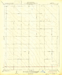
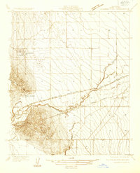
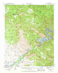
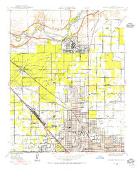
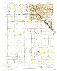
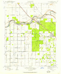
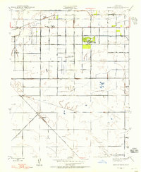
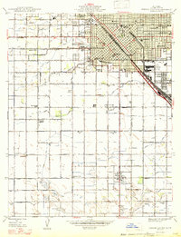
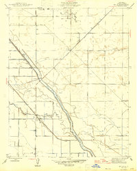
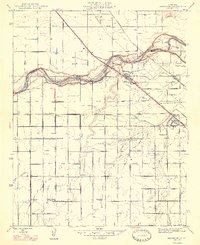
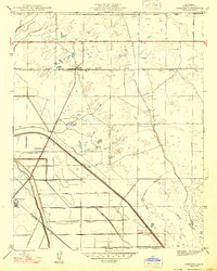
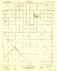
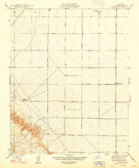
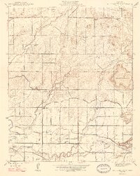
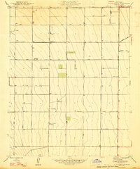
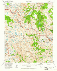
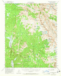
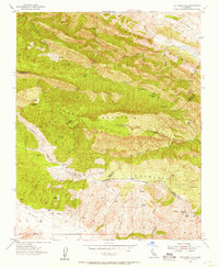
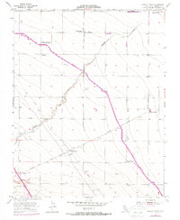
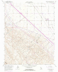
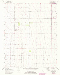
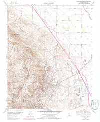
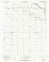
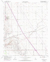
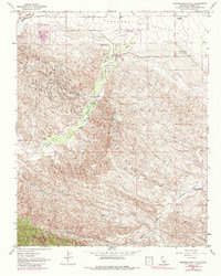
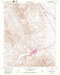
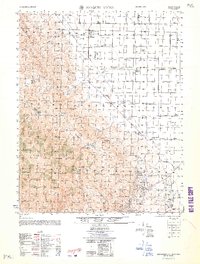
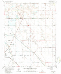
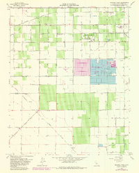
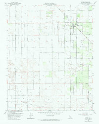
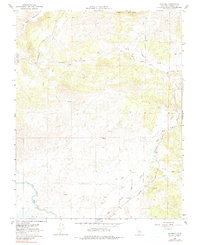
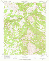
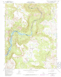
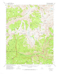
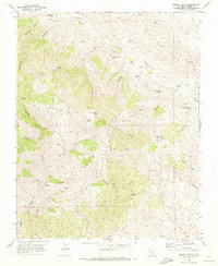
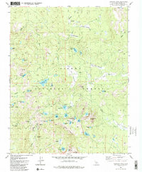
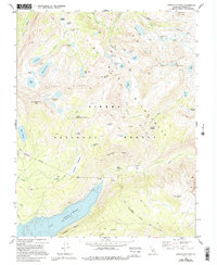
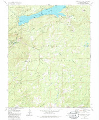
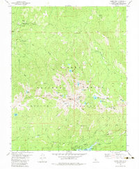
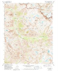
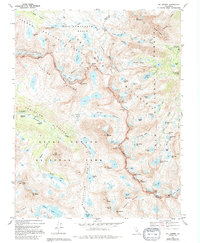
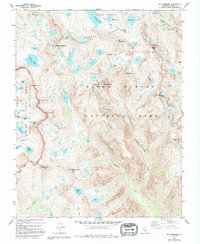
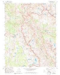
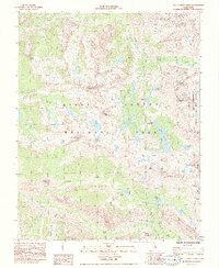
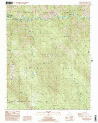
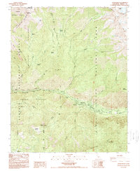
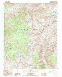
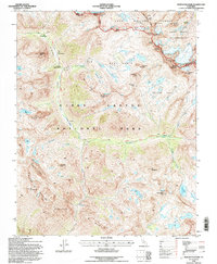
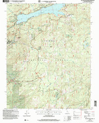
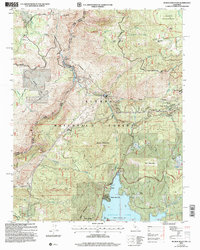
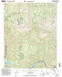
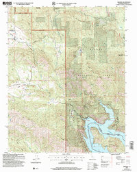
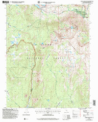
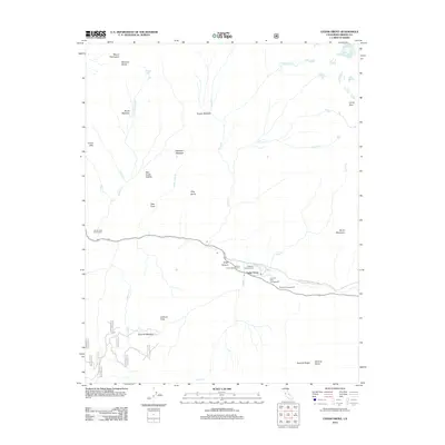
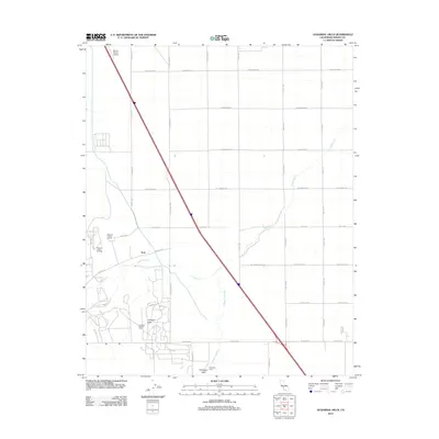
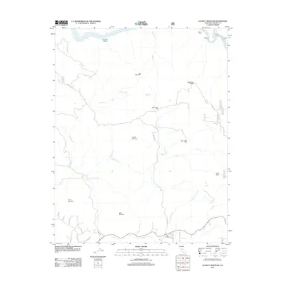
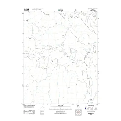
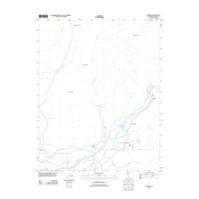
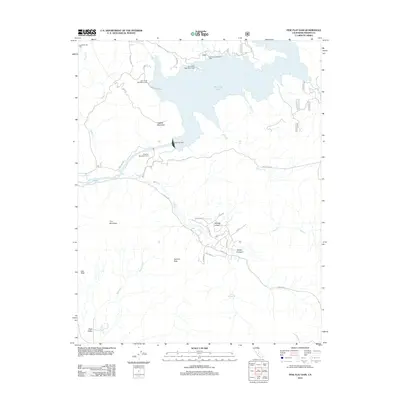
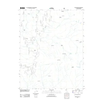
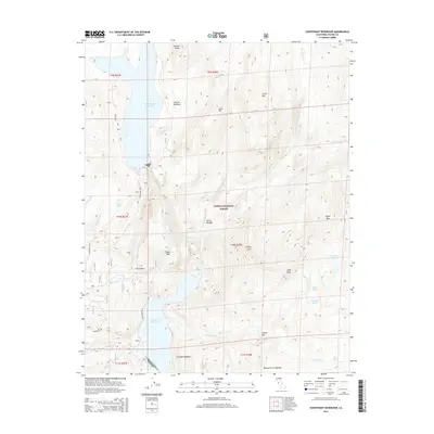
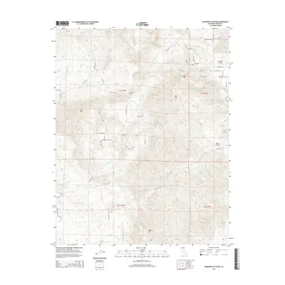
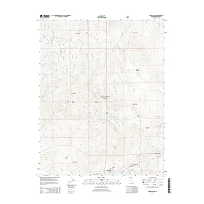
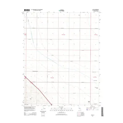
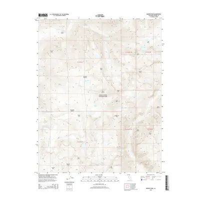
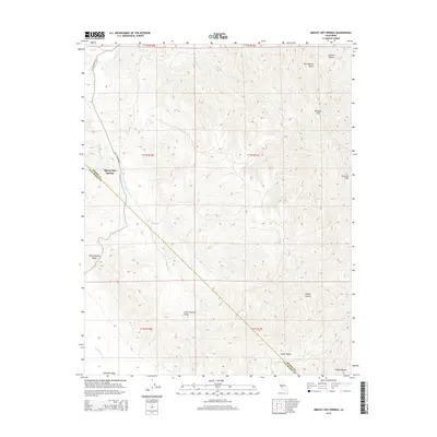
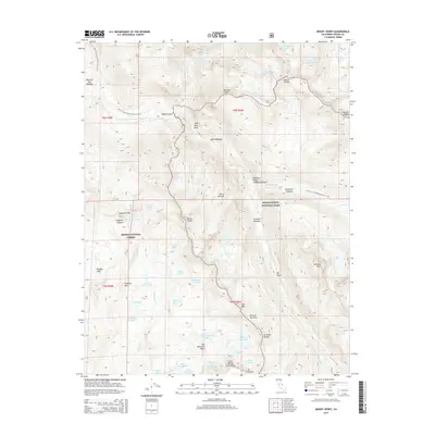
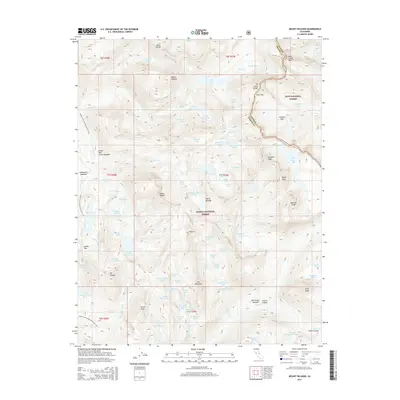
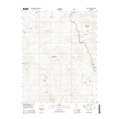
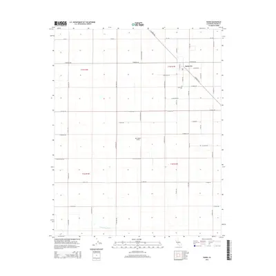
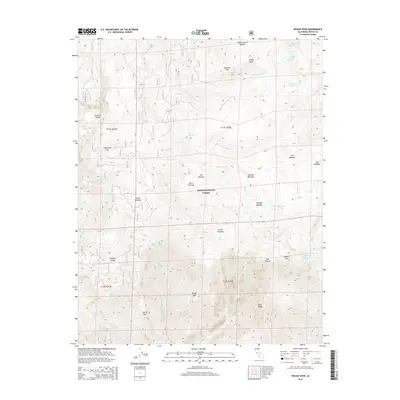
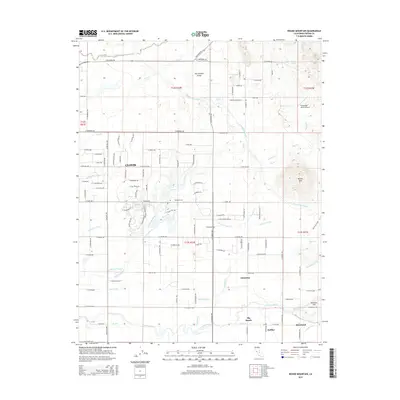
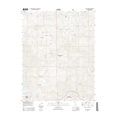
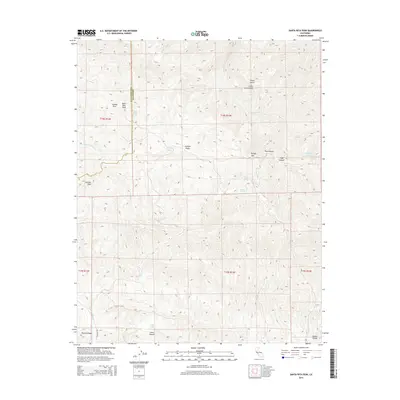
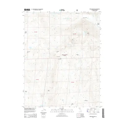
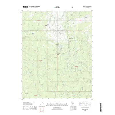
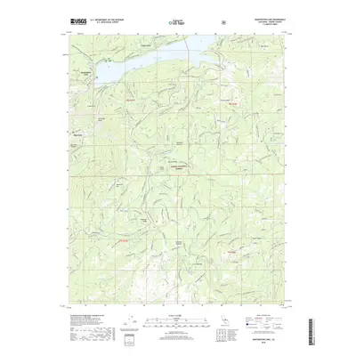
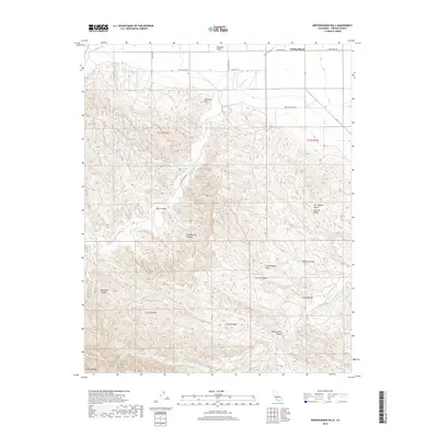
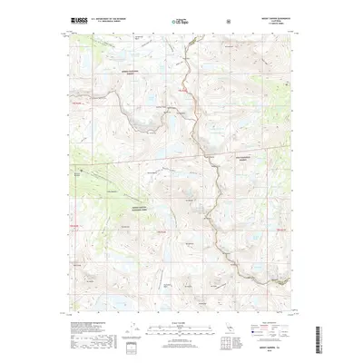
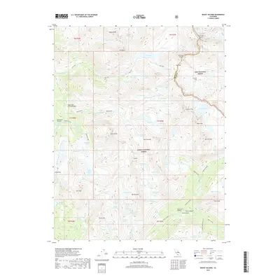
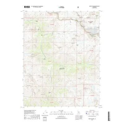
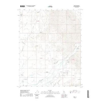
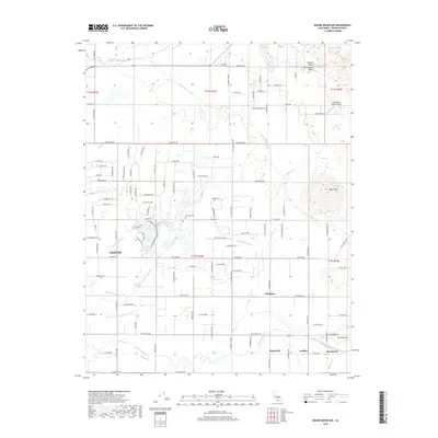
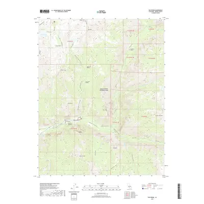
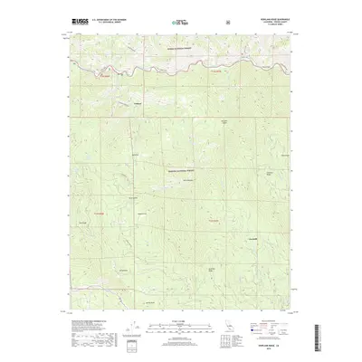
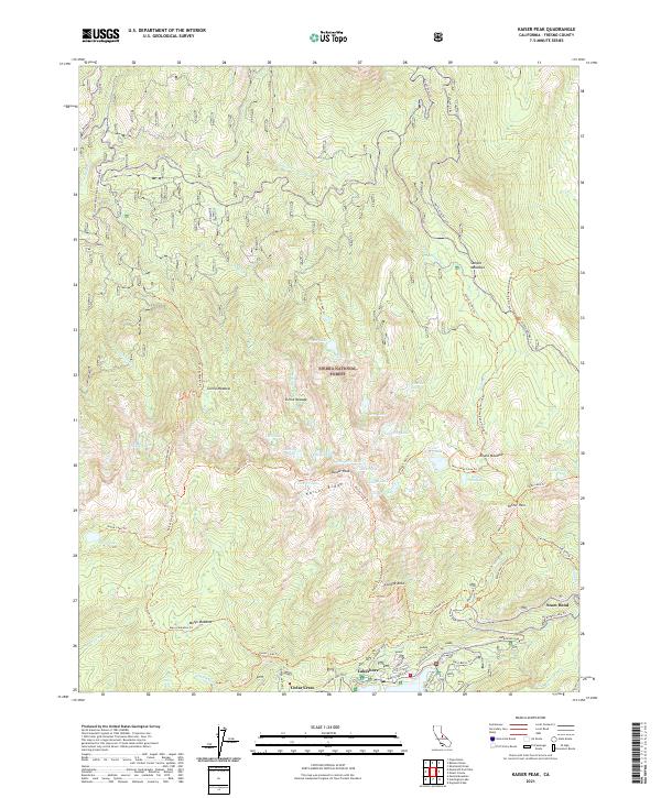
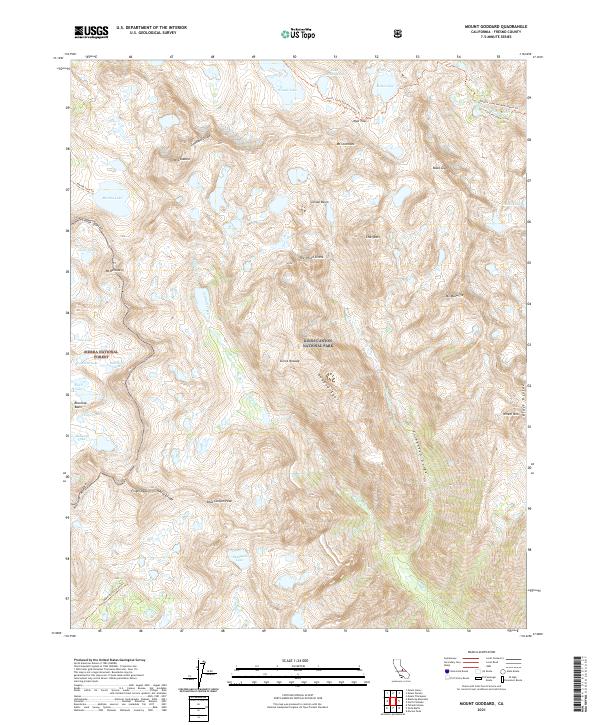
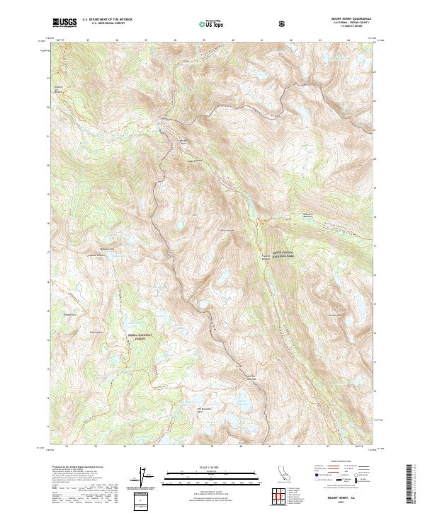
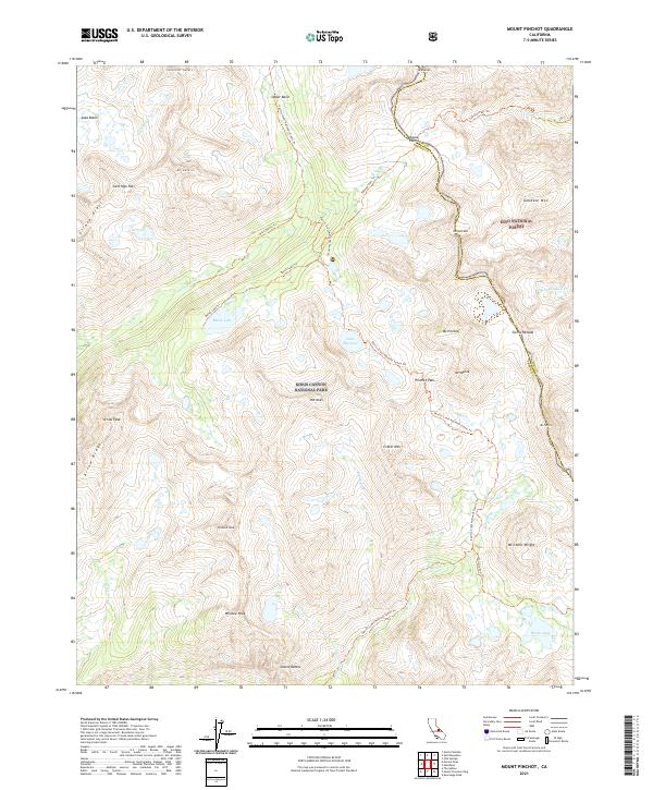
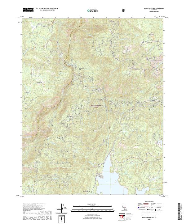
Sierra National Forest and Inyo National Forest meet at the high granite crests of the southern Sierra Nevada, where this survey captures the landscape before modern road access or extensive hydro-development. The eastern edge reveals early infrastructure near Round Valley, including an Old Brewery and a Power Station along the drainages of North Fork Bishop Creek. The interior is defined by a sequence of glacial recesses and high-altitude lakes such as the Lake of the Lone Indian and Lake Sabrina. The map details the seasonal economy of the high country, marking numerous camps and grazing lands like Andrews Camp, Dutch Johns Meadow, and Goats Meadow. These locations, along with established trails over Piute Pass and Bishop Pass, reflect the region's early 20th-century use for mountaineering and livestock movement across the county lines of Mono, Inyo, and Fresno.
Find a feature on this map
179 named features on this map. Tap any name to fly to it.
Don’t see what you’re looking for? This feature index may not catch every label — zoom into the map to look around manually.
Map Details
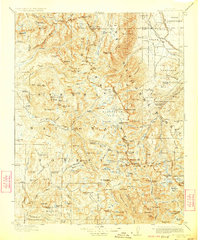
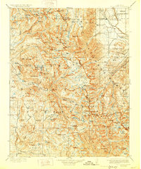
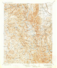
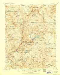
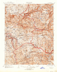
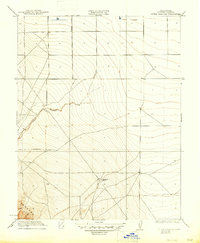
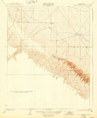
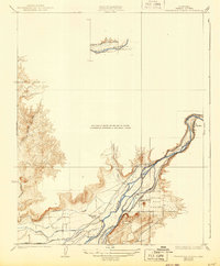
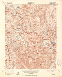
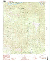
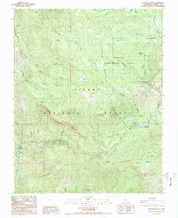
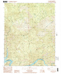
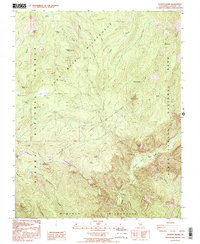
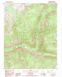
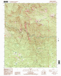
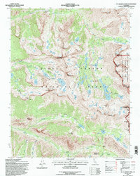
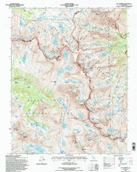
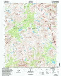
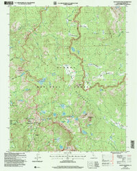
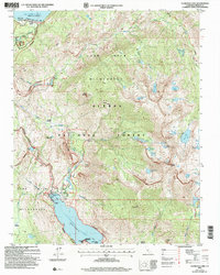
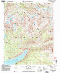
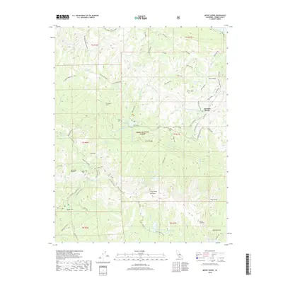
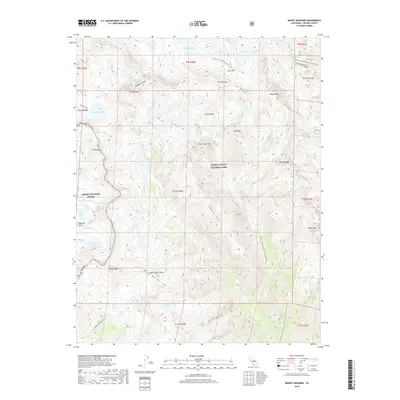
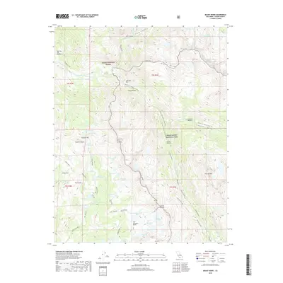
Editions of this 1912 Mt. Goddard Map
10 editions found
1912 edition
16.5 x 19.7 inches
1918 edition
16.5 x 19.8 inches
1923 edition
16.6 x 19.9 inches
1928 edition
16.6 x 19.9 inches
1933 edition
16.6 x 19.9 inches
1937 edition
16.5 x 19.8 inches
1940 edition
16.5 x 19.8 inches
1945 edition
16.5 x 20.7 inches
1948 edition
16.6 x 20.8 inches
1951 edition
16.6 x 20.8 inches
Historical Maps of West Bishop Through Time
529 maps found

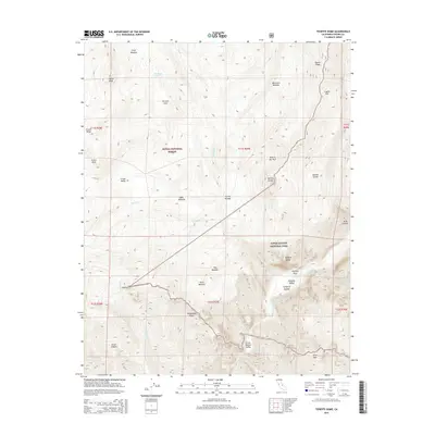
1903 Tehipite
Fresno County, CA
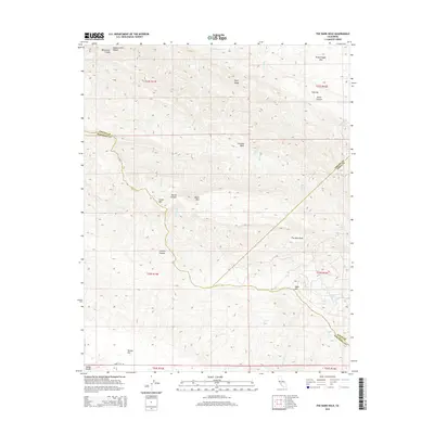
1904 Kaiser
Fresno County, CA
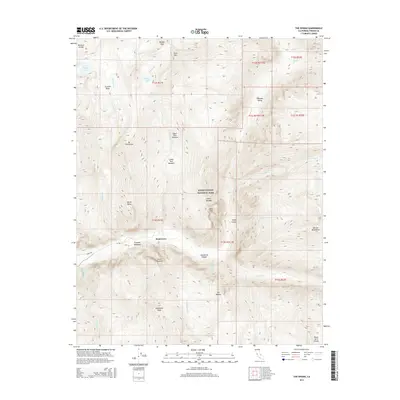
1905 Tehipite
Fresno County, CA
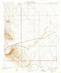
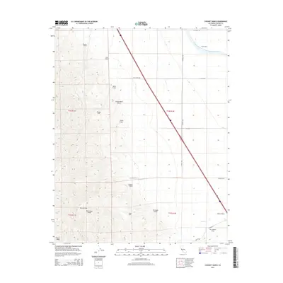
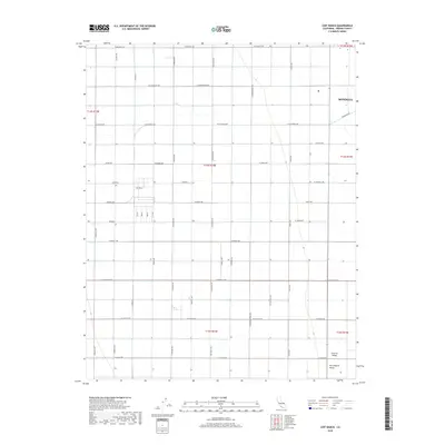
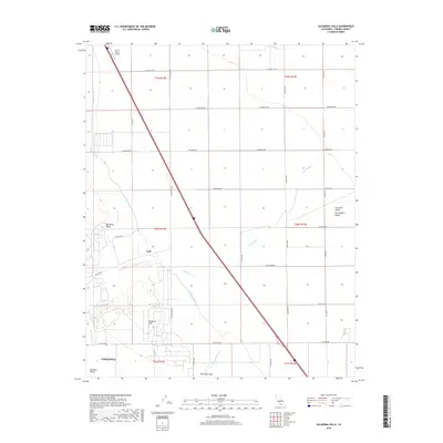
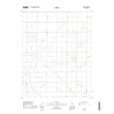
1912 Mt. Goddard
Fresno County, CA
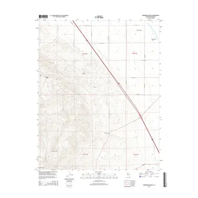
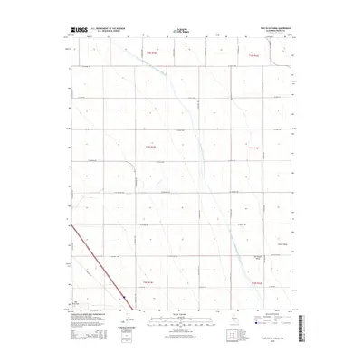
1913 Panoche
Fresno County, CA
1920 Orangedale School
Fresno County, CA

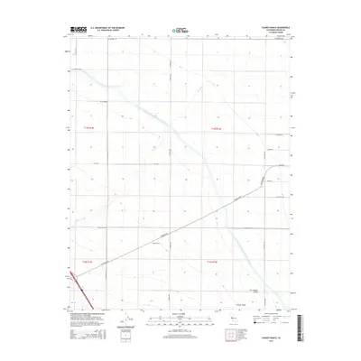
1921 Bullard
Fresno County, CA
1921 Laguna Seca Ranch
Fresno County, CA
1921 Tierra Loma School
Fresno County, CA
1922 Chaney Ranch
Fresno County, CA
1922 Oxalis
Fresno County, CA
1922 Round Mountain
Fresno County, CA

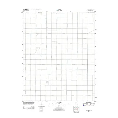
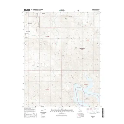
1922 Trimmer
Fresno County, CA
1922 Tufts Ranch
Fresno County, CA
1923 Academy
Fresno County, CA
1923 Bullard
Fresno County, CA
1923 Englebrecht Ranch
Fresno County, CA
1923 Herndon
Fresno County, CA

1923 Kearney Park
Fresno County, CA
1923 Laguna Seca Ranch
Fresno County, CA
1923 Levis
Fresno County, CA
1923 Little Panoche
Fresno County, CA
1923 Monocline Ridge
Fresno County, CA
1923 Orangedale School
Fresno County, CA
1923 Tierra Loma School
Fresno County, CA
1923 Wahtoke
Fresno County, CA
1923 Wisdom Well
Fresno County, CA
1924 Citrus Cove
Fresno County, CA
1924 Conejo
Fresno County, CA
1924 Jamesan
Fresno County, CA
1925 Helm
Fresno County, CA
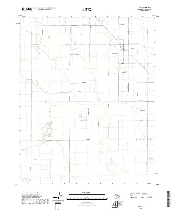
1925 Raisin
Fresno County, CA
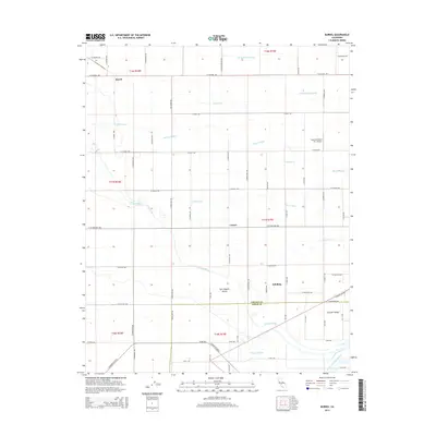
1927 Burrel
Fresno County, CA
1928 Delta Farms No 3
Fresno County, CA

1930 Canoas Creek
Fresno County, CA
1931 Mouth of Cantua Creek
Fresno County, CA
1931 Towne Oil Station
Fresno County, CA
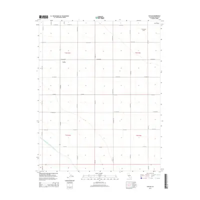
1931 Wheatville
Fresno County, CA
1932 Delta Farms
Fresno County, CA
1932 West of Lethent
Fresno County, CA
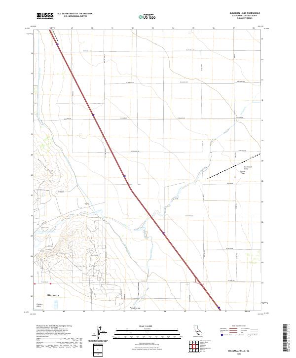
1933 Guijarral Hills
Fresno County, CA
1934 Canoas Creek
Fresno County, CA
1934 The Dark Hole
Fresno County, CA
1936 Guijarral Hills
Fresno County, CA
1936 Kreyenhagen Hills
Fresno County, CA
1937 Guijarral Hills
Fresno County, CA
1937 The Dark Hole
Fresno County, CA
1941 Kreyenhagen Hills
Fresno County, CA
1942 Polvadero Gap
Fresno County, CA
1942 Watts Valley
Fresno County, CA
1943 Joaquin Rocks
Fresno County, CA
1944 Watts Valley
Fresno County, CA
1946 Academy
Fresno County, CA
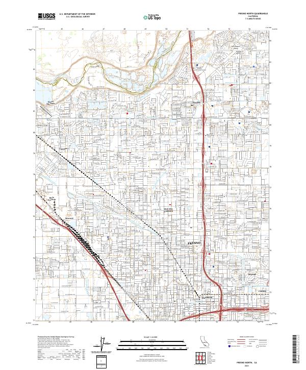
1946 Fresno North
Fresno County, CA
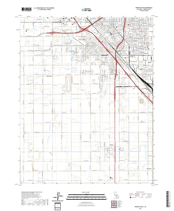
1946 Fresno South
Fresno County, CA
1946 Herndon
Fresno County, CA
1946 Kearney Park
Fresno County, CA
1947 Academy
Fresno County, CA
1947 Conejo
Fresno County, CA
1947 Englebrecht Ranch
Fresno County, CA
1947 Fresno North
Fresno County, CA
1947 Fresno South
Fresno County, CA
1947 Helm
Fresno County, CA
1947 Herndon
Fresno County, CA
1947 Jamesan
Fresno County, CA
1947 Kearney Park
Fresno County, CA
1947 Levis
Fresno County, CA

1947 Raisin
Fresno County, CA
1947 Round Mountain
Fresno County, CA
1947 Tufts Ranch
Fresno County, CA
1948 Mt. Goddard
Fresno County, CA
1950 Burrel
Fresno County, CA
1950 Canoas Creek
Fresno County, CA
1950 Orange Cove North
Fresno County, CA
1950 The Dark Hole
Fresno County, CA
1950 Towne Oil Station
Fresno County, CA
1950 Wahtoke
Fresno County, CA
1950 West of Lethent
Fresno County, CA
1951 Mt. Goddard
Fresno County, CA
1952 Mt. Goddard
Fresno County, CA
1952 Patterson Mountain
Fresno County, CA
1952 Tehipite Dome
Fresno County, CA
1953 Blackcap Mtn
Fresno County, CA
1953 Huntington Lake
Fresno County, CA
1953 Kaiser Peak
Fresno County, CA
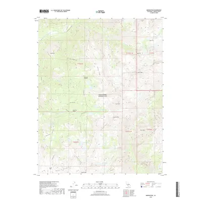
1953 Marion Peak
Fresno County, CA
1953 Mt. Abbot
Fresno County, CA
1953 The Dark Hole
Fresno County, CA
1954 Burrel
Fresno County, CA
1955 Broadview Farms
Fresno County, CA
1955 Chaney Ranch
Fresno County, CA
1955 Monocline Ridge
Fresno County, CA
1956 Calflax
Fresno County, CA
1956 Chounet Ranch
Fresno County, CA
1956 Coit Ranch
Fresno County, CA
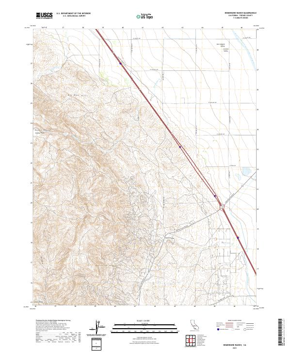
1956 Domengine Ranch
Fresno County, CA
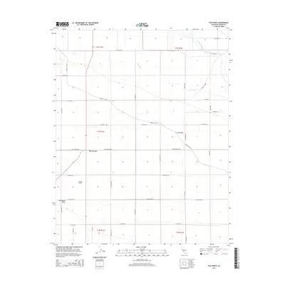
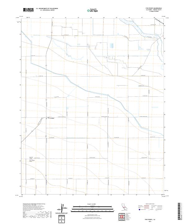
1956 Five Points
Fresno County, CA
1956 Guijarral Hills
Fresno County, CA
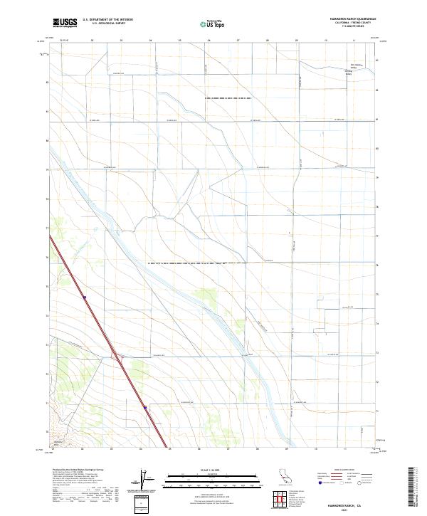
1956 Hammonds Ranch
Fresno County, CA
1956 Harris Ranch
Fresno County, CA
1956 Joaquin Rocks
Fresno County, CA
1956 Kreyenhagen Hills
Fresno County, CA
1956 Laguna Seca Ranch
Fresno County, CA
1956 Levis
Fresno County, CA
1956 Lillis Ranch
Fresno County, CA
1956 Oxalis
Fresno County, CA
1956 Tres Picos Farms
Fresno County, CA
1957 Mt. Goddard
Fresno County, CA
1961 The Dark Hole
Fresno County, CA
1962 Blackcap Mtn
Fresno County, CA
1962 Joaquin Rocks
Fresno County, CA
1963 Conejo
Fresno County, CA
1963 Fresno South
Fresno County, CA
1963 Helm
Fresno County, CA
1963 Jamesan
Fresno County, CA
1963 Kearney Park
Fresno County, CA
1963 Raisin
Fresno County, CA
1964 Academy
Fresno County, CA
1964 Herndon
Fresno County, CA
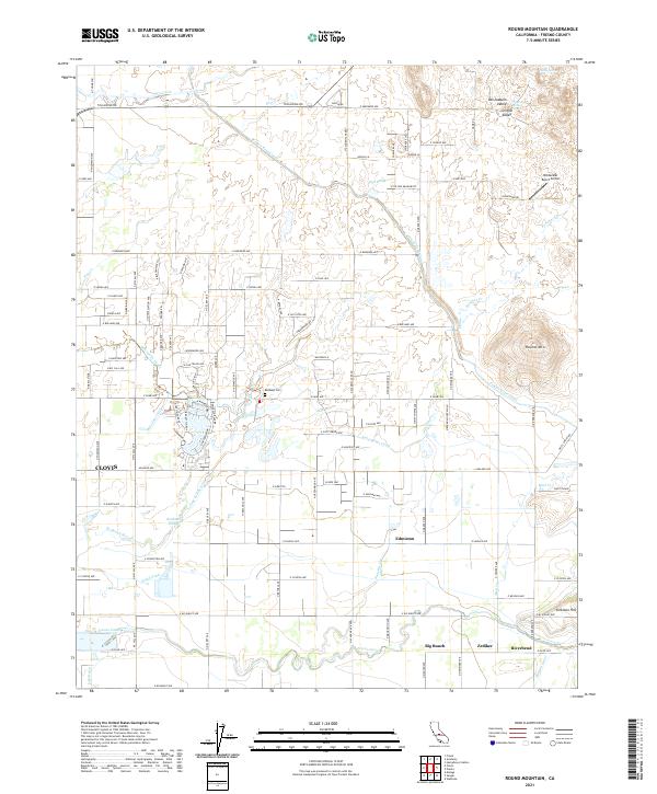
1964 Round Mountain
Fresno County, CA
1965 Fresno North
Fresno County, CA
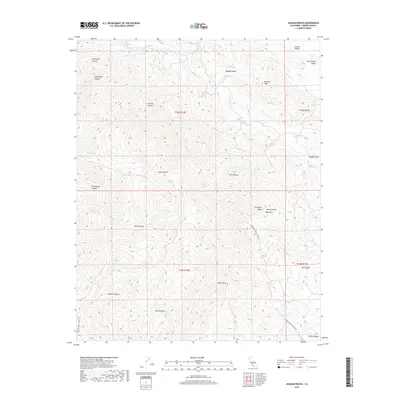
1965 Humphreys Station
Fresno County, CA
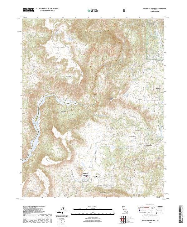
1965 Millerton Lake East
Fresno County, CA
1965 Piedra
Fresno County, CA
1965 Pine Flat Dam
Fresno County, CA
1965 Trimmer
Fresno County, CA
1966 Miramonte
Fresno County, CA
1966 Orange Cove North
Fresno County, CA
1966 Tucker Mtn
Fresno County, CA
1966 Wahtoke
Fresno County, CA
1967 Marion Peak
Fresno County, CA
1969 Alcalde Hills
Fresno County, CA
1969 Ciervo Mtn
Fresno County, CA
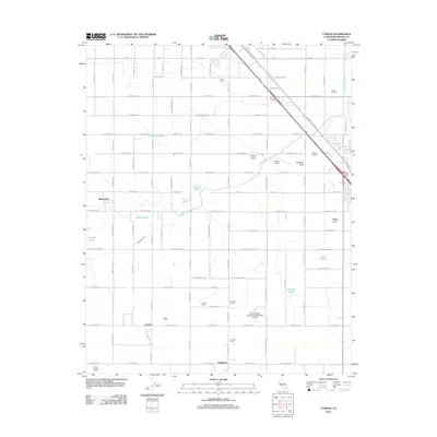
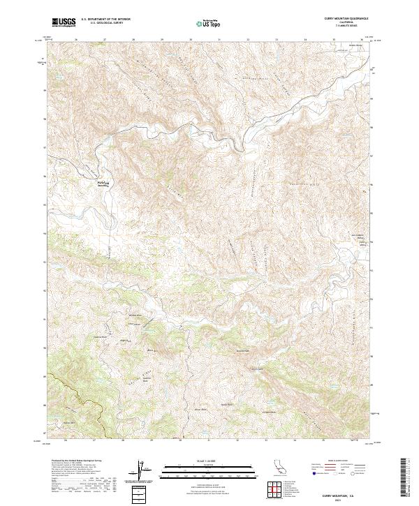
1969 Curry Mountain
Fresno County, CA
1969 Joaquin Rocks
Fresno County, CA
1969 Mercey Hot Springs
Fresno County, CA
1969 Santa Rita Peak
Fresno County, CA
1969 Sherman Peak
Fresno County, CA
1970 Burrel
Fresno County, CA
1982 Blackcap Mountain
Fresno County, CA
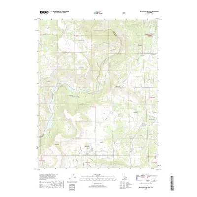
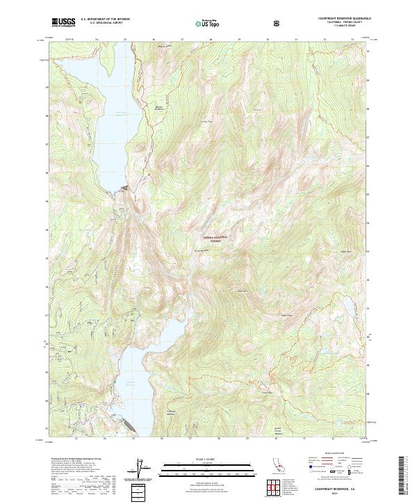
1982 Courtright Reservoir
Fresno County, CA
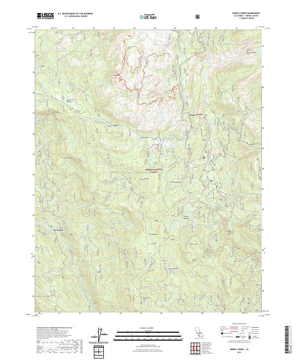
1982 Dinkey Creek
Fresno County, CA
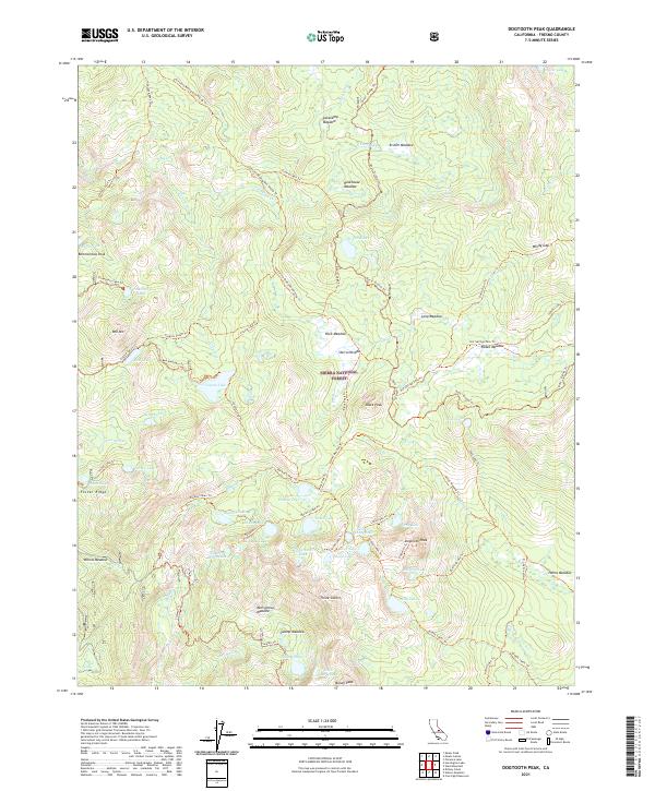
1982 Dogtooth Peak
Fresno County, CA
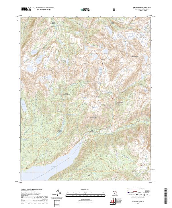
1982 Graveyard Peak
Fresno County, CA
1982 Huntington Lake
Fresno County, CA
1982 Kaiser Peak
Fresno County, CA
1982 Mt. Abbot
Fresno County, CA
1982 Mt. Givens
Fresno County, CA
1982 Mt. Hilgard
Fresno County, CA
1982 Musick Mtn
Fresno County, CA
1982 North Palisade
Fresno County, CA
1982 Sharktooth Peak
Fresno County, CA
1982 Ward Mountain
Fresno County, CA
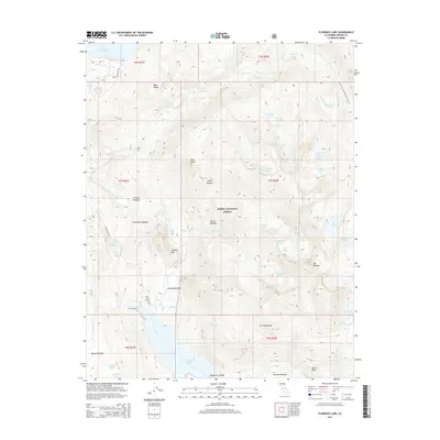
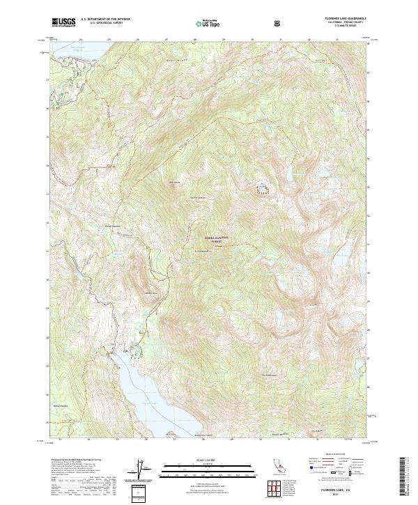
1983 Florence Lake
Fresno County, CA
1983 Mt. Darwin
Fresno County, CA
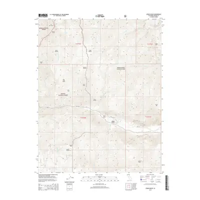
1983 Mt. Goddard
Fresno County, CA
1983 Mt. Henry
Fresno County, CA
1983 Nelson Mtn.
Fresno County, CA
1985 Mt. Clarence King
Fresno County, CA
1985 Mt. Pinchot
Fresno County, CA
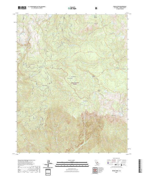
1986 Rough Spur
Fresno County, CA
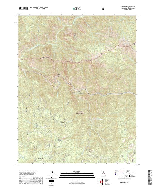
1986 Wren Peak
Fresno County, CA
1987 Hume
Fresno County, CA
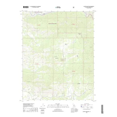
1987 Luckett Mountain
Fresno County, CA
1987 Patterson Mtn
Fresno County, CA
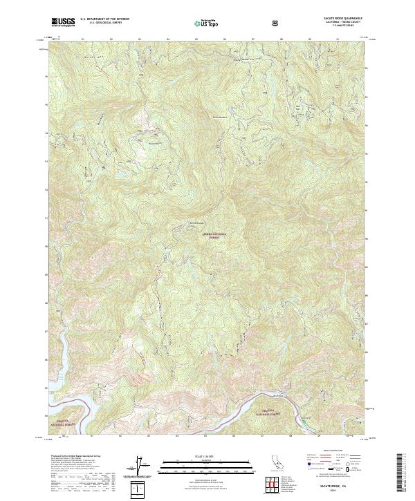
1987 Sacate Ridge
Fresno County, CA
1987 Tehipite Dome
Fresno County, CA
1987 Verplank Ridge
Fresno County, CA
1988 Cedar Grove
Fresno County, CA
1988 Marion Peak
Fresno County, CA
1988 Slide Bluffs
Fresno County, CA
1988 The Sphinx
Fresno County, CA
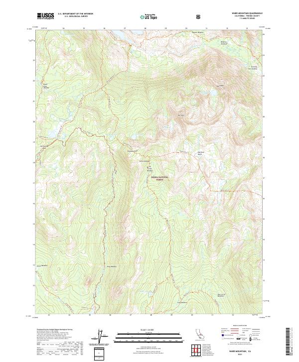
1990 Ward Mountain
Fresno County, CA
1992 Cedar Grove
Fresno County, CA
1992 Hume
Fresno County, CA
1992 Mt. Clarence King
Fresno County, CA
1992 Mt. Pinchot
Fresno County, CA
1992 Rough Spur
Fresno County, CA
1992 Slide Bluffs
Fresno County, CA
1992 Tehipite Dome
Fresno County, CA
1992 The Sphinx
Fresno County, CA
1992 Wren Peak
Fresno County, CA
1993 Dinkey Creek
Fresno County, CA
1994 Mt. Clarence King
Fresno County, CA
1994 Mt. Darwin
Fresno County, CA
1994 Mt. Pinchot
Fresno County, CA
1994 North Palisade
Fresno County, CA
2000 Mercey Hot Springs
Fresno County, CA
2004 Blackcap Mountain
Fresno County, CA
2004 Courtright Reservoir
Fresno County, CA
2004 Dinkey Creek
Fresno County, CA
2004 Dogtooth Peak
Fresno County, CA
2004 Florence Lake
Fresno County, CA
2004 Graveyard Peak
Fresno County, CA
2004 Huntington Lake
Fresno County, CA
2004 Kaiser Peak
Fresno County, CA
2004 Millerton Lake East
Fresno County, CA
2004 Mount Abbot
Fresno County, CA
2004 Mount Givens
Fresno County, CA
2004 Mount Goddard
Fresno County, CA
2004 Mount Henry
Fresno County, CA
2004 Mount Hilgard
Fresno County, CA
2004 Musick Mountain
Fresno County, CA
2004 Nelson Mountain
Fresno County, CA
2004 Patterson Mountain
Fresno County, CA
2004 Rough Spur
Fresno County, CA
2004 Sacate Ridge
Fresno County, CA
2004 Sharktooth Peak
Fresno County, CA
2004 Slide Bluffs
Fresno County, CA
2004 Tehipite Dome
Fresno County, CA
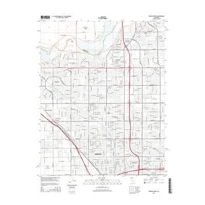
2004 Trimmer
Fresno County, CA
2004 Ward Mountain
Fresno County, CA
2012 Academy
Fresno County, CA
2012 Alcalde Hills
Fresno County, CA
2012 Blackcap Mountain
Fresno County, CA
2012 Broadview Farms
Fresno County, CA
2012 Burrel
Fresno County, CA
2012 Calflax
Fresno County, CA
2012 Cedar Grove
Fresno County, CA
2012 Chaney Ranch
Fresno County, CA
2012 Chounet Ranch
Fresno County, CA
2012 Ciervo Mountain
Fresno County, CA
2012 Coit Ranch
Fresno County, CA
2012 Conejo
Fresno County, CA
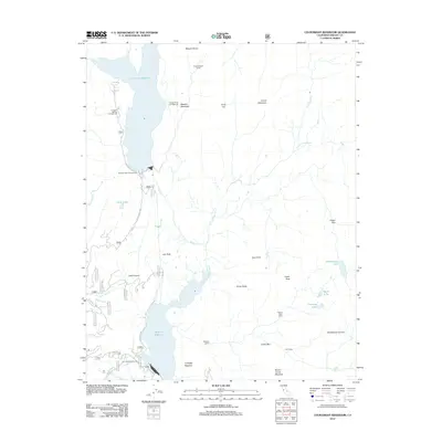
2012 Courtright Reservoir
Fresno County, CA
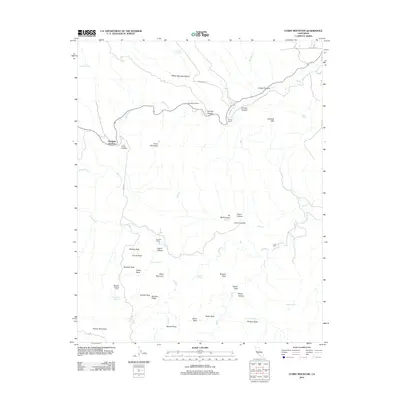
2012 Curry Mountain
Fresno County, CA
2012 Dinkey Creek
Fresno County, CA
2012 Dogtooth Peak
Fresno County, CA
2012 Domengine Ranch
Fresno County, CA
2012 Five Points
Fresno County, CA
2012 Florence Lake
Fresno County, CA
2012 Fresno North
Fresno County, CA
2012 Fresno South
Fresno County, CA
2012 Graveyard Peak
Fresno County, CA
2012 Guijarral Hills
Fresno County, CA
2012 Hammonds Ranch
Fresno County, CA
2012 Harris Ranch
Fresno County, CA
2012 Helm
Fresno County, CA
2012 Herndon
Fresno County, CA
2012 Hume
Fresno County, CA
2012 Humphreys Station
Fresno County, CA
2012 Huntington Lake
Fresno County, CA
2012 Jamesan
Fresno County, CA
2012 Joaquin Rocks
Fresno County, CA
2012 Kaiser Peak
Fresno County, CA
2012 Kearney Park
Fresno County, CA
2012 Kreyenhagen Hills
Fresno County, CA
2012 Laguna Seca Ranch
Fresno County, CA
2012 Levis
Fresno County, CA
2012 Lillis Ranch
Fresno County, CA
2012 Luckett Mountain
Fresno County, CA
2012 Marion Peak
Fresno County, CA
2012 Mercey Hot Springs
Fresno County, CA
2012 Millerton Lake East
Fresno County, CA
2012 Miramonte
Fresno County, CA
2012 Monocline Ridge
Fresno County, CA
2012 Mount Abbot
Fresno County, CA
2012 Mount Clarence King
Fresno County, CA
2012 Mount Darwin
Fresno County, CA
2012 Mount Givens
Fresno County, CA
2012 Mount Goddard
Fresno County, CA
2012 Mount Henry
Fresno County, CA
2012 Mount Hilgard
Fresno County, CA
2012 Mount Pinchot
Fresno County, CA
2012 Musick Mountain
Fresno County, CA
2012 Nelson Mountain
Fresno County, CA
2012 North Palisade
Fresno County, CA
2012 Orange Cove North
Fresno County, CA
2012 Oxalis
Fresno County, CA
2012 Patterson Mountain
Fresno County, CA
2012 Piedra
Fresno County, CA
2012 Pine Flat Dam
Fresno County, CA
2012 Raisin
Fresno County, CA
2012 Rough Spur
Fresno County, CA
2012 Round Mountain
Fresno County, CA
2012 Sacate Ridge
Fresno County, CA
2012 Santa Rita Peak
Fresno County, CA
2012 Sharktooth Peak
Fresno County, CA
2012 Sherman Peak
Fresno County, CA
2012 Slide Bluffs
Fresno County, CA
2012 Tehipite Dome
Fresno County, CA
2012 The Dark Hole
Fresno County, CA
2012 The Sphinx
Fresno County, CA
2012 Tres Picos Farms
Fresno County, CA
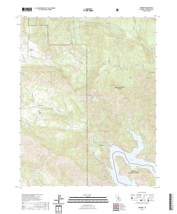
2012 Trimmer
Fresno County, CA
2012 Tucker Mountain
Fresno County, CA
2012 Verplank Ridge
Fresno County, CA
2012 Wahtoke
Fresno County, CA
2012 Ward Mountain
Fresno County, CA
2012 Wren Peak
Fresno County, CA
2015 Academy
Fresno County, CA
2015 Alcalde Hills
Fresno County, CA
2015 Blackcap Mountain
Fresno County, CA
2015 Broadview Farms
Fresno County, CA
2015 Burrel
Fresno County, CA
2015 Calflax
Fresno County, CA
2015 Cedar Grove
Fresno County, CA
2015 Chaney Ranch
Fresno County, CA
2015 Chounet Ranch
Fresno County, CA
2015 Ciervo Mountain
Fresno County, CA
2015 Coit Ranch
Fresno County, CA
2015 Conejo
Fresno County, CA
2015 Courtright Reservoir
Fresno County, CA
2015 Curry Mountain
Fresno County, CA
2015 Dinkey Creek
Fresno County, CA
2015 Dogtooth Peak
Fresno County, CA
2015 Domengine Ranch
Fresno County, CA
2015 Five Points
Fresno County, CA
2015 Florence Lake
Fresno County, CA
2015 Fresno North
Fresno County, CA
2015 Fresno South
Fresno County, CA
2015 Graveyard Peak
Fresno County, CA
2015 Guijarral Hills
Fresno County, CA
2015 Hammonds Ranch
Fresno County, CA
2015 Harris Ranch
Fresno County, CA
2015 Helm
Fresno County, CA
2015 Herndon
Fresno County, CA
2015 Hume
Fresno County, CA
2015 Humphreys Station
Fresno County, CA
2015 Huntington Lake
Fresno County, CA
2015 Jamesan
Fresno County, CA
2015 Joaquin Rocks
Fresno County, CA
2015 Kaiser Peak
Fresno County, CA
2015 Kearney Park
Fresno County, CA
2015 Kreyenhagen Hills
Fresno County, CA
2015 Laguna Seca Ranch
Fresno County, CA
2015 Levis
Fresno County, CA
2015 Lillis Ranch
Fresno County, CA
2015 Luckett Mountain
Fresno County, CA
2015 Marion Peak
Fresno County, CA
2015 Mercey Hot Springs
Fresno County, CA
2015 Millerton Lake East
Fresno County, CA
2015 Miramonte
Fresno County, CA
2015 Monocline Ridge
Fresno County, CA
2015 Mount Abbot
Fresno County, CA
2015 Mount Clarence King
Fresno County, CA
2015 Mount Darwin
Fresno County, CA
2015 Mount Givens
Fresno County, CA
2015 Mount Goddard
Fresno County, CA
2015 Mount Henry
Fresno County, CA
2015 Mount Hilgard
Fresno County, CA
2015 Mount Pinchot
Fresno County, CA
2015 Musick Mountain
Fresno County, CA
2015 Nelson Mountain
Fresno County, CA
2015 North Palisade
Fresno County, CA
2015 Orange Cove North
Fresno County, CA
2015 Oxalis
Fresno County, CA
2015 Patterson Mountain
Fresno County, CA
2015 Piedra
Fresno County, CA
2015 Pine Flat Dam
Fresno County, CA
2015 Raisin
Fresno County, CA
2015 Rough Spur
Fresno County, CA
2015 Round Mountain
Fresno County, CA
2015 Sacate Ridge
Fresno County, CA
2015 Santa Rita Peak
Fresno County, CA
2015 Sharktooth Peak
Fresno County, CA
2015 Sherman Peak
Fresno County, CA
2015 Slide Bluffs
Fresno County, CA
2015 Tehipite Dome
Fresno County, CA
2015 The Dark Hole
Fresno County, CA
2015 The Sphinx
Fresno County, CA
2015 Tres Picos Farms
Fresno County, CA
2015 Trimmer
Fresno County, CA
2015 Tucker Mountain
Fresno County, CA
2015 Verplank Ridge
Fresno County, CA
2015 Wahtoke
Fresno County, CA
2015 Ward Mountain
Fresno County, CA
2015 Wren Peak
Fresno County, CA
2018 Academy
Fresno County, CA
2018 Alcalde Hills
Fresno County, CA
2018 Blackcap Mountain
Fresno County, CA
2018 Broadview Farms
Fresno County, CA
2018 Burrel
Fresno County, CA
2018 Calflax
Fresno County, CA
2018 Cedar Grove
Fresno County, CA
2018 Chaney Ranch
Fresno County, CA
2018 Chounet Ranch
Fresno County, CA
2018 Ciervo Mountain
Fresno County, CA
2018 Coit Ranch
Fresno County, CA
2018 Conejo
Fresno County, CA
2018 Courtright Reservoir
Fresno County, CA
2018 Curry Mountain
Fresno County, CA
2018 Dinkey Creek
Fresno County, CA
2018 Dogtooth Peak
Fresno County, CA
2018 Domengine Ranch
Fresno County, CA
2018 Five Points
Fresno County, CA
2018 Florence Lake
Fresno County, CA
2018 Fresno North
Fresno County, CA
2018 Fresno South
Fresno County, CA
2018 Graveyard Peak
Fresno County, CA
2018 Guijarral Hills
Fresno County, CA
2018 Hammonds Ranch
Fresno County, CA
2018 Harris Ranch
Fresno County, CA
2018 Helm
Fresno County, CA
2018 Herndon
Fresno County, CA
2018 Hume
Fresno County, CA
2018 Humphreys Station
Fresno County, CA
2018 Huntington Lake
Fresno County, CA
2018 Jamesan
Fresno County, CA
2018 Joaquin Rocks
Fresno County, CA
2018 Kaiser Peak
Fresno County, CA
2018 Kearney Park
Fresno County, CA
2018 Kreyenhagen Hills
Fresno County, CA
2018 Laguna Seca Ranch
Fresno County, CA
2018 Levis
Fresno County, CA
2018 Lillis Ranch
Fresno County, CA
2018 Luckett Mountain
Fresno County, CA
2018 Marion Peak
Fresno County, CA
2018 Mercey Hot Springs
Fresno County, CA
2018 Millerton Lake East
Fresno County, CA
2018 Miramonte
Fresno County, CA
2018 Monocline Ridge
Fresno County, CA
2018 Mount Abbot
Fresno County, CA
2018 Mount Clarence King
Fresno County, CA
2018 Mount Darwin
Fresno County, CA
2018 Mount Givens
Fresno County, CA
2018 Mount Goddard
Fresno County, CA
2018 Mount Henry
Fresno County, CA
2018 Mount Hilgard
Fresno County, CA
2018 Mount Pinchot
Fresno County, CA
2018 Musick Mountain
Fresno County, CA
2018 Nelson Mountain
Fresno County, CA
2018 North Palisade
Fresno County, CA
2018 Orange Cove North
Fresno County, CA
2018 Oxalis
Fresno County, CA
2018 Patterson Mountain
Fresno County, CA
2018 Piedra
Fresno County, CA
2018 Pine Flat Dam
Fresno County, CA
2018 Raisin
Fresno County, CA
2018 Rough Spur
Fresno County, CA
2018 Round Mountain
Fresno County, CA
2018 Sacate Ridge
Fresno County, CA
2018 Santa Rita Peak
Fresno County, CA
2018 Sharktooth Peak
Fresno County, CA
2018 Sherman Peak
Fresno County, CA
2018 Slide Bluffs
Fresno County, CA
2018 Tehipite Dome
Fresno County, CA
2018 The Dark Hole
Fresno County, CA
2018 The Sphinx
Fresno County, CA
2018 Tres Picos Farms
Fresno County, CA
2018 Trimmer
Fresno County, CA
2018 Tucker Mountain
Fresno County, CA
2018 Verplank Ridge
Fresno County, CA
2018 Wahtoke
Fresno County, CA
2018 Ward Mountain
Fresno County, CA
2018 Wren Peak
Fresno County, CA
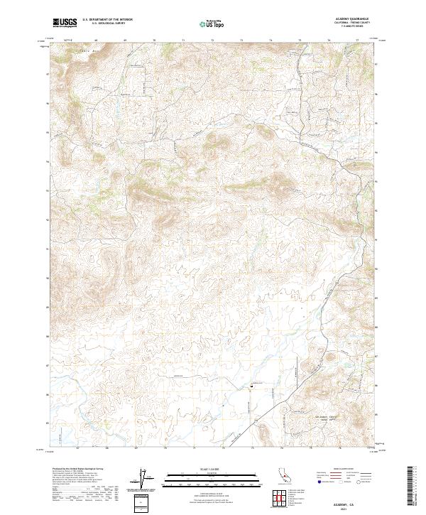
2021 Academy
Fresno County, CA
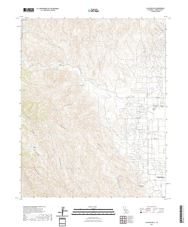
2021 Alcalde Hills
Fresno County, CA
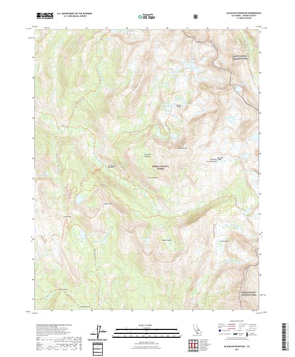
2021 Blackcap Mountain
Fresno County, CA
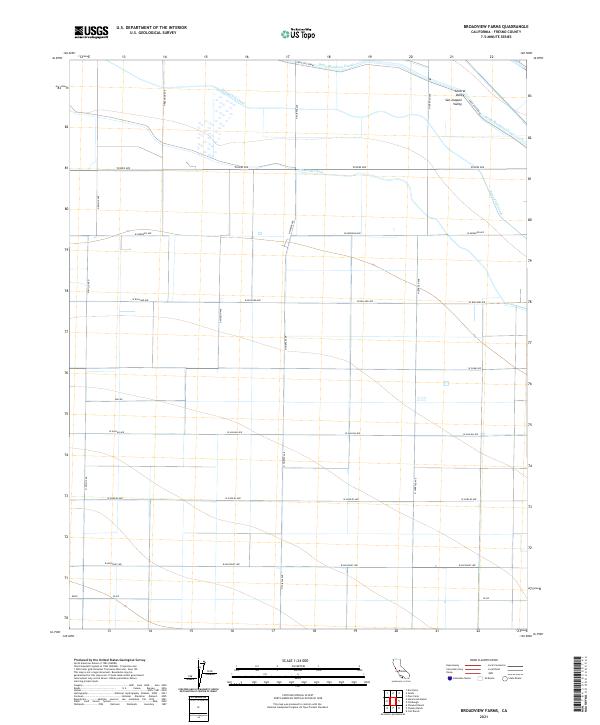
2021 Broadview Farms
Fresno County, CA
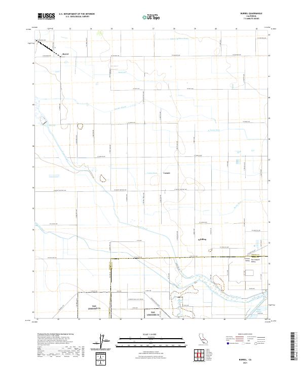
2021 Burrel
Fresno County, CA
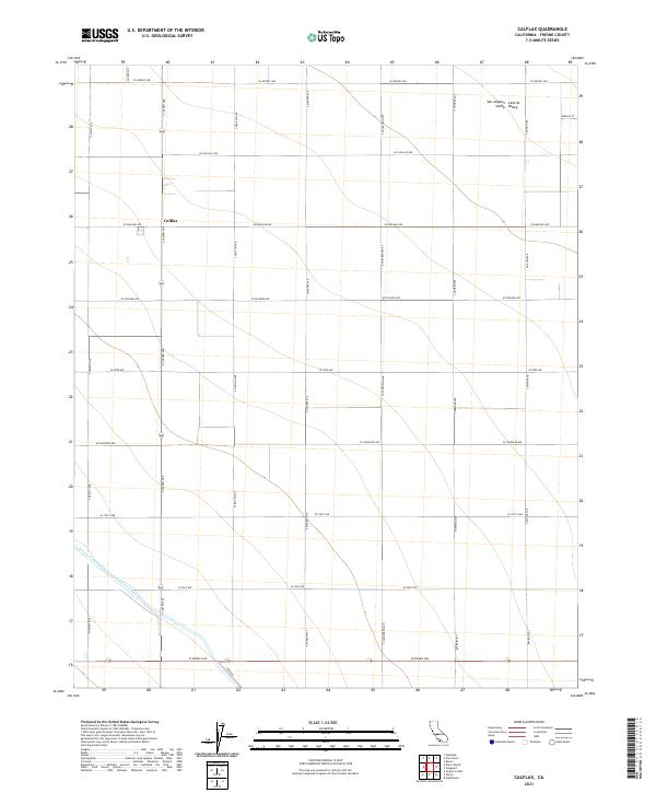
2021 Calflax
Fresno County, CA
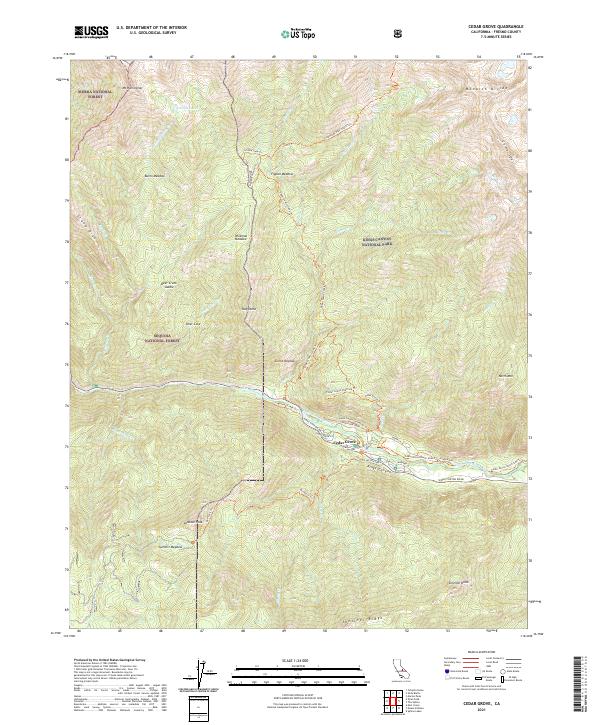
2021 Cedar Grove
Fresno County, CA
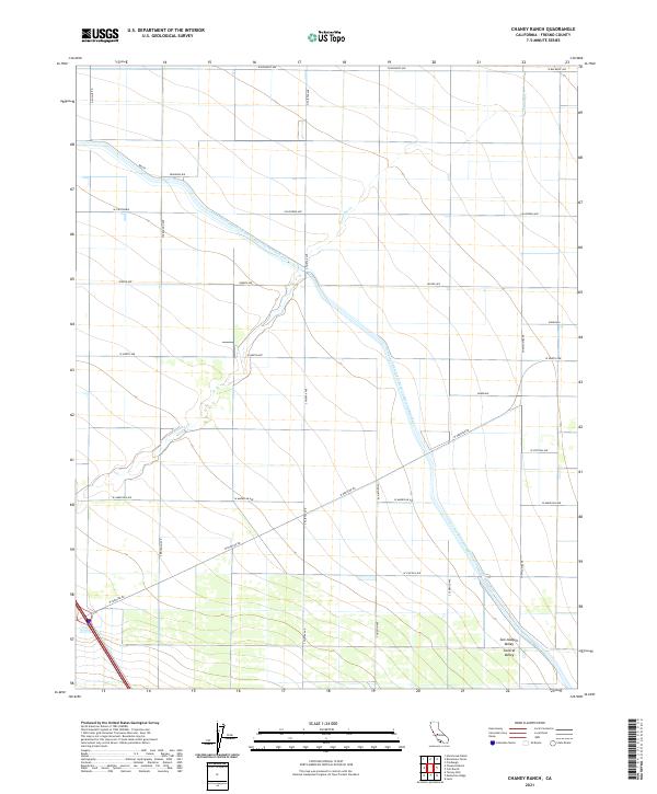
2021 Chaney Ranch
Fresno County, CA
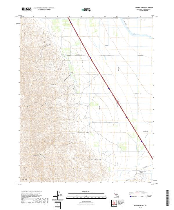
2021 Chounet Ranch
Fresno County, CA
2021 Ciervo Mountain
Fresno County, CA
2021 Coit Ranch
Fresno County, CA
2021 Conejo
Fresno County, CA
2021 Courtright Reservoir
Fresno County, CA
2021 Curry Mountain
Fresno County, CA
2021 Dinkey Creek
Fresno County, CA
2021 Dogtooth Peak
Fresno County, CA
2021 Domengine Ranch
Fresno County, CA
2021 Five Points
Fresno County, CA
2021 Florence Lake
Fresno County, CA
2021 Fresno North
Fresno County, CA
2021 Fresno South
Fresno County, CA
2021 Graveyard Peak
Fresno County, CA
2021 Guijarral Hills
Fresno County, CA
2021 Hammonds Ranch
Fresno County, CA
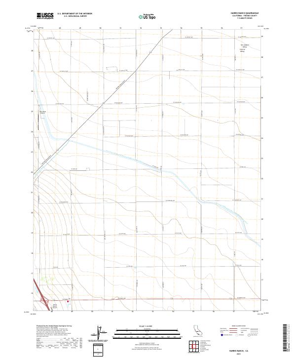
2021 Harris Ranch
Fresno County, CA
2021 Helm
Fresno County, CA
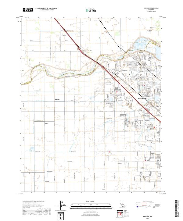
2021 Herndon
Fresno County, CA
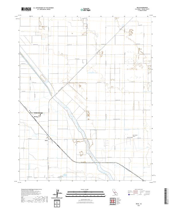
2021 Hume
Fresno County, CA
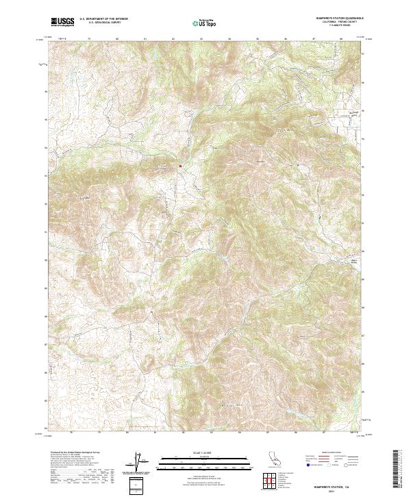
2021 Humphreys Station
Fresno County, CA
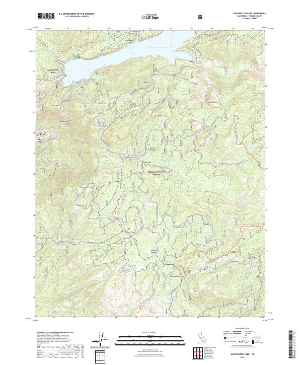
2021 Huntington Lake
Fresno County, CA
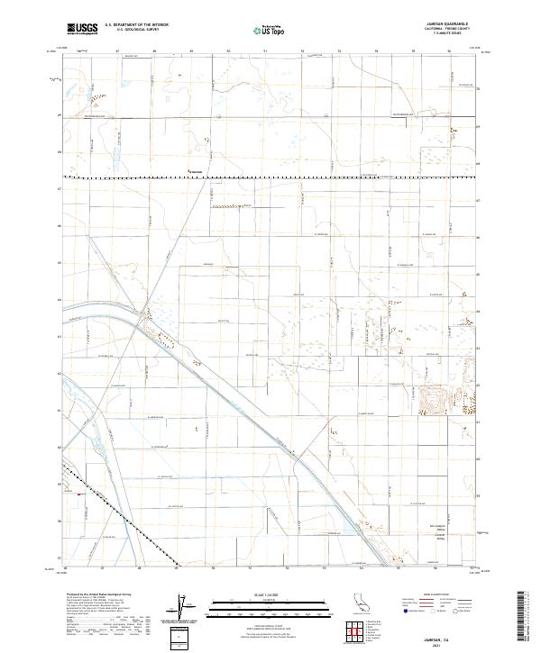
2021 Jamesan
Fresno County, CA
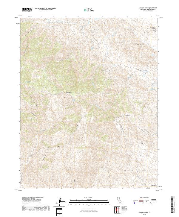
2021 Joaquin Rocks
Fresno County, CA
2021 Kaiser Peak
Fresno County, CA
2021 Kearney Park
Fresno County, CA
2021 Kreyenhagen Hills
Fresno County, CA
2021 Laguna Seca Ranch
Fresno County, CA
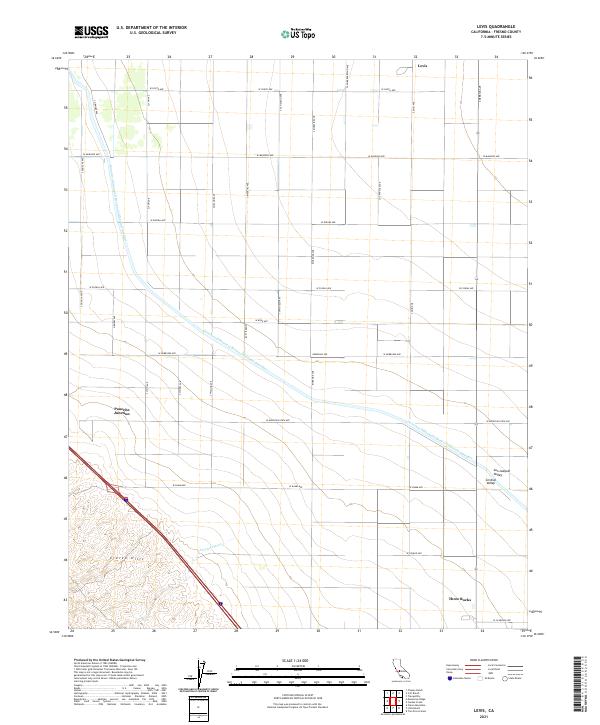
2021 Levis
Fresno County, CA
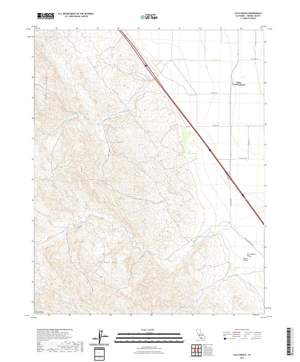
2021 Lillis Ranch
Fresno County, CA
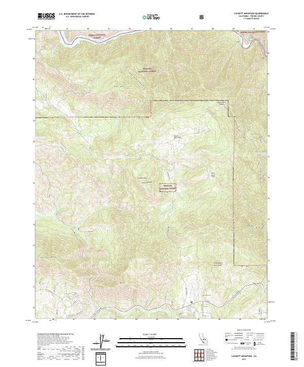
2021 Luckett Mountain
Fresno County, CA
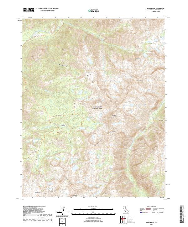
2021 Marion Peak
Fresno County, CA
2021 Mercey Hot Springs
Fresno County, CA
2021 Millerton Lake East
Fresno County, CA
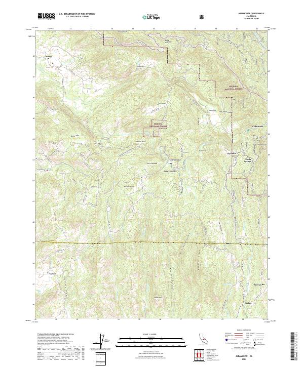
2021 Miramonte
Fresno County, CA
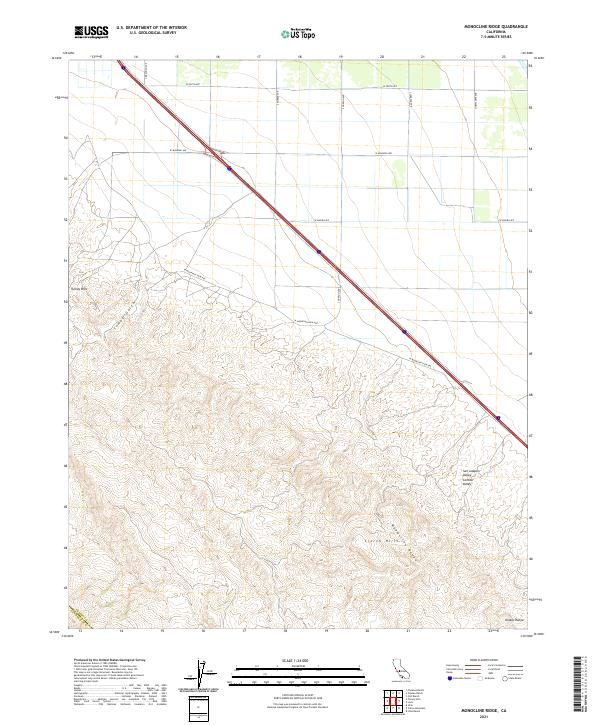
2021 Monocline Ridge
Fresno County, CA
2021 Mount Abbot
Fresno County, CA
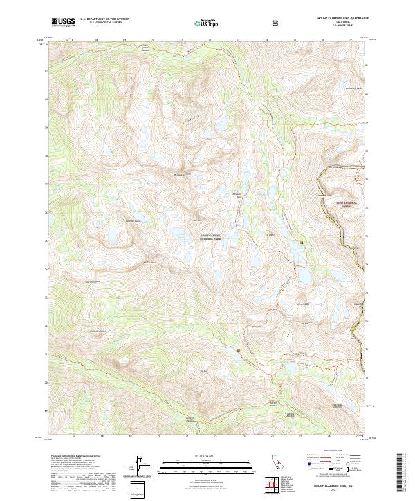
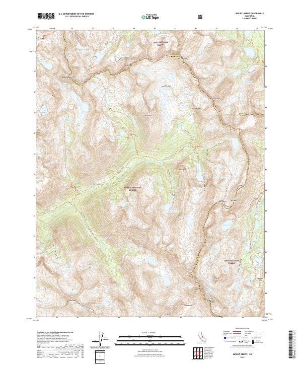
2021 Mount Clarence King
Fresno County, CA
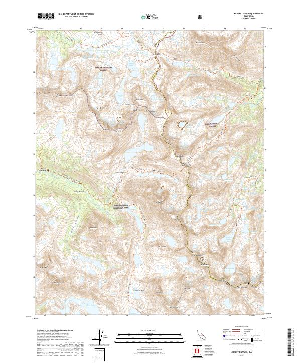
2021 Mount Darwin
Fresno County, CA
2021 Mount Givens
Fresno County, CA
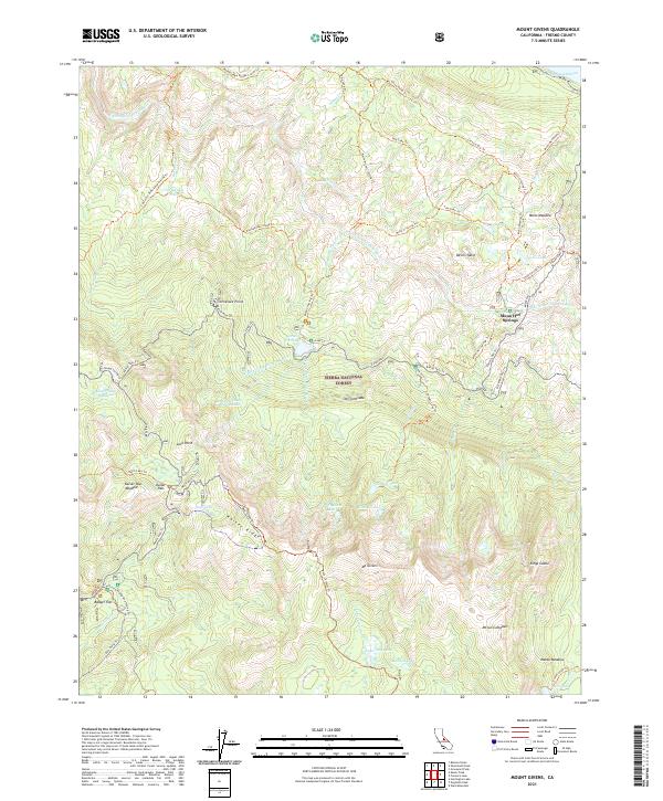
2021 Mount Goddard
Fresno County, CA
2021 Mount Henry
Fresno County, CA
2021 Mount Hilgard
Fresno County, CA
2021 Mount Pinchot
Fresno County, CA
2021 Musick Mountain
Fresno County, CA
2021 Nelson Mountain
Fresno County, CA
2021 North Palisade
Fresno County, CA
2021 Orange Cove North
Fresno County, CA
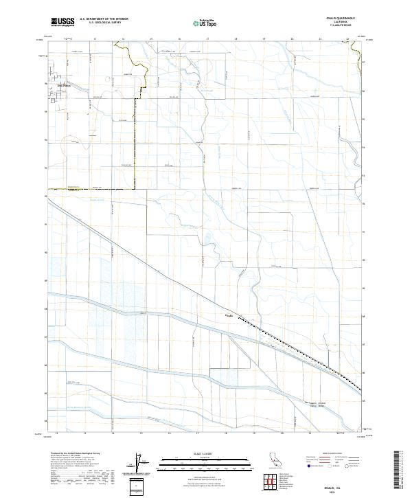
2021 Oxalis
Fresno County, CA
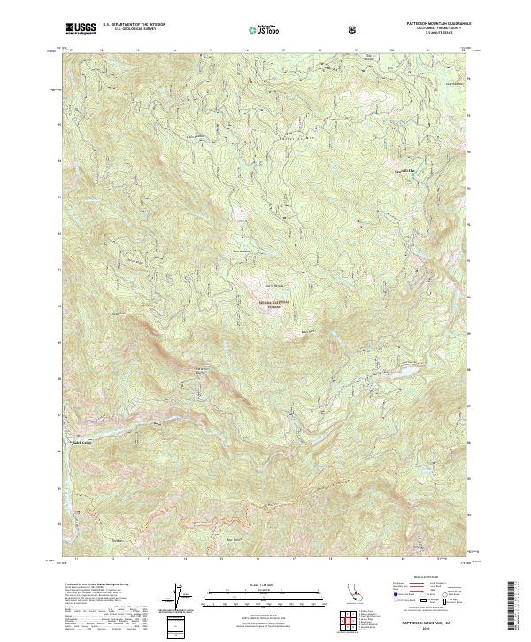
2021 Patterson Mountain
Fresno County, CA
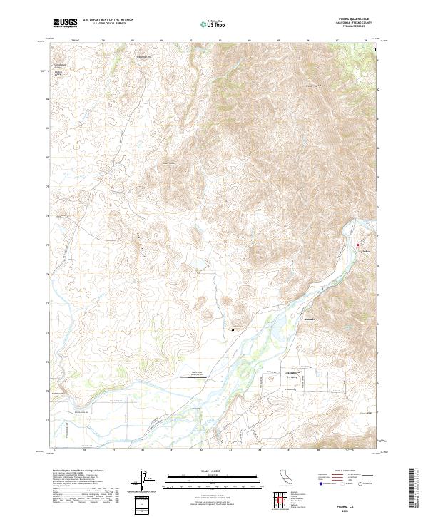
2021 Piedra
Fresno County, CA
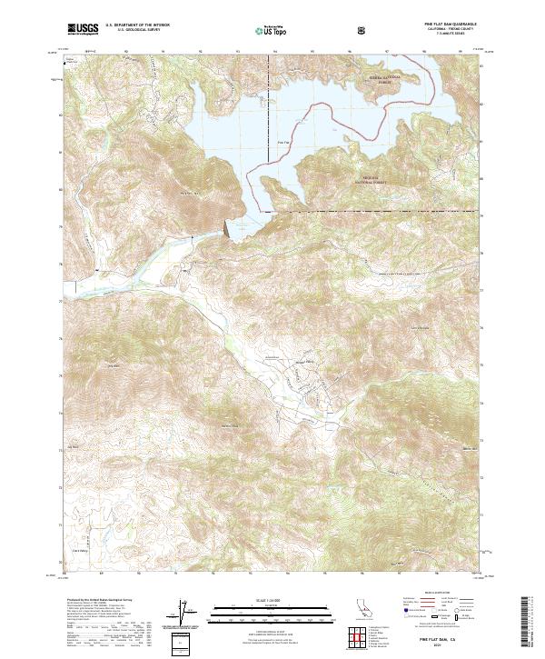
2021 Pine Flat Dam
Fresno County, CA
2021 Raisin
Fresno County, CA
2021 Rough Spur
Fresno County, CA
2021 Round Mountain
Fresno County, CA
2021 Sacate Ridge
Fresno County, CA
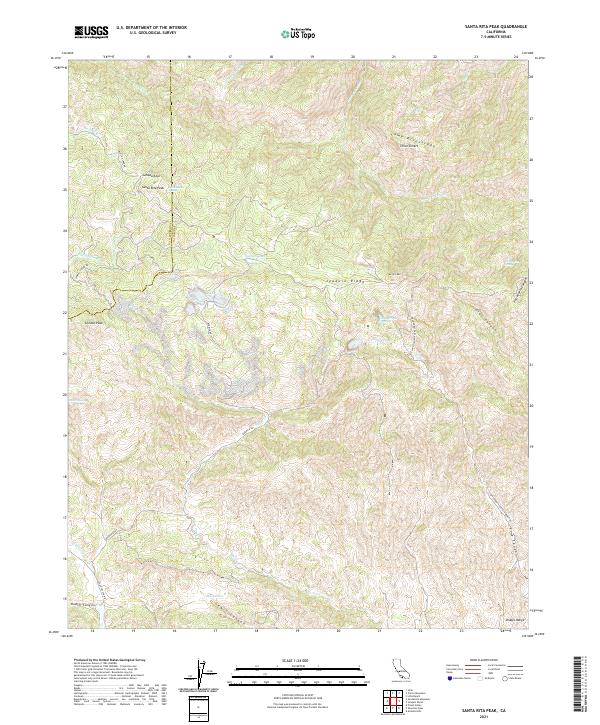
2021 Santa Rita Peak
Fresno County, CA
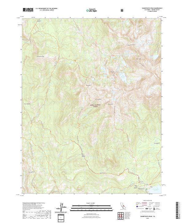
2021 Sharktooth Peak
Fresno County, CA
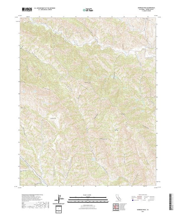
2021 Sherman Peak
Fresno County, CA
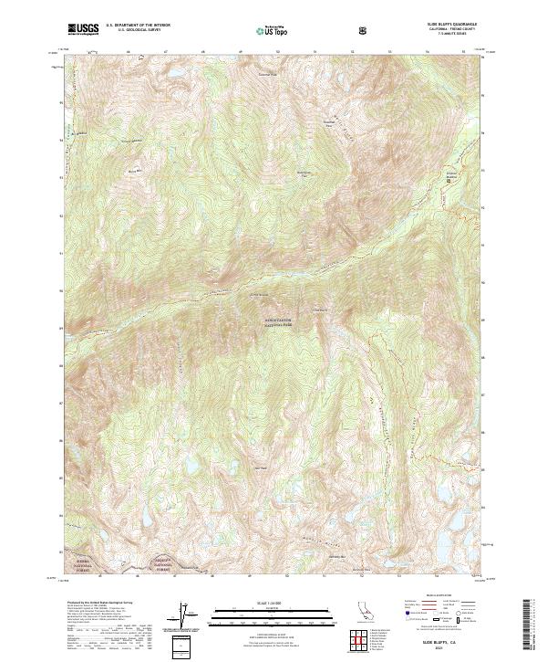
2021 Slide Bluffs
Fresno County, CA
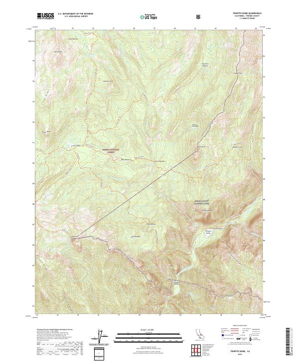
2021 Tehipite Dome
Fresno County, CA
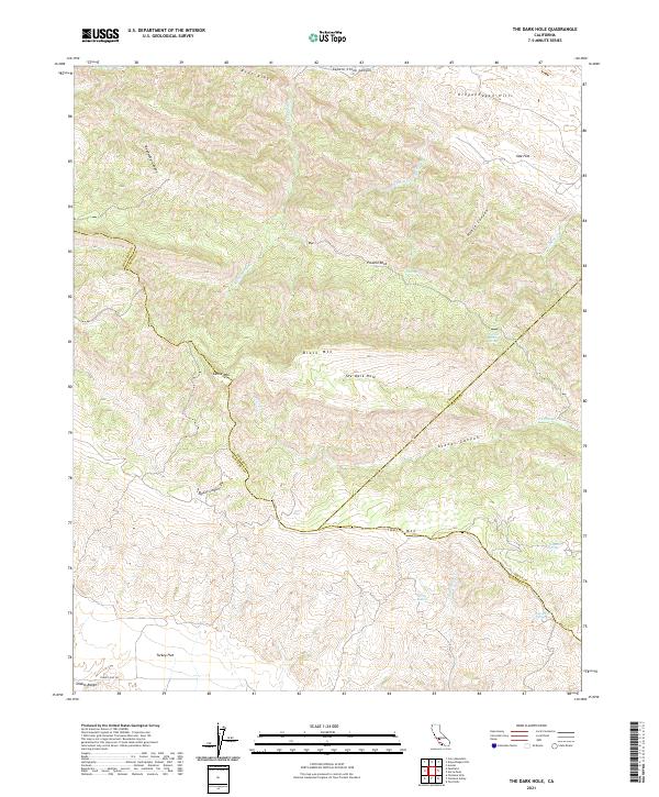
2021 The Dark Hole
Fresno County, CA
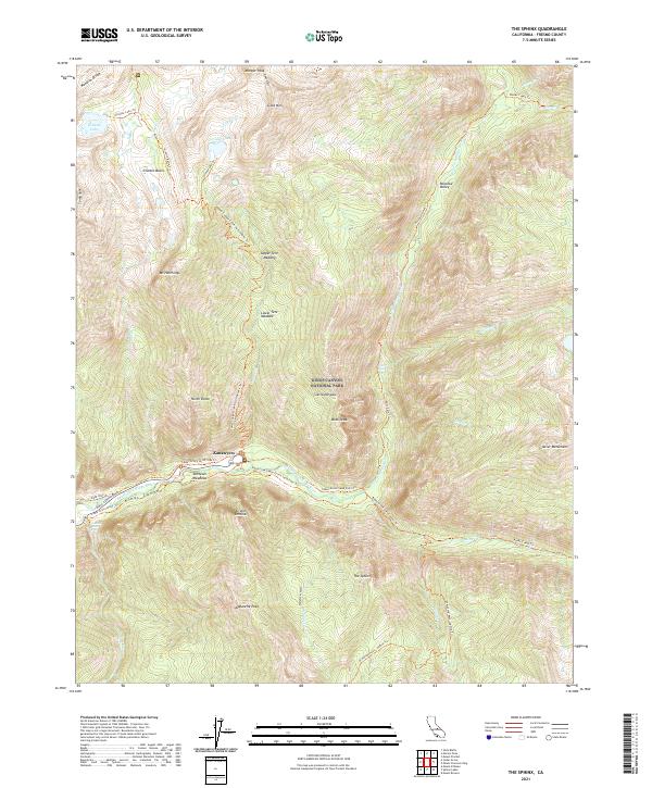
2021 The Sphinx
Fresno County, CA
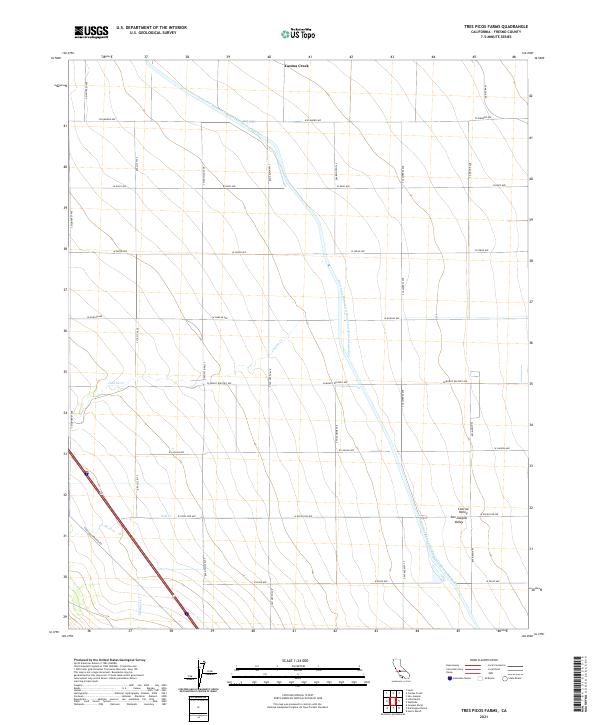
2021 Tres Picos Farms
Fresno County, CA
2021 Trimmer
Fresno County, CA
2021 Tucker Mountain
Fresno County, CA
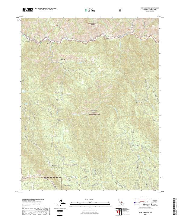
2021 Verplank Ridge
Fresno County, CA
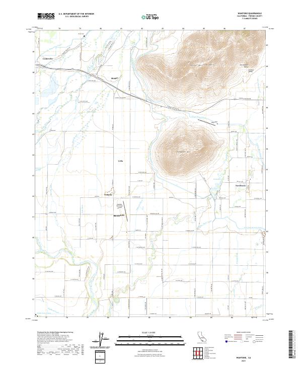
2021 Wahtoke
Fresno County, CA
2021 Ward Mountain
Fresno County, CA
2021 Wren Peak
Fresno County, CA
2023 Graveyard Peak
Fresno County, CA
2023 Millerton Lake East
Fresno County, CA
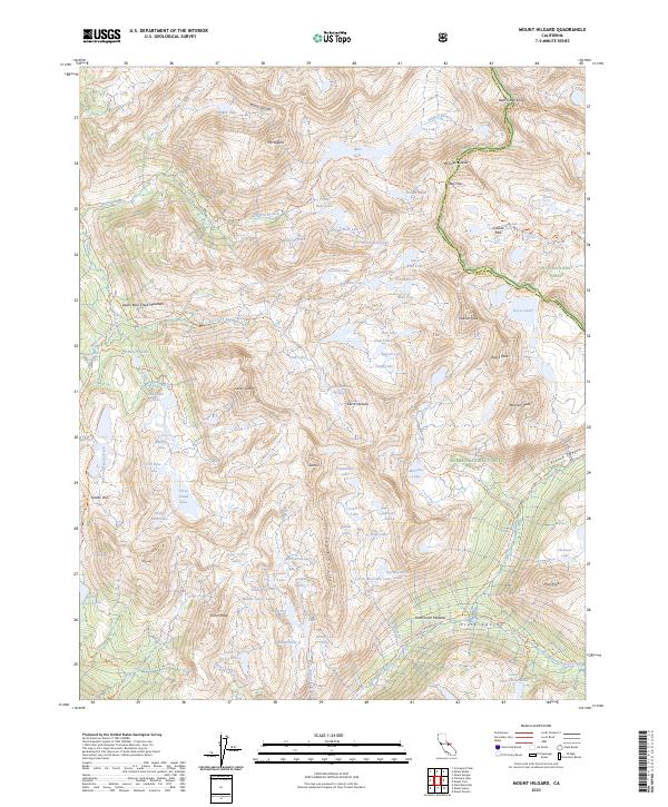
2023 Mount Hilgard
Fresno County, CA
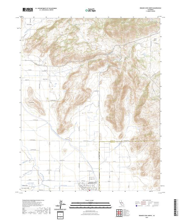
2023 Orange Cove North
Fresno County, CA
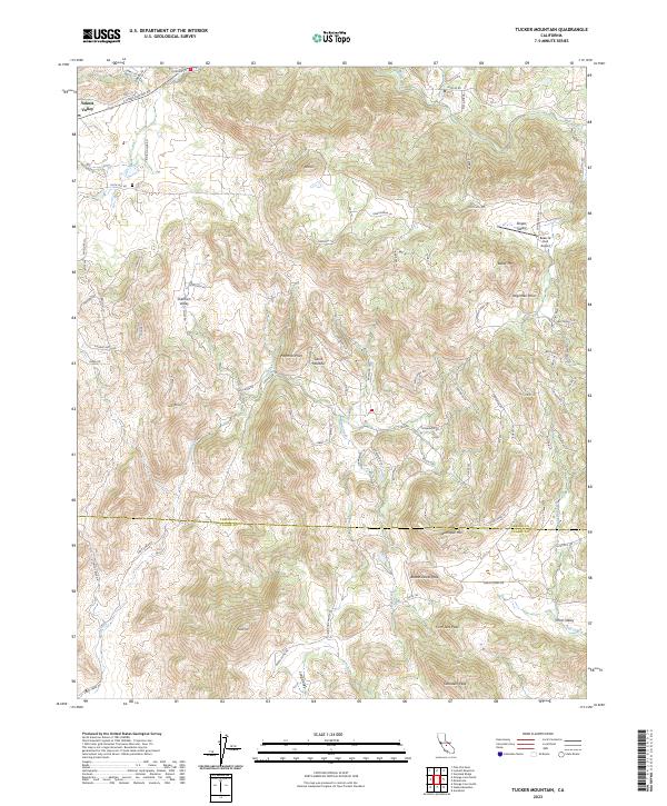
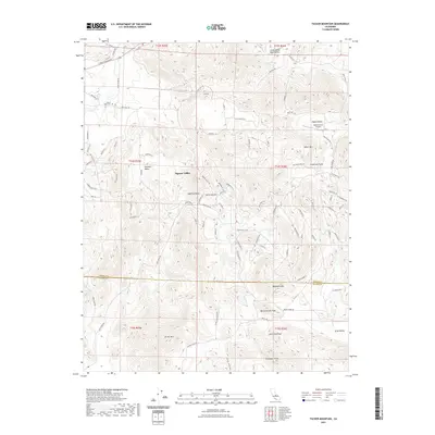
2023 Tucker Mountain
Fresno County, CA