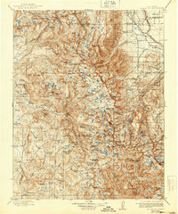
1912 Map of Mt. Goddard
USGS Topo · Published 1940About this map
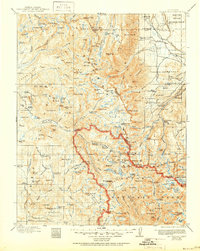
High peaks and glacial basins define this 1912 survey of the central High Sierra, where the Sierra National Forest meets the rugged divide between the San Joaquin River and the Kings River. This early topographic study documents the region's network of primitive trails and high-altitude crossings, including Muir Pass, Piute Pass, and Bishop Pass, long before modern infrastructure reached these basins. The landscape is dominated by the massive presence of Mt Goddard and the Palisades, with numerous named peaks such as Mt Darwin and Mt Haeckel honoring the naturalists of the era.
Find a feature on this map
139 named features on this map. Tap any name to fly to it.
Don’t see what you’re looking for? This feature index may not catch every label — zoom into the map to look around manually.
Map Details
Editions of this 1912 Mt. Goddard Map
10 editions found

1912 edition
16.5 x 19.7 inches
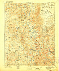
1918 edition
16.5 x 19.8 inches
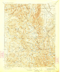
1923 edition
16.6 x 19.9 inches
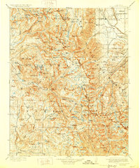
1928 edition
16.6 x 19.9 inches
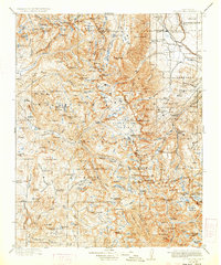
1933 edition
16.6 x 19.9 inches
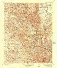
1937 edition
16.5 x 19.8 inches
1940 edition
16.5 x 19.8 inches
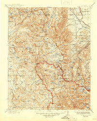
1945 edition
16.5 x 20.7 inches
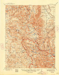
1948 edition
16.6 x 20.8 inches
1951 edition
16.6 x 20.8 inches
Other maps of this area

1901 · Mt. Lyell
USGS Topo · 1:125,000

1903 · Tehipite
USGS Topo · 1:125,000

1904 · Kaiser
USGS Topo · 1:125,000

1905 · Tehipite
USGS Topo · 1:125,000

1907 · Mt. Whitney
USGS Topo · 1:125,000
1912 · Mt. Goddard
USGS Topo · 1:125,000

1913 · Bishop
USGS Topo · 1:125,000

1914 · Mt. Morrison
USGS Topo · 1:125,000

1917 · White Mountain
USGS Topo · 1:125,000

1919 · Mt. Whitney
USGS Topo · 1:125,000