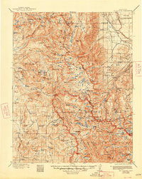
1912 Map of Mt. Goddard
USGS Topo · Published 1948About this map
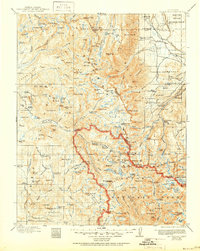
Indian Reservation lands and the high elevations of the Sierra National Forest dominate this early 20th-century survey of the eastern Sierra. The map details a landscape transition from the agricultural and utility infrastructure in Round Valley to the high-altitude peaks of the Great Western Divide. Significant engineering of the era is evident in the presence of the Ward Tunnel and a Power Station near Andrews Camp, reflecting the early development of hydroelectric power and water management in the region. The iconic Muir Trail threads through the high country, connecting alpine landmarks such as Lake Sabrina, Marie Lake, and Martha Lake. Notable peaks like Mt Stanford, Mt Humphreys, and Mt Abbot serve as primary navigational points across the boundary between Mono and Inyo counties.
Find a feature on this map
228 named features on this map. Tap any name to fly to it.
Don’t see what you’re looking for? This feature index may not catch every label — zoom into the map to look around manually.
Map Details
Editions of this 1912 Mt. Goddard Map
10 editions found

1912 edition
16.5 x 19.7 inches
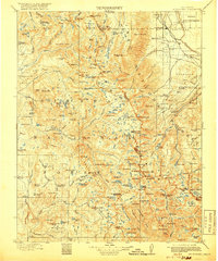
1918 edition
16.5 x 19.8 inches
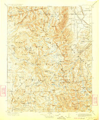
1923 edition
16.6 x 19.9 inches
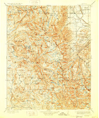
1928 edition
16.6 x 19.9 inches
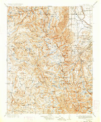
1933 edition
16.6 x 19.9 inches
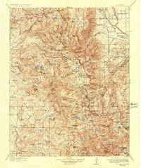
1937 edition
16.5 x 19.8 inches
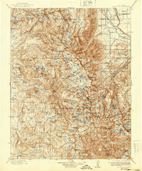
1940 edition
16.5 x 19.8 inches
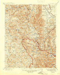
1945 edition
16.5 x 20.7 inches
1948 edition
16.6 x 20.8 inches
1951 edition
16.6 x 20.8 inches
Other maps of this area

1901 · Mt. Lyell
USGS Topo · 1:125,000

1903 · Tehipite
USGS Topo · 1:125,000

1904 · Kaiser
USGS Topo · 1:125,000

1905 · Tehipite
USGS Topo · 1:125,000

1907 · Mt. Whitney
USGS Topo · 1:125,000
1912 · Mt. Goddard
USGS Topo · 1:125,000

1913 · Bishop
USGS Topo · 1:125,000

1914 · Mt. Morrison
USGS Topo · 1:125,000

1917 · White Mountain
USGS Topo · 1:125,000

1919 · Mt. Whitney
USGS Topo · 1:125,000