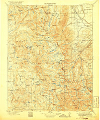
1912 Map of Mt. Goddard
USGS Topo · Published 1918About this map
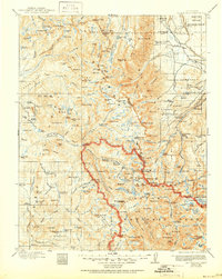
The High Sierra backcountry near the border of Fresno and Inyo counties appears here in a state of early development and exploration. Surveyed between 1907 and 1909, the landscape is defined by the headwaters of the San Joaquin River and the high-altitude basins of Sierra National Forest and Inyo National Forest. Local commerce and utilities are represented by an Old Brewery and a Power Station along the forks of Bishop Creek. Notable seasonal and remote camps such as Jackass Meadow, Blaney Meadows, and Poison Meadow offer evidence of the area's early grazing and packing history. The intricate glaciated topography is meticulously documented, from the Vermilion Cliffs and The Pinnacles to the series of glacial cirques known as the First, Second, Third, and Fourth Recess. This period represents the era before modern reservoir expansion, showing Lake Florence and Lake Sabrina in their early forms.
Find a feature on this map
195 named features on this map. Tap any name to fly to it.
Don’t see what you’re looking for? This feature index may not catch every label — zoom into the map to look around manually.
Map Details
Editions of this 1912 Mt. Goddard Map
10 editions found

1912 edition
16.5 x 19.7 inches
1918 edition
16.5 x 19.8 inches
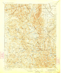
1923 edition
16.6 x 19.9 inches
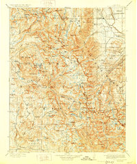
1928 edition
16.6 x 19.9 inches
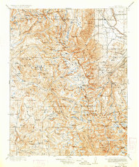
1933 edition
16.6 x 19.9 inches
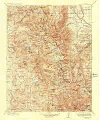
1937 edition
16.5 x 19.8 inches
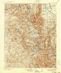
1940 edition
16.5 x 19.8 inches
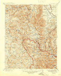
1945 edition
16.5 x 20.7 inches
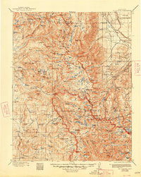
1948 edition
16.6 x 20.8 inches
1951 edition
16.6 x 20.8 inches
Other maps of this area

1901 · Mt. Lyell
USGS Topo · 1:125,000

1903 · Tehipite
USGS Topo · 1:125,000

1904 · Kaiser
USGS Topo · 1:125,000

1905 · Tehipite
USGS Topo · 1:125,000

1907 · Mt. Whitney
USGS Topo · 1:125,000
1912 · Mt. Goddard
USGS Topo · 1:125,000

1913 · Bishop
USGS Topo · 1:125,000

1914 · Mt. Morrison
USGS Topo · 1:125,000

1917 · White Mountain
USGS Topo · 1:125,000

1919 · Mt. Whitney
USGS Topo · 1:125,000