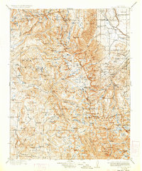
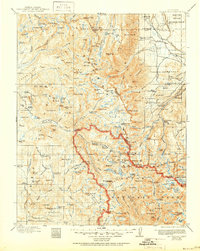
1912 Map of Mt. Goddard
USGS Topo · Published 1933About this map
Mt Goddard stands as the central landmark in this high-altitude survey of the Sierra Nevada, conducted just after the turn of the century. The map traces the early development of the Muir Trail, providing a clear look at the wilderness corridor before it became the heavily trafficked route of modern times. To the east, the Indian Reservation and the Tungsten Hills border the Round Valley floor, while the rugged interior is defined by massive glacial features like Evolution Valley and Ionian Basin.
Find a feature on this map
114 named features on this map. Tap any name to fly to it.
Don’t see what you’re looking for? This feature index may not catch every label — zoom into the map to look around manually.
Map Details
Editions of this 1912 Mt. Goddard Map
10 editions found

1912 edition
16.5 x 19.7 inches
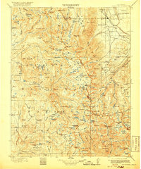
1918 edition
16.5 x 19.8 inches
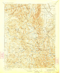
1923 edition
16.6 x 19.9 inches
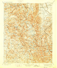
1928 edition
16.6 x 19.9 inches
1933 edition
16.6 x 19.9 inches
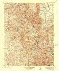
1937 edition
16.5 x 19.8 inches
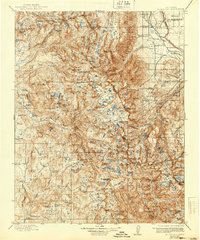
1940 edition
16.5 x 19.8 inches
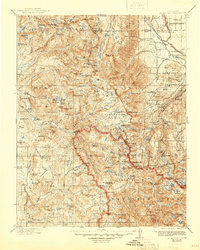
1945 edition
16.5 x 20.7 inches
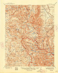
1948 edition
16.6 x 20.8 inches
1951 edition
16.6 x 20.8 inches
Other maps of this area

1901 · Mt. Lyell
USGS Topo · 1:125,000

1903 · Tehipite
USGS Topo · 1:125,000

1904 · Kaiser
USGS Topo · 1:125,000

1905 · Tehipite
USGS Topo · 1:125,000

1907 · Mt. Whitney
USGS Topo · 1:125,000
1912 · Mt. Goddard
USGS Topo · 1:125,000

1913 · Bishop
USGS Topo · 1:125,000

1914 · Mt. Morrison
USGS Topo · 1:125,000

1917 · White Mountain
USGS Topo · 1:125,000

1919 · Mt. Whitney
USGS Topo · 1:125,000