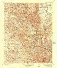
1912 Map of Mt. Goddard
USGS Topo · Published 1937About this map
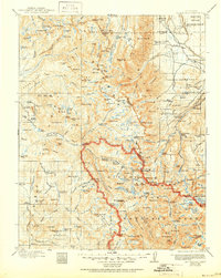
The South Fork San Joaquin River and its network of alpine tributaries dominate this high-altitude landscape during the early twentieth century. Before the full expansion of the regional hydroelectric infrastructure, the Ward Tunnel and a local Power Station reflect the early engineering efforts to harness the Sierran watershed. The terrain is a complex system of granite peaks and basins, including landmark summits like Mt Goddard, Seven Gables, and Bear Creek Spire. To the northeast, an Indian Reservation occupies a portion of the volcanic tableland. This 1907-1909 survey records the region's wilderness character just as it was becoming a focus for water management and recreational use, documented by Geo. R. Davis. Notable high-country gateways such as Hell for Sure Pass and Selden Pass provide passage between glacier-carved lakes like Lake Florence and Lake Sabrina.
Find a feature on this map
183 named features on this map. Tap any name to fly to it.
Don’t see what you’re looking for? This feature index may not catch every label — zoom into the map to look around manually.
Map Details
Editions of this 1912 Mt. Goddard Map
10 editions found

1912 edition
16.5 x 19.7 inches
1918 edition
16.5 x 19.8 inches
1923 edition
16.6 x 19.9 inches
1928 edition
16.6 x 19.9 inches
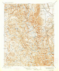
1933 edition
16.6 x 19.9 inches
1937 edition
16.5 x 19.8 inches
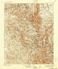
1940 edition
16.5 x 19.8 inches
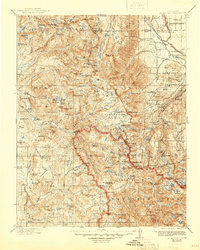
1945 edition
16.5 x 20.7 inches
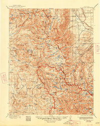
1948 edition
16.6 x 20.8 inches
1951 edition
16.6 x 20.8 inches
Other maps of this area

1901 · Mt. Lyell
USGS Topo · 1:125,000

1903 · Tehipite
USGS Topo · 1:125,000

1904 · Kaiser
USGS Topo · 1:125,000

1905 · Tehipite
USGS Topo · 1:125,000

1907 · Mt. Whitney
USGS Topo · 1:125,000
1912 · Mt. Goddard
USGS Topo · 1:125,000

1913 · Bishop
USGS Topo · 1:125,000

1914 · Mt. Morrison
USGS Topo · 1:125,000

1917 · White Mountain
USGS Topo · 1:125,000

1919 · Mt. Whitney
USGS Topo · 1:125,000