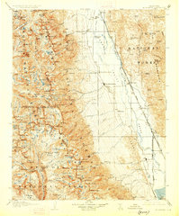
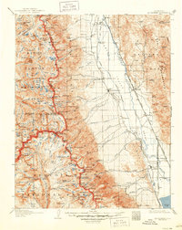
1907 Map of Mt. Whitney
USGS Topo · Published 1927About this map
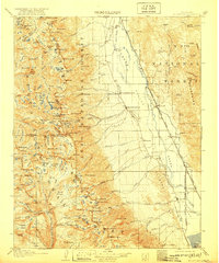
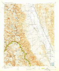
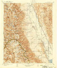
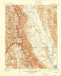
The town of Independence serves as a central hub in the Owens Valley during the early twentieth century, situated between the high peaks of the Sierra Nevada and the Inyo Mountains. This survey documents a critical period for the region's infrastructure, showing the Southern Pacific System and the Narrow Gage System railroads threading through the valley floor. Near the mountains' base, Old Camp Independence and the settlement of Manzanar are visible, alongside the Tyndall Ranger Station deep in the high country.
Find a feature on this map
163 named features on this map. Tap any name to fly to it.
Don’t see what you’re looking for? This feature index may not catch every label — zoom into the map to look around manually.
Map Details
Editions of this 1907 Mt. Whitney Map
10 editions found
Other maps of this area

1903 · Tehipite
USGS Topo · 1:125,000

1904 · Kaweah
USGS Topo · 1:125,000

1905 · Tehipite
USGS Topo · 1:125,000

1905 · Olancha
USGS Topo · 1:125,000

1907 · Olancha
USGS Topo · 1:125,000

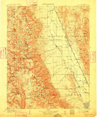
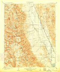
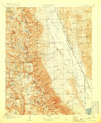
1907 · Mt. Whitney
USGS Topo · 1:125,000

1908 · Lida
USGS Topo · 1:250,000

1908 · Ballarat
USGS Topo · 1:250,000

1909 · Kaweah
USGS Topo · 1:125,000

1912 · Mt. Goddard
USGS Topo · 1:125,000