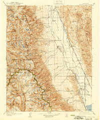
1907 Map of Mt. Whitney
USGS Topo · Published 1939About this map
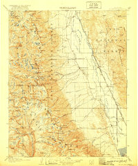
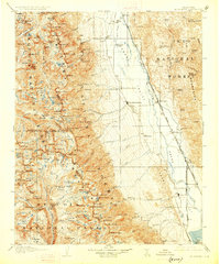
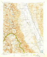
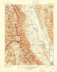
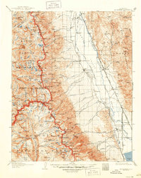
Independence and the high peaks of the Sierra Nevada define this 1930s landscape, illustrating the sharp geographic divide between the Owens Valley and the alpine wilderness. The eastern portion of the map traces the Southern Pacific System through high-altitude settlements like Owenyo and Kearsarge, while the western half is dominated by the high-country terrain of Sequoia National Park. A significant interpretive detail is the presence of an earthquake fault running parallel to the valley floor, marking the seismic history of the region near Lone Pine. Mountaineering and early conservation efforts are evident in the inclusion of the John Muir Trail, which winds past icons such as Tulainyo Lake and high-country landmarks like Tyndall Ranger Station, serving as a record of the area's development for tourism and resource management in the early twentieth century.
Find a feature on this map
138 named features on this map. Tap any name to fly to it.
Don’t see what you’re looking for? This feature index may not catch every label — zoom into the map to look around manually.
Map Details
Editions of this 1907 Mt. Whitney Map
10 editions found
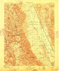
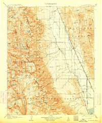
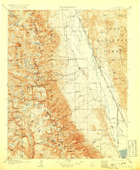
Other maps of this area

1903 · Tehipite
USGS Topo · 1:125,000

1904 · Kaweah
USGS Topo · 1:125,000

1905 · Tehipite
USGS Topo · 1:125,000

1905 · Olancha
USGS Topo · 1:125,000

1907 · Olancha
USGS Topo · 1:125,000

1907 · Mt. Whitney
USGS Topo · 1:125,000

1908 · Lida
USGS Topo · 1:250,000

1908 · Ballarat
USGS Topo · 1:250,000

1909 · Kaweah
USGS Topo · 1:125,000

1912 · Mt. Goddard
USGS Topo · 1:125,000