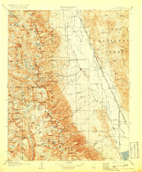
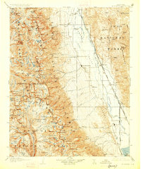
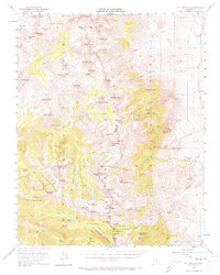
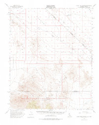
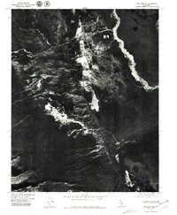
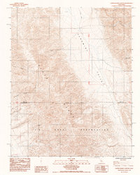
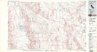
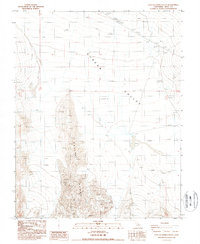
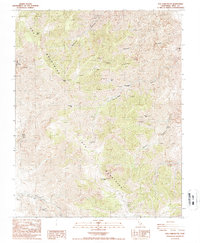
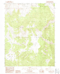
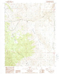
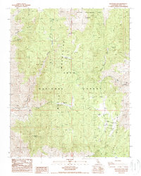
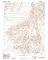
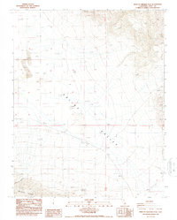
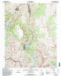
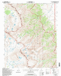
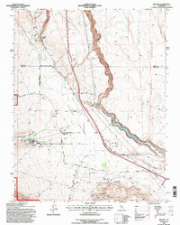
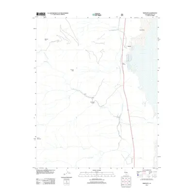
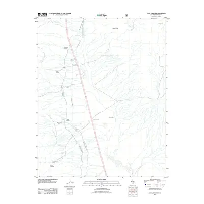
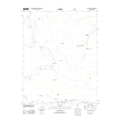
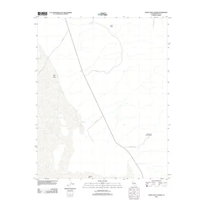
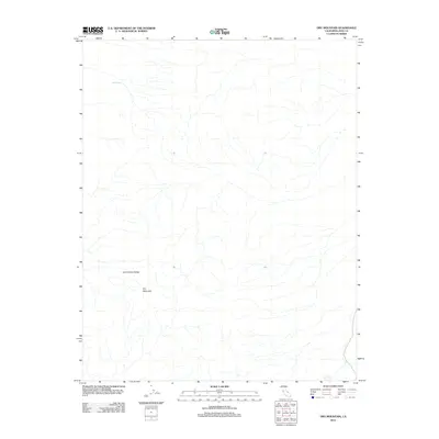
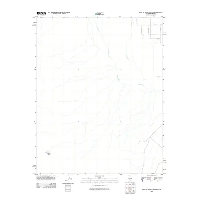
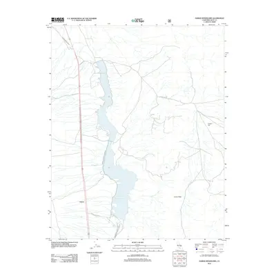
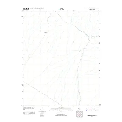
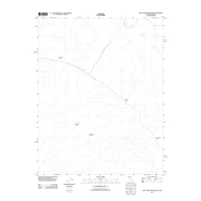
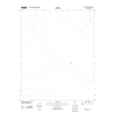
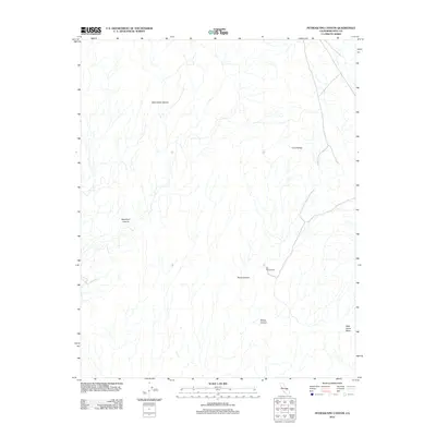
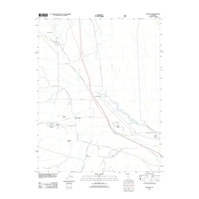
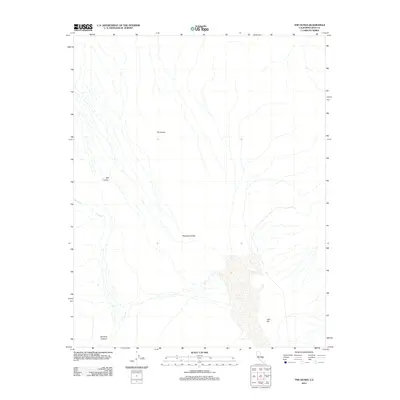
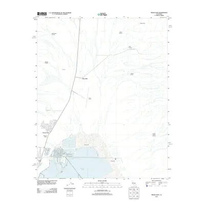
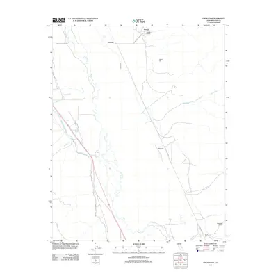
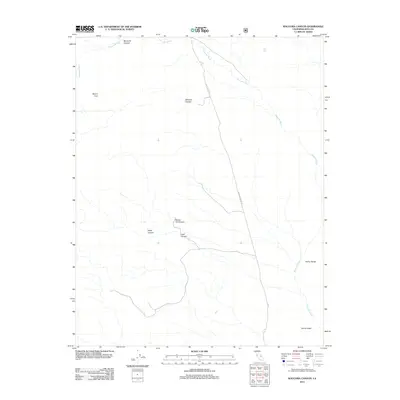
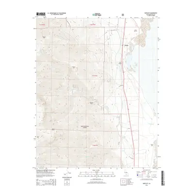
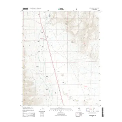
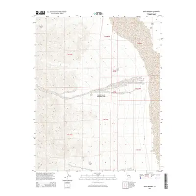
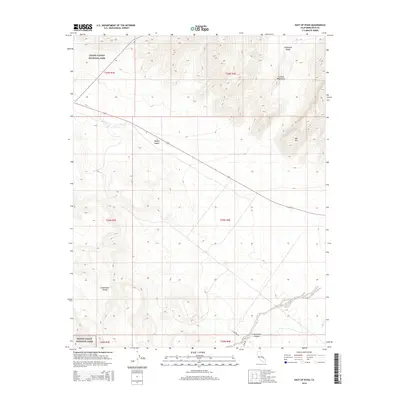
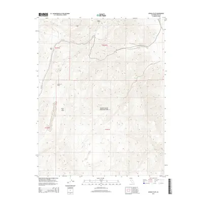
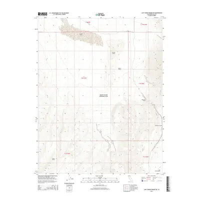
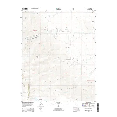
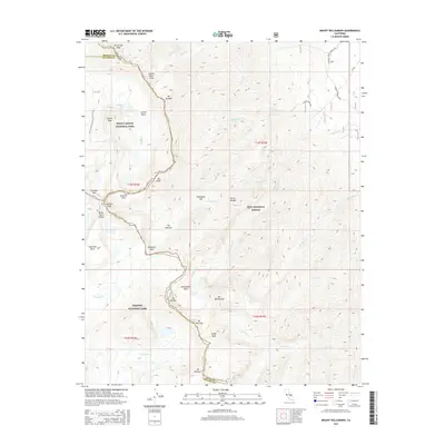
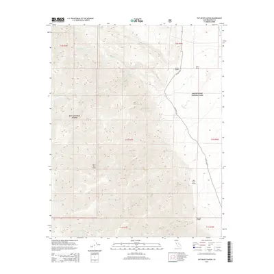
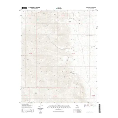
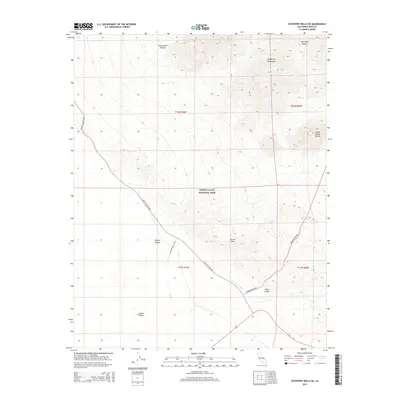
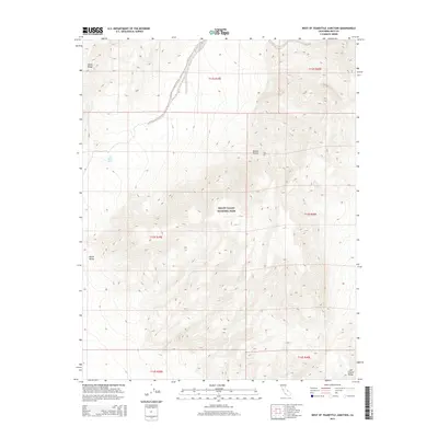
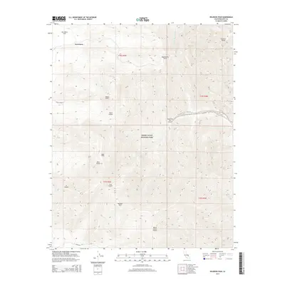
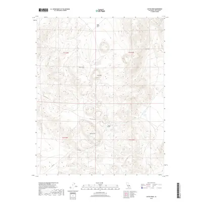
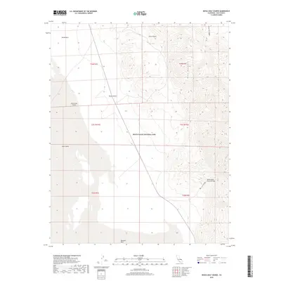
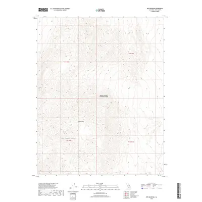
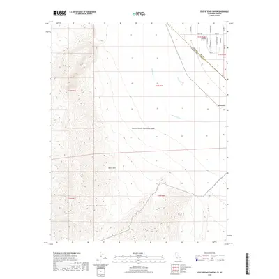
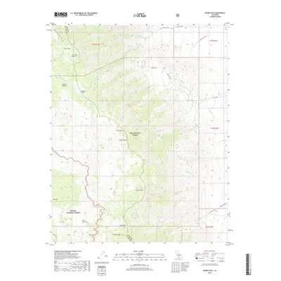
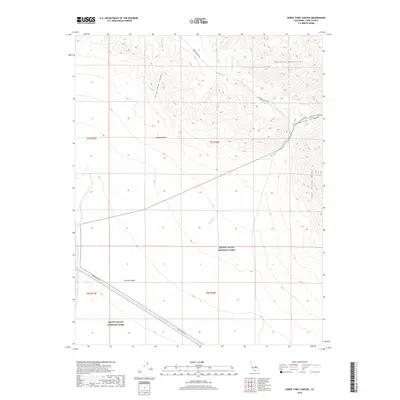
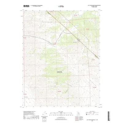
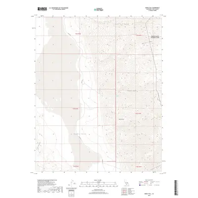
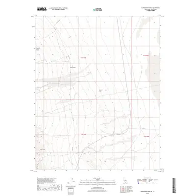
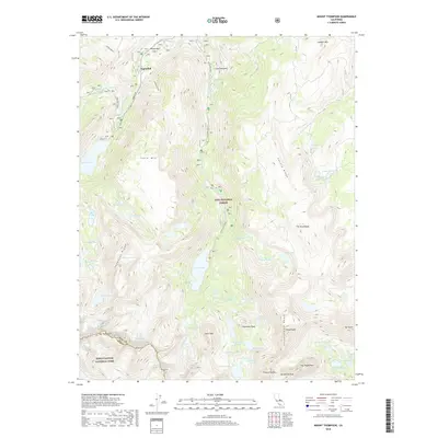
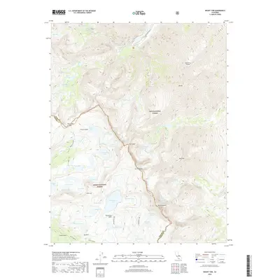
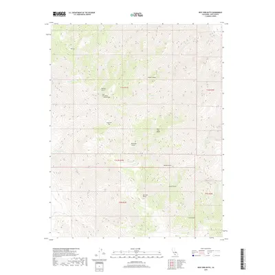
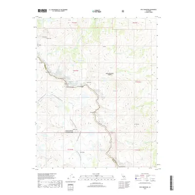
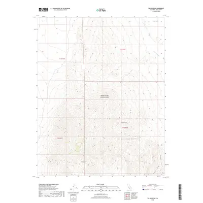
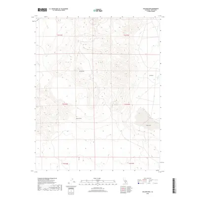
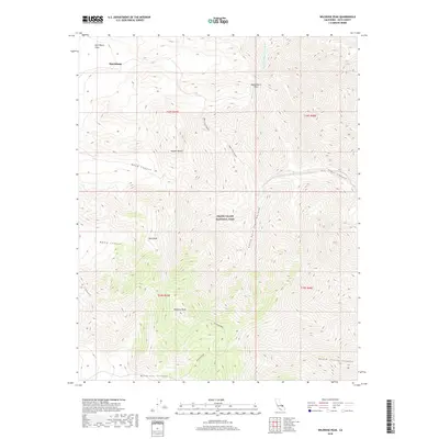
1907 Map of Mt. Whitney
USGS Topo · Published 1920About this map
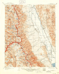
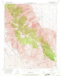
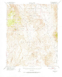
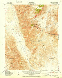
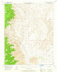
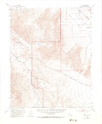
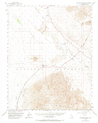
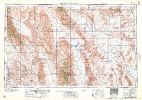
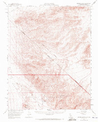
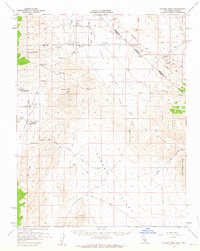
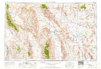
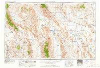
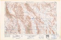
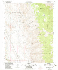
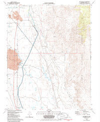
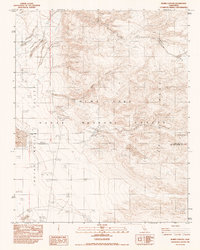
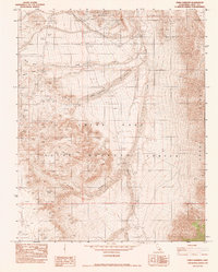
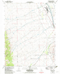
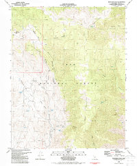
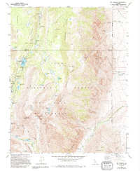
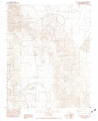
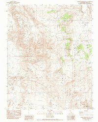
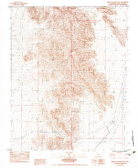
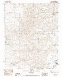
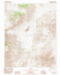
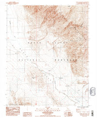
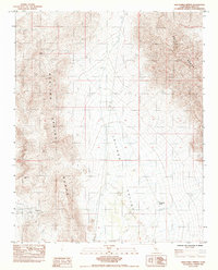
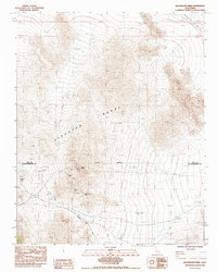
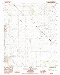
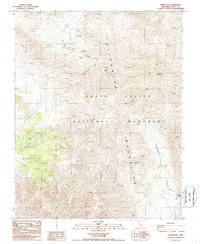
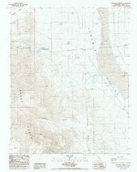
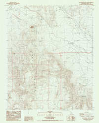
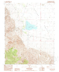
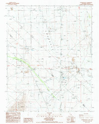
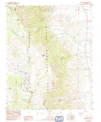
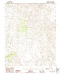
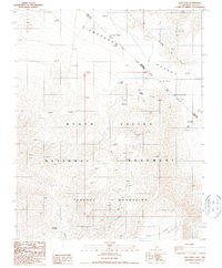
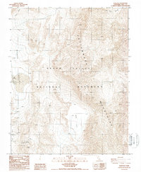
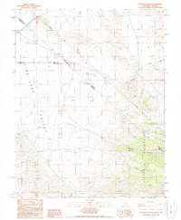
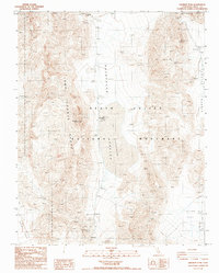
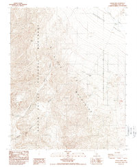
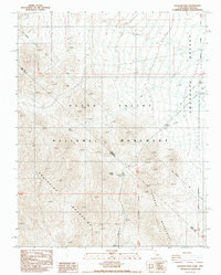
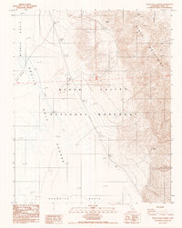
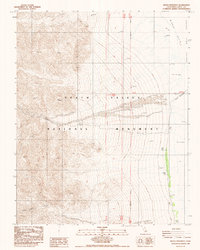
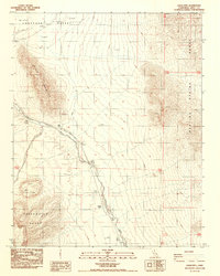
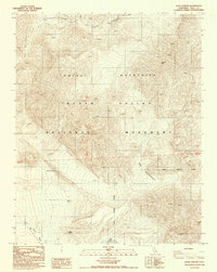
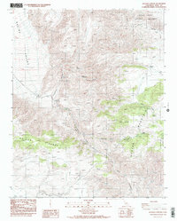
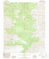
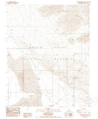
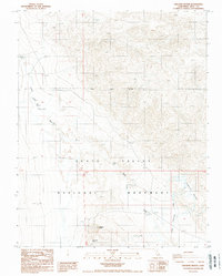
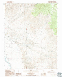
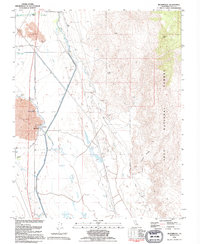
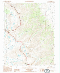
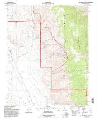
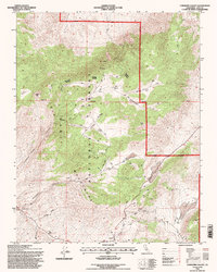
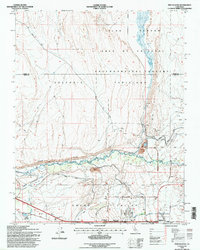
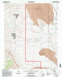
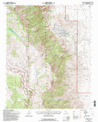
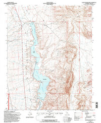
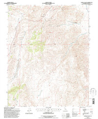
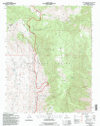
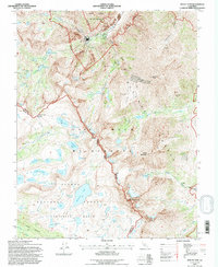
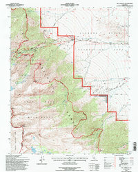
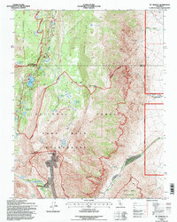
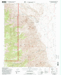
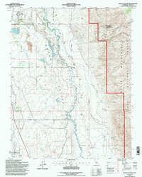
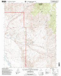
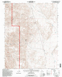
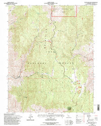
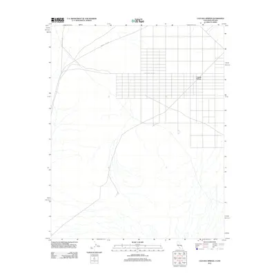
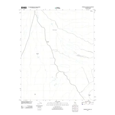
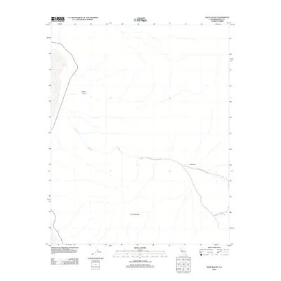
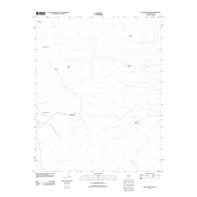
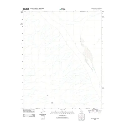
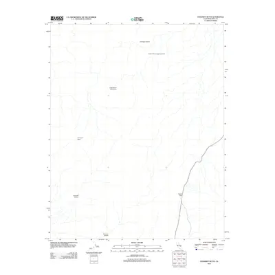
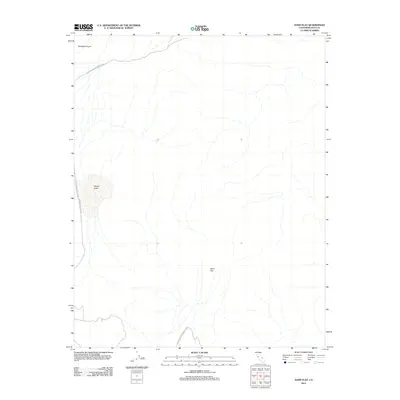
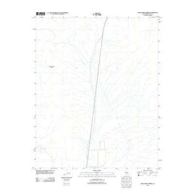
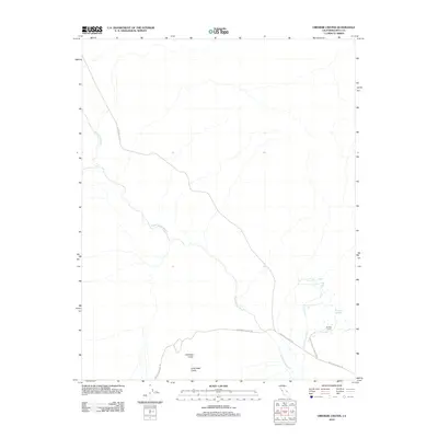
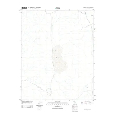
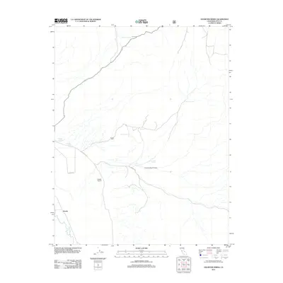
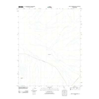
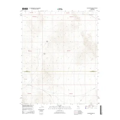
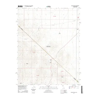
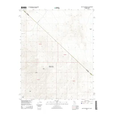
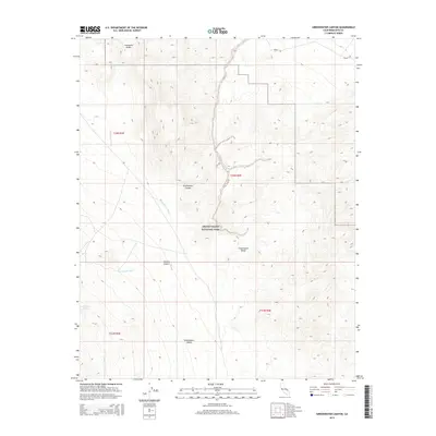
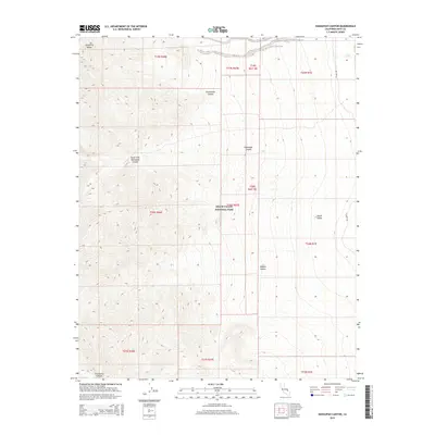
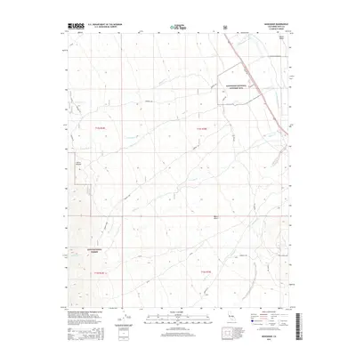
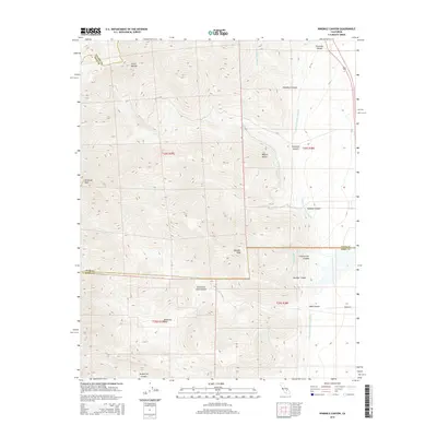
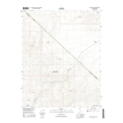
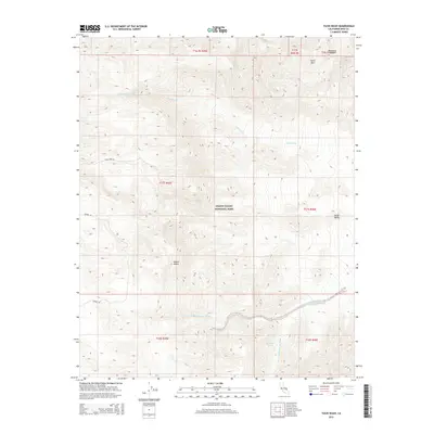
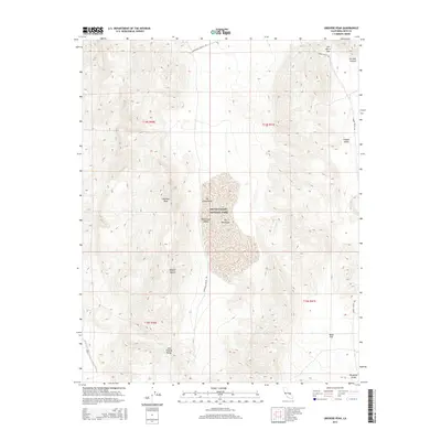
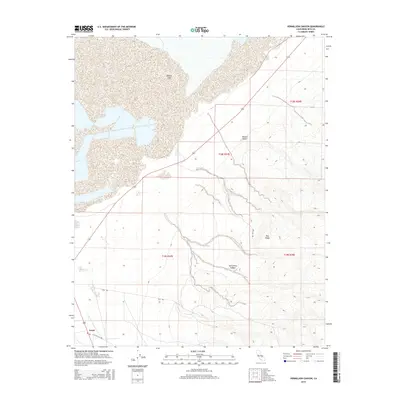
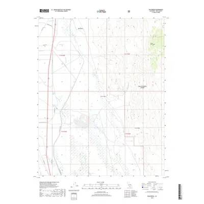
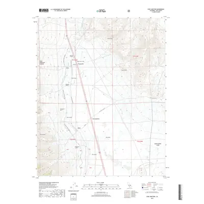
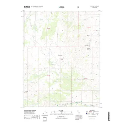
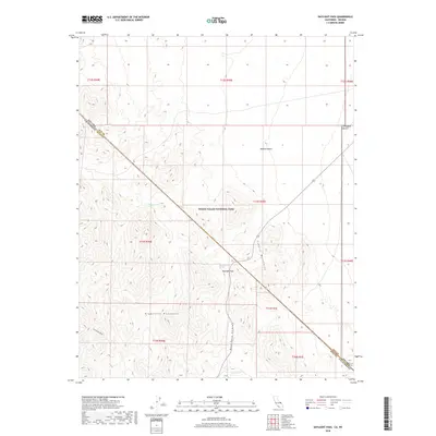
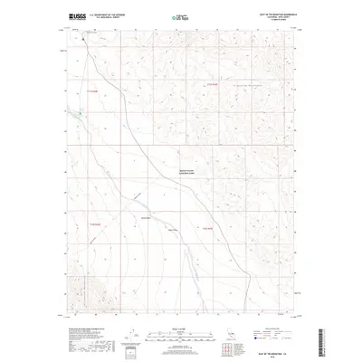
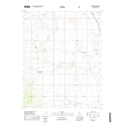
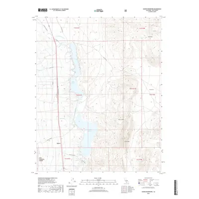
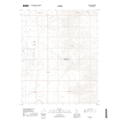
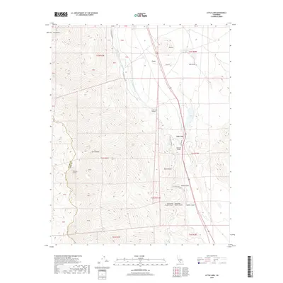
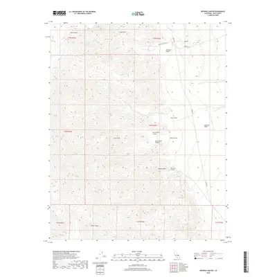
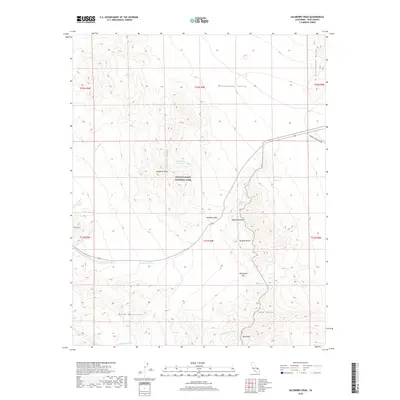
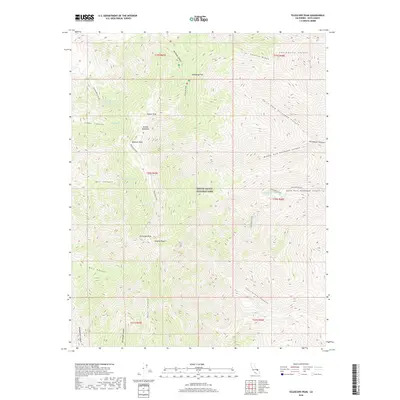
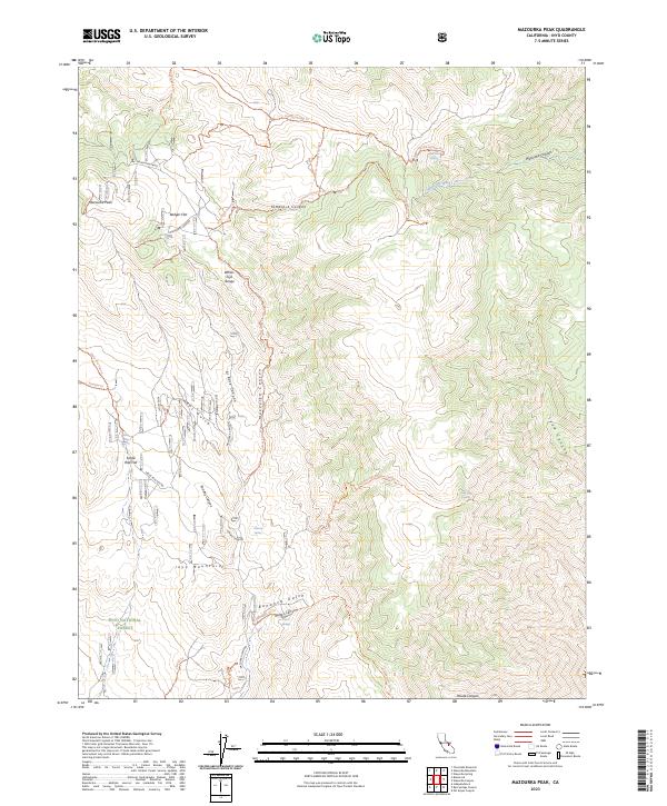
Independence and the high desert settlements of the Owens Valley stand in stark contrast to the massive peaks of the Sierra Nat For and Inyo National Forest in this 1905 survey. The map records a landscape shaped by both dramatic geology and early transportation, featuring the prominent Earthquake Fault running parallel to the Southern Pacific System tracks. While the eastern half captures the valley floor and the Mojave-Owenyo Br, the western portion is dominated by the high crest of the Sierra Nevada, including Mt Whitney and Mt Baxter. Between these extremes, historical landmarks like Old Camp Independence and the high-altitude Onion Valley indicate the early routes and outposts that linked the desert floor to the alpine passes. The inclusion of the Bluebell Mine in the Inyo Mountains further illustrates the era's focus on identifying mineral wealth within the high-relief terrain.
Find a feature on this map
173 named features on this map. Tap any name to fly to it.
Don’t see what you’re looking for? This feature index may not catch every label — zoom into the map to look around manually.
Map Details
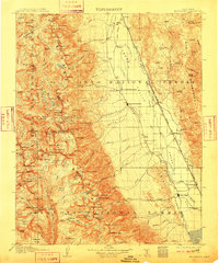
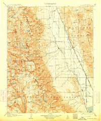
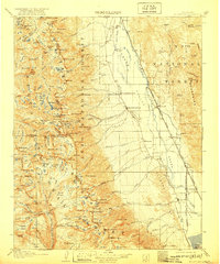
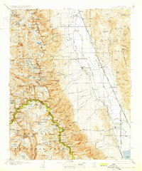
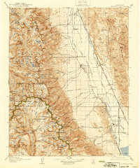
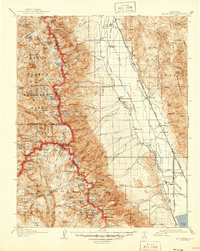
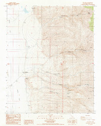
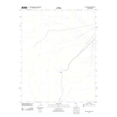
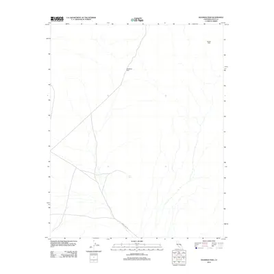
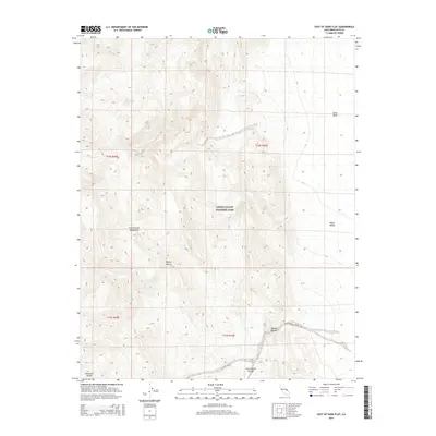
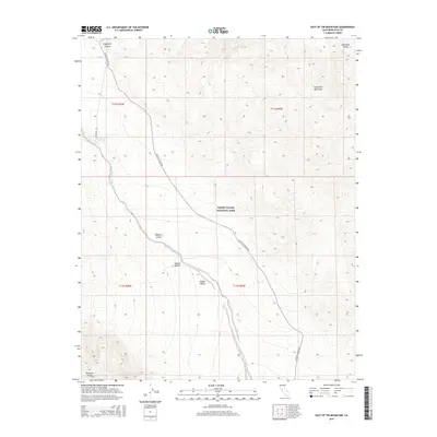
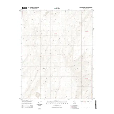
Editions of this 1907 Mt. Whitney Map
10 editions found

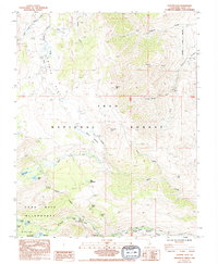
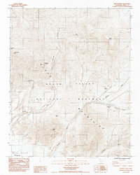
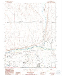
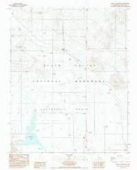
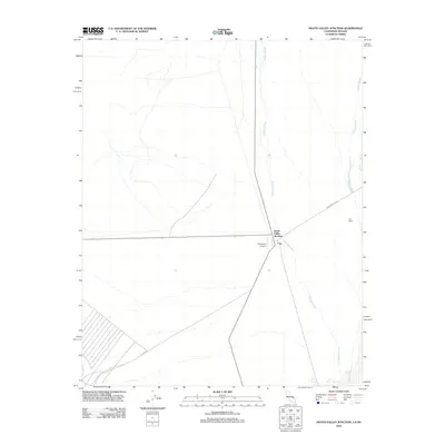
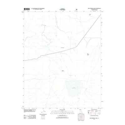
Historical Maps of Lone Pine Through Time
944 maps found
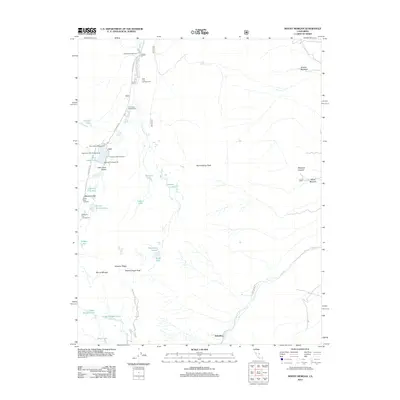
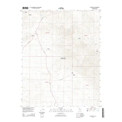
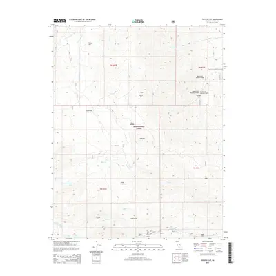
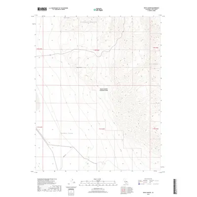
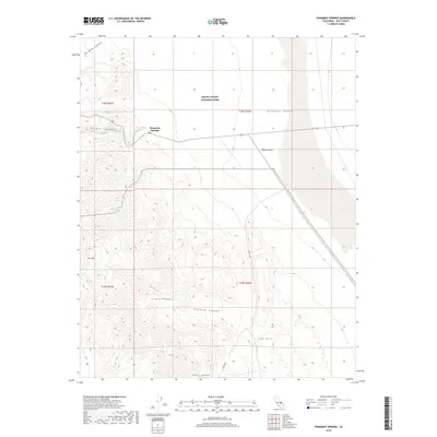
1907 Mt. Whitney
Inyo County, CA

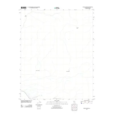
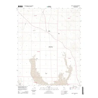
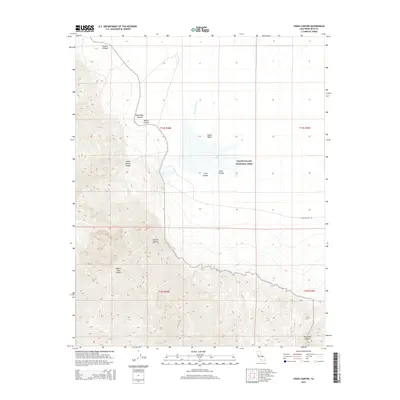
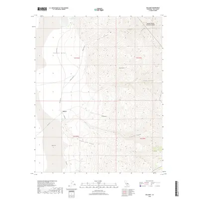
1908 Ballarat
Inyo County, CA
1913 Ballarat
Inyo County, CA

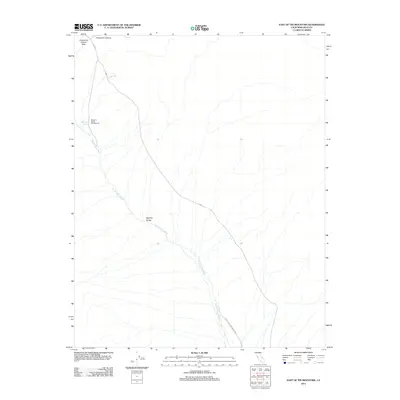
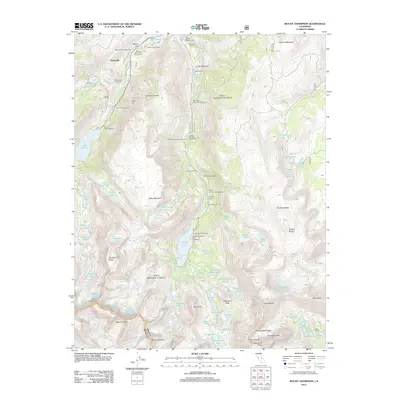
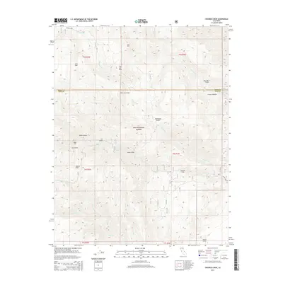
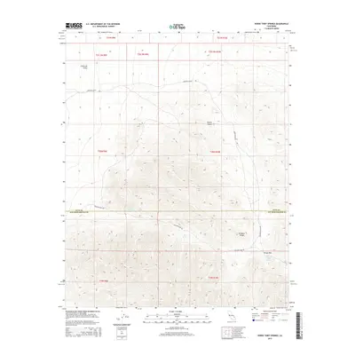
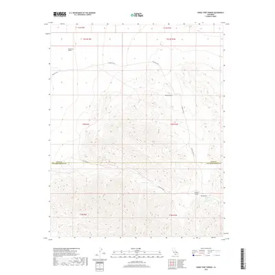
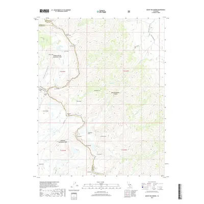
1919 Mt. Whitney
Inyo County, CA
1937 Mt. Whitney
Inyo County, CA
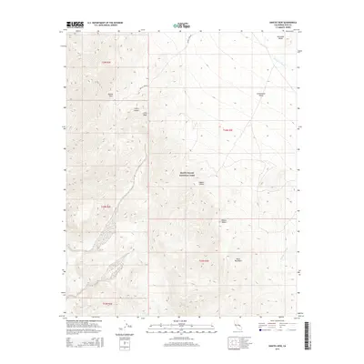
1940 Eagle Tank
Inyo County, CA
1948 Death Valley
Inyo County, CA
1949 Mt. Tom
Inyo County, CA
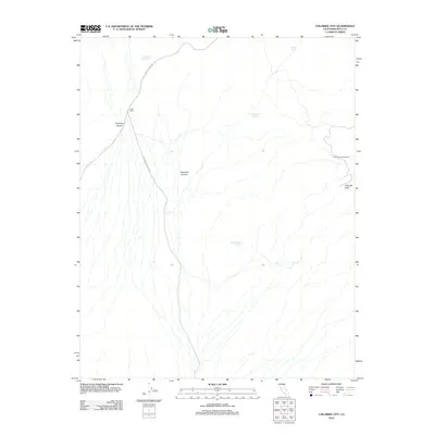
1950 Confidence Hills
Inyo County, CA
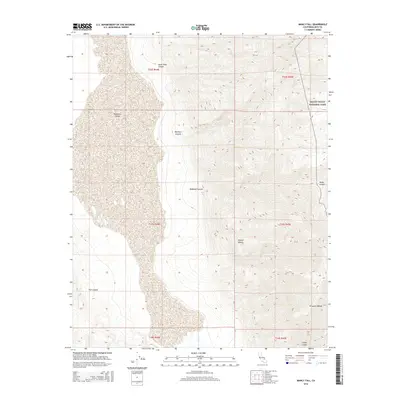
1950 Manly Peak
Inyo County, CA
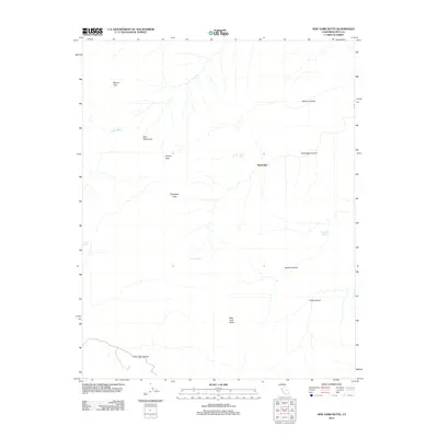
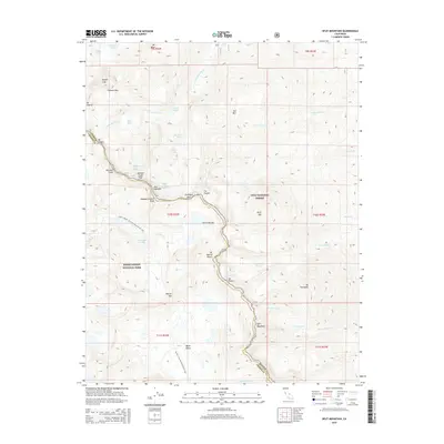
1950 New York Butte
Inyo County, CA
1950 Ubehebe Peak
Inyo County, CA
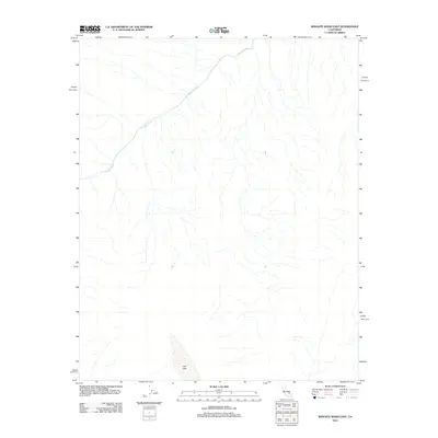
1950 Wingate Wash
Inyo County, CA
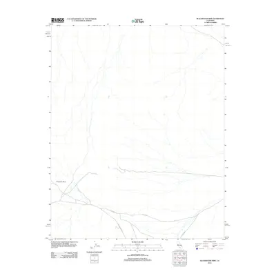
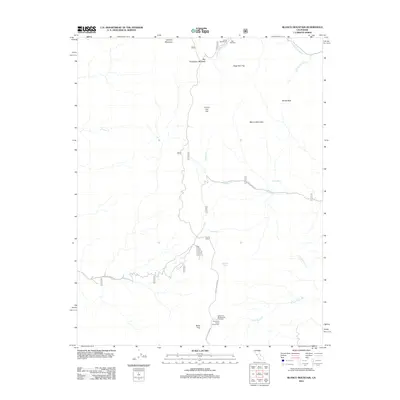
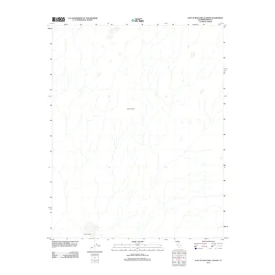
1951 Blanco Mountain
Inyo County, CA
1951 Coso Peak
Inyo County, CA
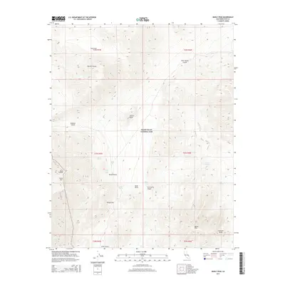
1951 Eagle Mtn
Inyo County, CA
1951 Funeral Peak
Inyo County, CA
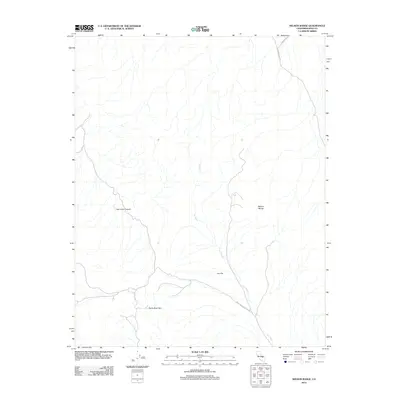
1951 Haiwee Reservoir
Inyo County, CA
1951 Manly Peak
Inyo County, CA
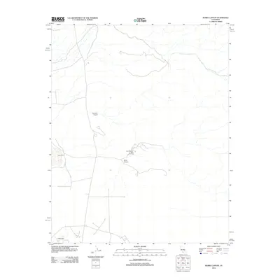
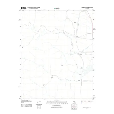
1951 Marble Canyon
Inyo County, CA
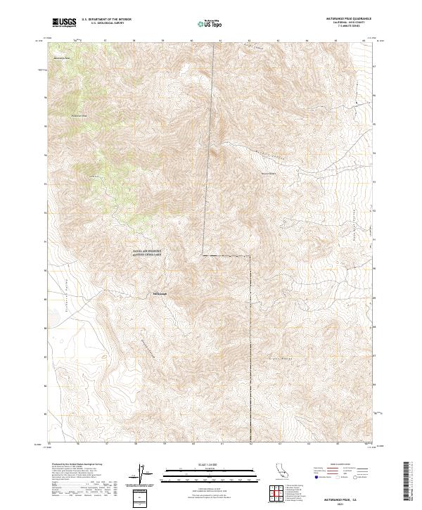
1951 Maturango Peak
Inyo County, CA
1951 Mt. Tom
Inyo County, CA
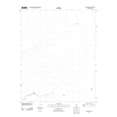
1951 New York Butte
Inyo County, CA
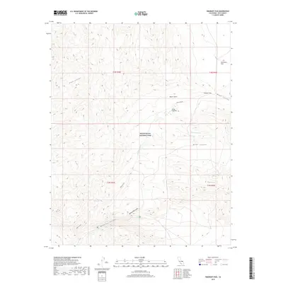
1951 Panamint Butte
Inyo County, CA
1951 Ubehebe Peak
Inyo County, CA
1951 Waucoba Mtn
Inyo County, CA
1951 Waucoba Wash
Inyo County, CA
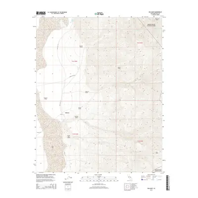
1952 Bennetts Well
Inyo County, CA
1952 Chloride Cliff
Inyo County, CA
1952 Emigrant Canyon
Inyo County, CA
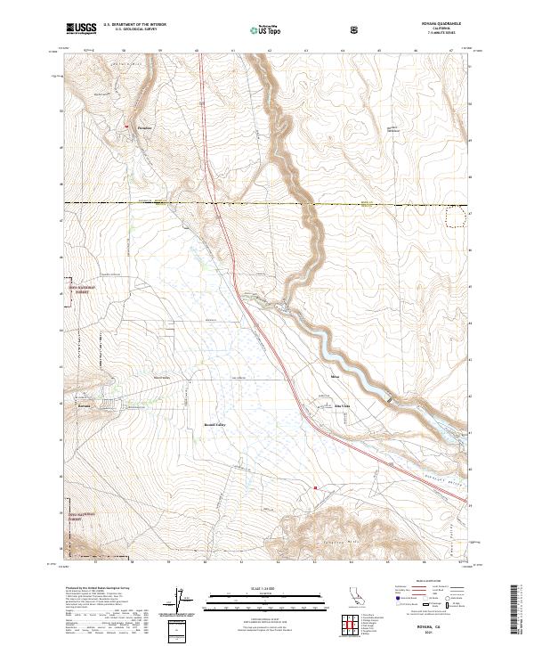
1952 Ryan
Inyo County, CA
1952 Stovepipe Wells
Inyo County, CA
1952 Telescope Peak
Inyo County, CA
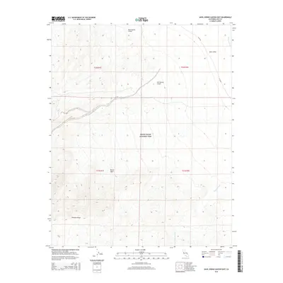
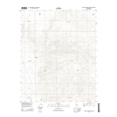
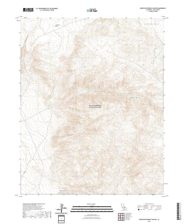
1953 Mountain Springs Canyon
Inyo County, CA
1953 Mt. Pinchot
Inyo County, CA
1954 Death Valley
Inyo County, CA
1954 Little Lake
Inyo County, CA
1954 Mt. Tom
Inyo County, CA

1956 Death Valley
Inyo County, CA
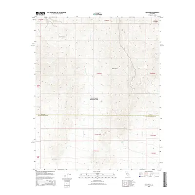
1956 Horse Thief Springs
Inyo County, CA
1957 Death Valley
Inyo County, CA
1957 Dry Mountain
Inyo County, CA
1957 Grapevine Peak
Inyo County, CA

1957 Tin Mountain
Inyo County, CA
1957 Ubehebe Crater
Inyo County, CA
1957 Waucoba Wash
Inyo County, CA
1958 Death Valley
Inyo County, CA
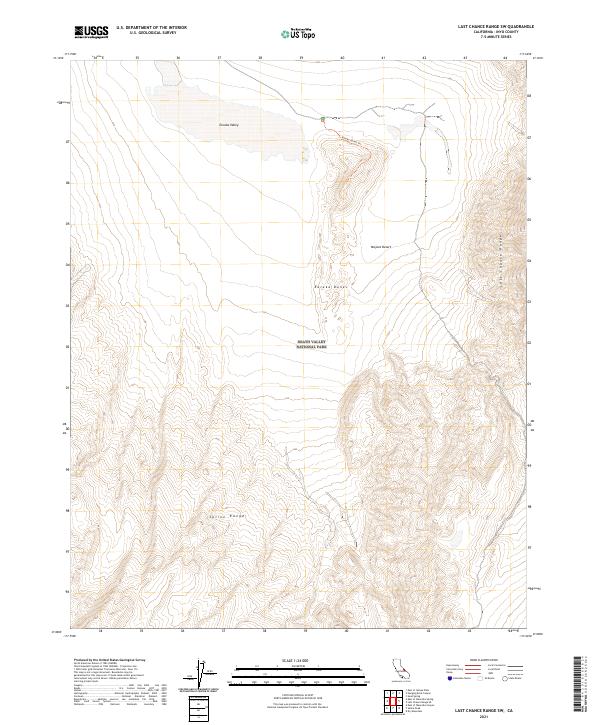
1958 Last Chance Range
Inyo County, CA
1958 Soldier Pass
Inyo County, CA
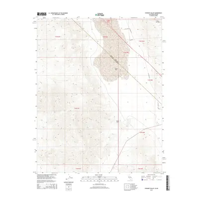
1958 Stewart Valley
Inyo County, CA
1958 Waucoba Mtn
Inyo County, CA
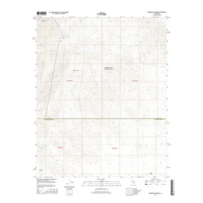
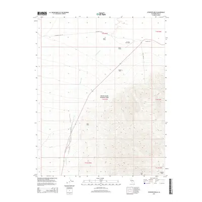
1958 Waucoba Spring
Inyo County, CA
1961 Death Valley
Inyo County, CA
1964 Death Valley
Inyo County, CA
1965 Death Valley
Inyo County, CA
1975 Lone Pine NE
Inyo County, CA
1975 Lone Pine SE
Inyo County, CA
1978 Mount Whitney
Inyo County, CA
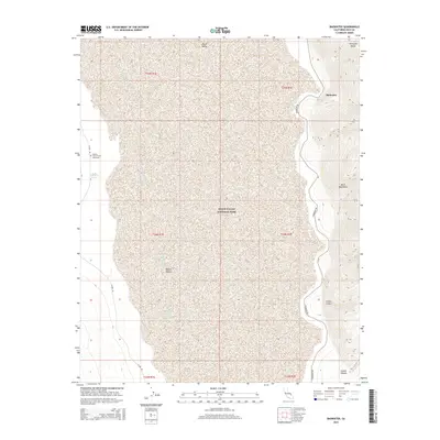
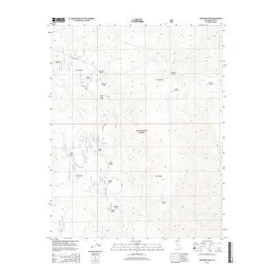
1979 Mazourka Peak
Inyo County, CA
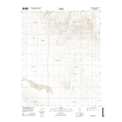
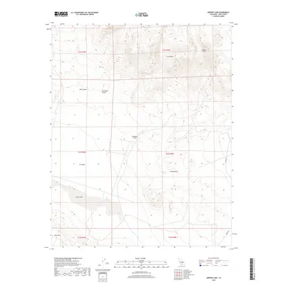
1982 Airport Lake
Inyo County, CA
1982 Bee Springs Canyon
Inyo County, CA
1982 Blackrock
Inyo County, CA
1982 Burro Canyon
Inyo County, CA
1982 China Gardens
Inyo County, CA
1982 Coso Junction
Inyo County, CA
1982 Coso Peak
Inyo County, CA
1982 Haiwee Reservoirs
Inyo County, CA
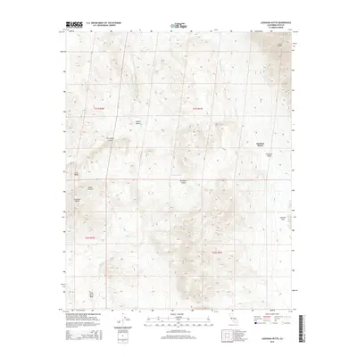
1982 Louisiana Butte
Inyo County, CA
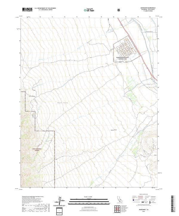
1982 Manzanar
Inyo County, CA
1982 Maturango Peak
Inyo County, CA
1982 Maturango Peak NE
Inyo County, CA
1982 Maturango Peak SE
Inyo County, CA
1982 Mazourka Peak
Inyo County, CA
1982 Mountain Springs Canyon
Inyo County, CA
1982 Mount Tom
Inyo County, CA
1982 Mt. Langley
Inyo County, CA
1982 Mt. Morgan
Inyo County, CA
1982 Ninemile Canyon
Inyo County, CA
1982 Petroglyph Canyon
Inyo County, CA
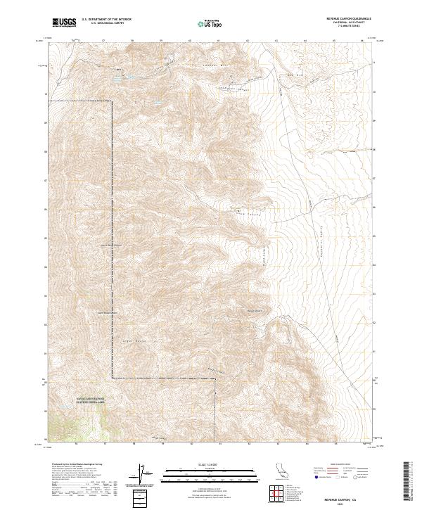
1982 Revenue Canyon
Inyo County, CA
1982 Slate Range Crossing
Inyo County, CA
1982 Trona East
Inyo County, CA
1982 Tungsten Hills
Inyo County, CA
1982 Union Wash
Inyo County, CA
1982 Upper Centennial Flat
Inyo County, CA
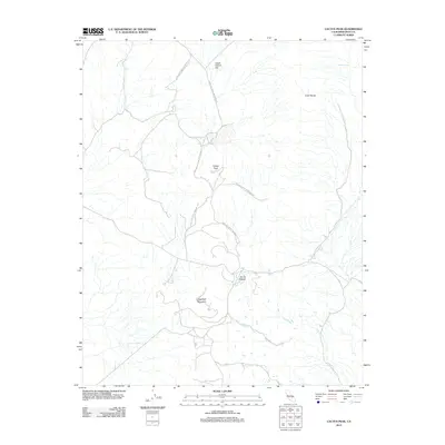
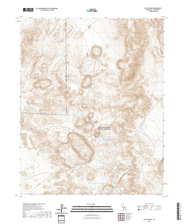
1983 Cactus Peak
Inyo County, CA
1983 Little Lake
Inyo County, CA
1983 Mt. Thompson
Inyo County, CA
1983 North of Tecopa Pass
Inyo County, CA
1983 Resting Spring
Inyo County, CA
1983 Rovana
Inyo County, CA
1983 Tecopa Pass
Inyo County, CA
1983 Trona West
Inyo County, CA
1983 Volcano Peak
Inyo County, CA
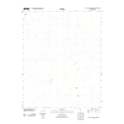
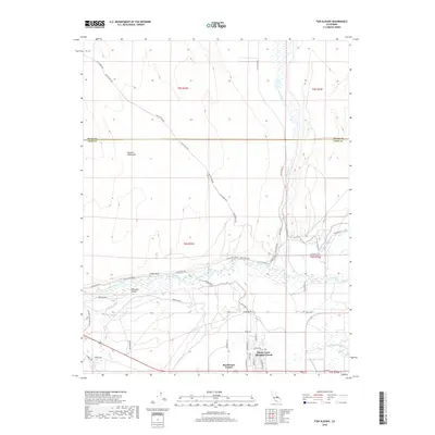
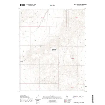
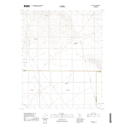
1983 White Hills
Inyo County, CA

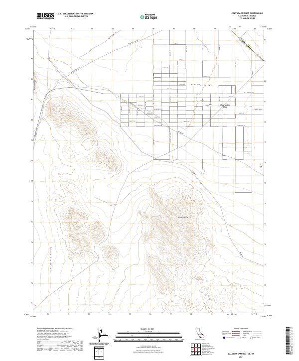
1984 Calvada Springs
Inyo County, CA
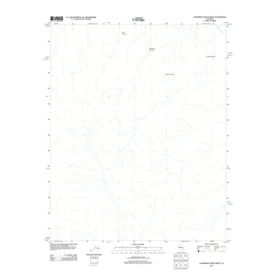
1984 Confidence Hills East
Inyo County, CA
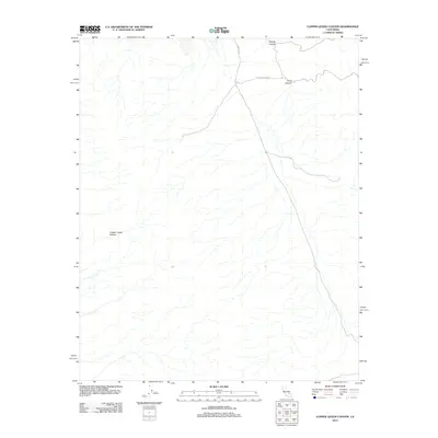
1984 Copper Queen Canyon
Inyo County, CA
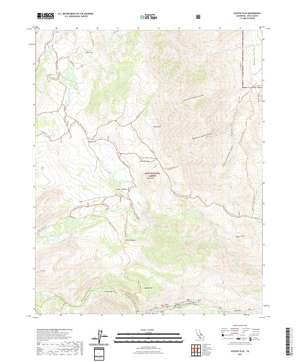
1984 Coyote Flat
Inyo County, CA
1984 Epaulet Peak
Inyo County, CA
1984 Fish Slough
Inyo County, CA
1984 Fish Springs
Inyo County, CA
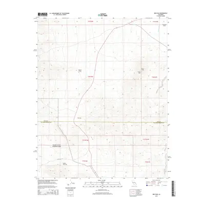
1984 Horse Thief Springs
Inyo County, CA
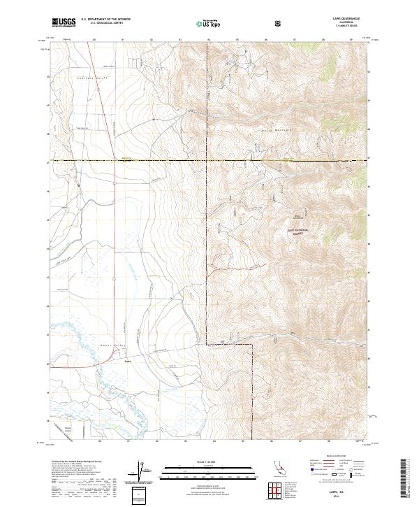
1984 Laws
Inyo County, CA
1984 Manly Fall
Inyo County, CA
1984 Manly Peak
Inyo County, CA
1984 Mt. Williamson
Inyo County, CA
1984 Nopah Peak
Inyo County, CA
1984 Poleta Canyon
Inyo County, CA
1984 Shore Line Butte
Inyo County, CA
1984 Sourdough Spring
Inyo County, CA
1984 Split Mtn.
Inyo County, CA
1984 Stewart Valley
Inyo County, CA
1984 Twelvemile Spring
Inyo County, CA
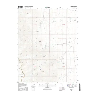
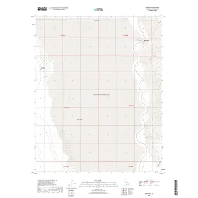
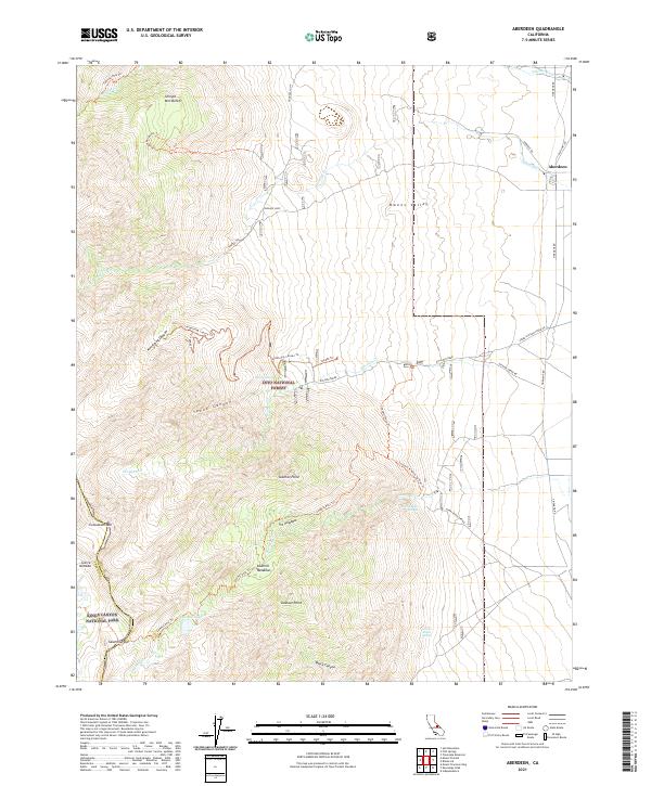
1985 Aberdeen
Inyo County, CA
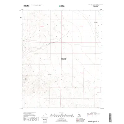
1985 Anvil Spring Canyon East
Inyo County, CA
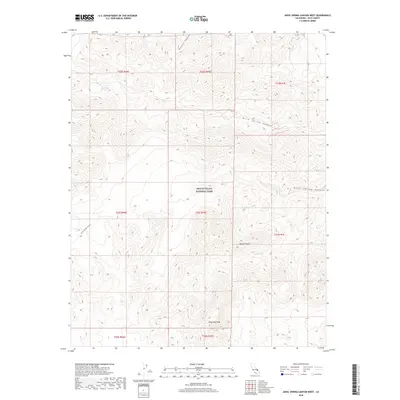
1985 Anvil Spring Canyon West
Inyo County, CA
1985 Blackwater Mine
Inyo County, CA
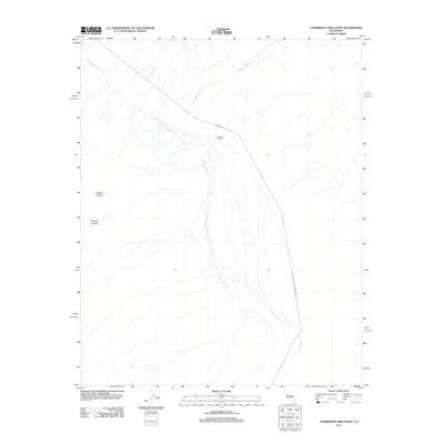
1985 Confidence Hills West
Inyo County, CA
1985 Darwin Hills
Inyo County, CA
1985 Ibex Spring
Inyo County, CA
1985 Kearsarge Peak
Inyo County, CA
1985 Last Chance Range
Inyo County, CA
1985 Saline Valley
Inyo County, CA
1985 Salsberry Peak
Inyo County, CA
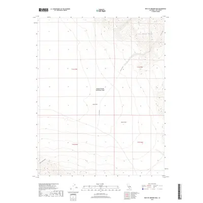
1985 West of Shenandoah Peak
Inyo County, CA
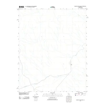
1985 Wingate Wash East
Inyo County, CA
1985 Wingate Wash West
Inyo County, CA
1986 Badwater
Inyo County, CA
1986 Death Valley Junction
Inyo County, CA
1986 Dry Bone Canyon
Inyo County, CA
1986 Emigrant Canyon
Inyo County, CA
1986 Fall Canyon
Inyo County, CA
1986 Harris Hill
Inyo County, CA
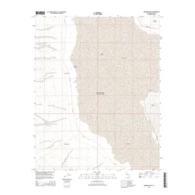
1986 Mormon Point
Inyo County, CA
1986 Nova Canyon
Inyo County, CA
1986 Panamint Butte
Inyo County, CA
1986 Panamint Springs
Inyo County, CA
1986 The Dunes
Inyo County, CA
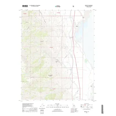
1987 Bartlett
Inyo County, CA
1987 Blanco Mountain
Inyo County, CA
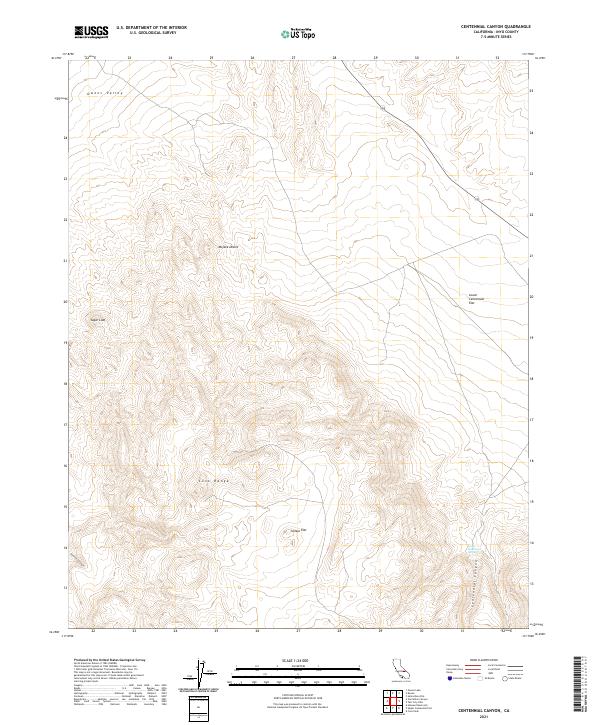
1987 Centennial Canyon
Inyo County, CA
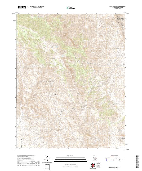
1987 Cerro Gordo Peak
Inyo County, CA
1987 Cottonwood Canyon
Inyo County, CA
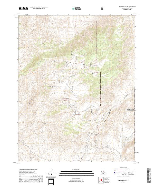
1987 Cowhorn Valley
Inyo County, CA
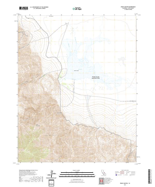
1987 Craig Canyon
Inyo County, CA
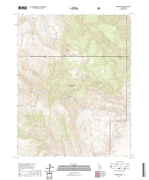
1987 Crooked Creek
Inyo County, CA
1987 Deadman Pass
Inyo County, CA
1987 Death Valley Junction
Inyo County, CA
1987 Deep Springs Lake
Inyo County, CA

1987 Dolomite
Inyo County, CA
1987 Dry Mountain
Inyo County, CA
1987 East of Deadman Pass
Inyo County, CA
1987 East of Echo Canyon
Inyo County, CA
1987 East of Joshua Flats
Inyo County, CA
1987 East of Sand Flat
Inyo County, CA
1987 East of Waucoba Canyon
Inyo County, CA
1987 East of Waucoba Spring
Inyo County, CA
1987 Franklin Well
Inyo County, CA
1987 Funeral Peak
Inyo County, CA
1987 Galena Canyon
Inyo County, CA
1987 Greenwater Canyon
Inyo County, CA
1987 Haiwee Pass
Inyo County, CA
1987 Hanaupah Canyon
Inyo County, CA
1987 Hanging Rock Canyon
Inyo County, CA
1987 Horse Thief Canyon
Inyo County, CA
1987 Joshua Flats
Inyo County, CA
1987 Last Chance Mtn.
Inyo County, CA
1987 Last Chance Range SE
Inyo County, CA
1987 Last Chance Range SW
Inyo County, CA
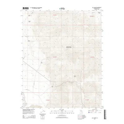
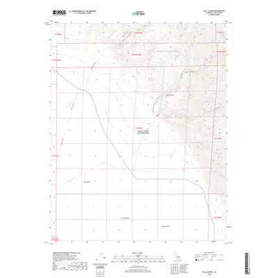
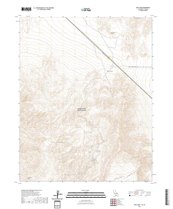
1987 Lees Camp
Inyo County, CA
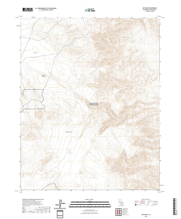
1987 Lee Wash
Inyo County, CA
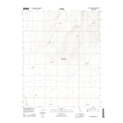
1987 Lower Warm Springs
Inyo County, CA
1987 Nelson Range
Inyo County, CA
1987 New York Butte
Inyo County, CA
1987 Owens Lake
Inyo County, CA
1987 Pat Keyes Canyon
Inyo County, CA
1987 Saline Peak
Inyo County, CA
1987 Sand Flat
Inyo County, CA
1987 Sand Spring
Inyo County, CA
1987 Santa Rosa Flat
Inyo County, CA
1987 Soldier Pass
Inyo County, CA
1987 Sylvania Canyon
Inyo County, CA

1987 Talc City Hills
Inyo County, CA
1987 Teakettle Junction
Inyo County, CA
1987 Tinemaha Reservoir
Inyo County, CA
1987 Tucki Wash
Inyo County, CA
1987 Ubehebe Peak
Inyo County, CA
1987 Uhlmeyer Spring
Inyo County, CA
1987 Vermillion Canyon
Inyo County, CA
1987 Waucoba Canyon
Inyo County, CA
1987 Waucoba Mtn
Inyo County, CA
1987 Waucoba Spring
Inyo County, CA
1987 Westgard Pass
Inyo County, CA
1987 West of Teakettle Junction
Inyo County, CA
1987 West of Ubehebe Peak
Inyo County, CA
1988 Ballarat
Inyo County, CA
1988 Beatty Junction
Inyo County, CA
1988 Chloride City
Inyo County, CA
1988 Dantes View
Inyo County, CA
1988 Daylight Pass
Inyo County, CA
1988 Devils Golf Course
Inyo County, CA
1988 Devils Speedway
Inyo County, CA
1988 Eagle Mtn.
Inyo County, CA
1988 East of Chloride City
Inyo County, CA
1988 East of Ryan
Inyo County, CA
1988 East of Tin Mountain
Inyo County, CA
1988 Echo Canyon
Inyo County, CA
1988 Emigrant Pass
Inyo County, CA
1988 Gold Valley
Inyo County, CA
1988 Grotto Canyon
Inyo County, CA
1988 Jackass Canyon
Inyo County, CA
1988 Jail Canyon
Inyo County, CA
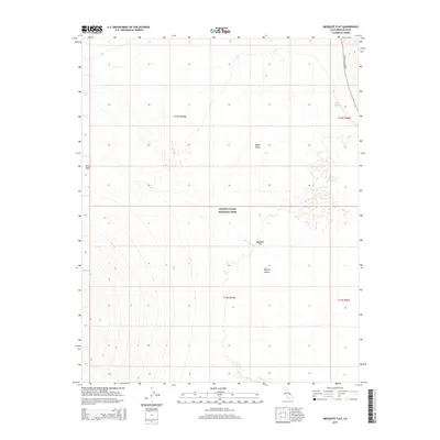
1988 Mesquite Flat
Inyo County, CA
1988 Nevares Peak
Inyo County, CA
1988 Panamint
Inyo County, CA
1988 Ryan
Inyo County, CA
1988 Scottys Castle
Inyo County, CA
1988 Stovepipe Wells
Inyo County, CA
1988 Stovepipe Wells NE
Inyo County, CA
1988 Telescope Peak
Inyo County, CA
1988 Thimble Peak
Inyo County, CA
1988 Tin Mountain
Inyo County, CA
1988 Ubehebe Crater
Inyo County, CA
1988 West of Eagle Mtn
Inyo County, CA
1988 West of Furnace Creek
Inyo County, CA
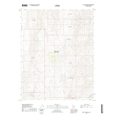
1988 White Top Mtn
Inyo County, CA
1988 Wildrose Peak
Inyo County, CA
1990 Split Mtn
Inyo County, CA
1990 Tinemaha Reservoir
Inyo County, CA
1990 Tungsten Hills
Inyo County, CA
1990 Uhlmeyer Spring
Inyo County, CA
1990 Waucoba Mtn
Inyo County, CA
1990 Westgard Pass
Inyo County, CA
1992 Bee Springs Canyon
Inyo County, CA
1992 Blackrock
Inyo County, CA
1992 Kearsarge Peak
Inyo County, CA
1993 Manzanar
Inyo County, CA
1993 Mt. Langley
Inyo County, CA
1993 Mt. Williamson
Inyo County, CA
1993 Union Wash
Inyo County, CA
1994 Aberdeen
Inyo County, CA
1994 Bartlett
Inyo County, CA
1994 Bee Springs Canyon
Inyo County, CA
1994 Blackrock
Inyo County, CA
1994 Blanco Mountain
Inyo County, CA
1994 Coso Junction
Inyo County, CA
1994 Cowhorn Valley
Inyo County, CA
1994 Coyote Flat
Inyo County, CA
1994 Crooked Creek
Inyo County, CA
1994 Deep Springs Lake
Inyo County, CA
1994 Fish Slough
Inyo County, CA
1994 Fish Springs
Inyo County, CA
1994 Haiwee Pass
Inyo County, CA
1994 Haiwee Reservoirs
Inyo County, CA
1994 Joshua Flats
Inyo County, CA
1994 Kearsarge Peak
Inyo County, CA
1994 Laws
Inyo County, CA
1994 Manzanar
Inyo County, CA
1994 Mazourka Peak
Inyo County, CA
1994 Mount Tom
Inyo County, CA
1994 Mt. Langley
Inyo County, CA
1994 Mt. Morgan
Inyo County, CA
1994 Mt. Thompson
Inyo County, CA
1994 Mt. Williamson
Inyo County, CA
1994 Pat Keyes Canyon
Inyo County, CA
1994 Poleta Canyon
Inyo County, CA
1994 Rovana
Inyo County, CA
1994 Split Mtn
Inyo County, CA
1994 Tinemaha Reservoir
Inyo County, CA
1994 Tungsten Hills
Inyo County, CA
1994 Uhlmeyer Spring
Inyo County, CA
1994 Waucoba Canyon
Inyo County, CA
1994 Waucoba Mtn
Inyo County, CA
1994 Waucoba Spring
Inyo County, CA
1994 Westgard Pass
Inyo County, CA
1998 Telescope Peak
Inyo County, CA
2012 Aberdeen
Inyo County, CA
2012 Airport Lake
Inyo County, CA
2012 Anvil Spring Canyon East
Inyo County, CA
2012 Anvil Spring Canyon West
Inyo County, CA
2012 Badwater
Inyo County, CA
2012 Ballarat
Inyo County, CA
2012 Bartlett
Inyo County, CA
2012 Beatty Junction
Inyo County, CA
2012 Bee Springs Canyon
Inyo County, CA
2012 Blackrock
Inyo County, CA
2012 Blackwater Mine
Inyo County, CA
2012 Blanco Mountain
Inyo County, CA
2012 Burro Canyon
Inyo County, CA
2012 Cactus Peak
Inyo County, CA
2012 Calvada Springs
Inyo County, CA
2012 Centennial Canyon
Inyo County, CA
2012 Cerro Gordo Peak
Inyo County, CA
2012 China Gardens Spring
Inyo County, CA
2012 Chloride City
Inyo County, CA
2012 Confidence Hills East
Inyo County, CA
2012 Confidence Hills West
Inyo County, CA
2012 Copper Queen Canyon
Inyo County, CA
2012 Coso Junction
Inyo County, CA
2012 Coso Peak
Inyo County, CA
2012 Cottonwood Canyon
Inyo County, CA
2012 Cowhorn Valley
Inyo County, CA
2012 Coyote Flat
Inyo County, CA
2012 Craig Canyon
Inyo County, CA
2012 Crooked Creek
Inyo County, CA
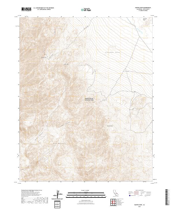
2012 Dantes View
Inyo County, CA
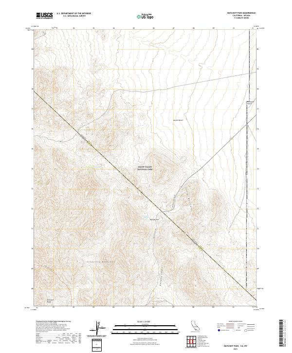
2012 Daylight Pass
Inyo County, CA
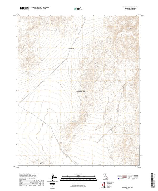
2012 Deadman Pass
Inyo County, CA
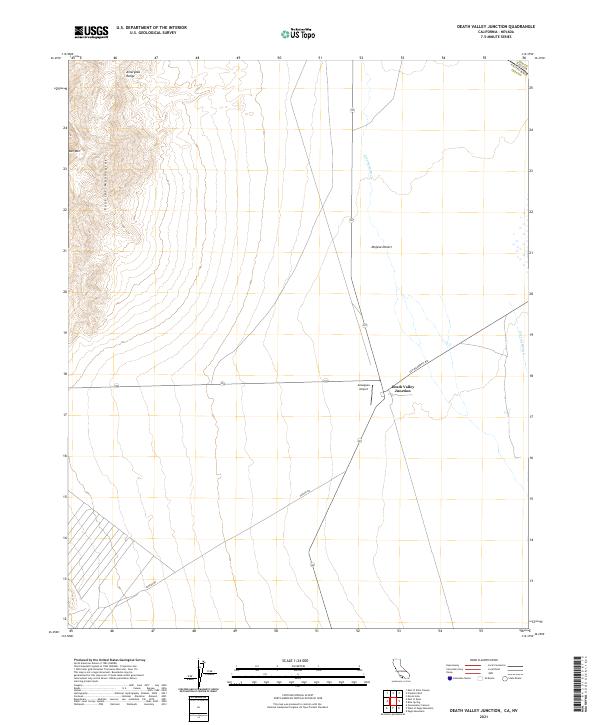
2012 Death Valley Junction
Inyo County, CA
2012 Deep Springs Lake
Inyo County, CA
2012 Devils Golf Course
Inyo County, CA
2012 Devils Speedway
Inyo County, CA
2012 Dolomite
Inyo County, CA
2012 Dry Bone Canyon
Inyo County, CA
2012 Dry Mountain
Inyo County, CA
2012 Eagle Mountain
Inyo County, CA
2012 East of Chloride City
Inyo County, CA
2012 East of Deadman Pass
Inyo County, CA
2012 East of Echo Canyon
Inyo County, CA
2012 East of Joshua Flats
Inyo County, CA
2012 East of Ryan
Inyo County, CA
2012 East of Sand Flat
Inyo County, CA
2012 East of Tin Mountain
Inyo County, CA
2012 East of Waucoba Canyon
Inyo County, CA
2012 East of Waucoba Spring
Inyo County, CA
2012 Echo Canyon
Inyo County, CA
2012 Emigrant Canyon
Inyo County, CA
2012 Emigrant Pass
Inyo County, CA
2012 Epaulet Peak
Inyo County, CA
2012 Fall Canyon
Inyo County, CA
2012 Fish Slough
Inyo County, CA

2012 Fish Springs
Inyo County, CA
2012 Franklin Well
Inyo County, CA
2012 Funeral Peak
Inyo County, CA
2012 Galena Canyon
Inyo County, CA
2012 Gold Valley
Inyo County, CA
2012 Greenwater Canyon
Inyo County, CA
2012 Grotto Canyon
Inyo County, CA
2012 Haiwee Pass
Inyo County, CA
2012 Haiwee Reservoirs
Inyo County, CA
2012 Hanaupah Canyon
Inyo County, CA
2012 Hanging Rock Canyon
Inyo County, CA
2012 Harris Hill
Inyo County, CA
2012 Horse Thief Canyon
Inyo County, CA
2012 Horse Thief Springs
Inyo County, CA
2012 Ibex Pass
Inyo County, CA
2012 Ibex Spring
Inyo County, CA
2012 Jackass Canyon
Inyo County, CA
2012 Jail Canyon
Inyo County, CA
2012 Joshua Flats
Inyo County, CA
2012 Kearsarge Peak
Inyo County, CA
2012 Last Chance Mountain
Inyo County, CA
2012 Last Chance Range SE
Inyo County, CA
2012 Last Chance Range SW
Inyo County, CA
2012 Laws
Inyo County, CA
2012 Lees Camp
Inyo County, CA
2012 Lee Wash
Inyo County, CA
2012 Little Lake
Inyo County, CA
2012 Louisiana Butte
Inyo County, CA
2012 Lower Warm Springs
Inyo County, CA
2012 Manly Fall
Inyo County, CA
2012 Manly Peak
Inyo County, CA
2012 Manzanar
Inyo County, CA
2012 Maturango Peak
Inyo County, CA
2012 Maturango Peak NE
Inyo County, CA
2012 Maturango Peak SE
Inyo County, CA
2012 Mazourka Peak
Inyo County, CA
2012 Mesquite Flat
Inyo County, CA
2012 Mormon Point
Inyo County, CA
2012 Mountain Springs Canyon
Inyo County, CA
2012 Mount Langley
Inyo County, CA
2012 Mount Morgan
Inyo County, CA
2012 Mount Thompson
Inyo County, CA
2012 Mount Tom
Inyo County, CA
2012 Mount Williamson
Inyo County, CA
2012 Nelson Range
Inyo County, CA
2012 Nevares Peak
Inyo County, CA
2012 New York Butte
Inyo County, CA
2012 Ninemile Canyon
Inyo County, CA
2012 Nopah Peak
Inyo County, CA
2012 North of Tecopa Pass
Inyo County, CA
2012 Nova Canyon
Inyo County, CA
2012 Owens Lake
Inyo County, CA
2012 Panamint Butte
Inyo County, CA
2012 Panamint
Inyo County, CA
2012 Panamint Springs
Inyo County, CA
2012 Pat Keyes Canyon
Inyo County, CA
2012 Petroglyph Canyon
Inyo County, CA
2012 Poleta Canyon
Inyo County, CA
2012 Resting Spring
Inyo County, CA
2012 Revenue Canyon
Inyo County, CA
2012 Rovana
Inyo County, CA
2012 Ryan
Inyo County, CA
2012 Saline Peak
Inyo County, CA
2012 Salsberry Peak
Inyo County, CA
2012 Sand Flat
Inyo County, CA
2012 Sand Spring
Inyo County, CA
2012 Santa Rosa Flat
Inyo County, CA
2012 Scottys Castle
Inyo County, CA
2012 Shore Line Butte
Inyo County, CA
2012 Slate Range Crossing
Inyo County, CA
2012 Soldier Pass
Inyo County, CA
2012 Sourdough Spring
Inyo County, CA
2012 Split Mountain
Inyo County, CA
2012 Stewart Valley
Inyo County, CA
2012 Stovepipe Wells
Inyo County, CA
2012 Stovepipe Wells NE
Inyo County, CA
2012 Sylvania Canyon
Inyo County, CA
2012 Talc City Hills
Inyo County, CA

2012 Teakettle Junction
Inyo County, CA
2012 Tecopa Pass
Inyo County, CA
2012 Telescope Peak
Inyo County, CA
2012 The Dunes
Inyo County, CA
2012 Thimble Peak
Inyo County, CA
2012 Tinemaha Reservoir
Inyo County, CA
2012 Tin Mountain
Inyo County, CA
2012 Trona East
Inyo County, CA
2012 Trona West
Inyo County, CA
2012 Tucki Wash
Inyo County, CA
2012 Tungsten Hills
Inyo County, CA
2012 Twelvemile Spring
Inyo County, CA
2012 Ubehebe Crater
Inyo County, CA
2012 Ubehebe Peak
Inyo County, CA
2012 Uhlmeyer Spring
Inyo County, CA
2012 Union Wash
Inyo County, CA
2012 Upper Centennial Flat
Inyo County, CA
2012 Vermillion Canyon
Inyo County, CA
2012 Volcano Peak
Inyo County, CA
2012 Waucoba Canyon
Inyo County, CA
2012 Waucoba Mountain
Inyo County, CA
2012 Waucoba Spring
Inyo County, CA
2012 Westgard Pass
Inyo County, CA
2012 West of Eagle Mountain
Inyo County, CA
2012 West of Furnace Creek
Inyo County, CA
2012 West of Shenandoah Peak
Inyo County, CA
2012 West of Teakettle Junction
Inyo County, CA
2012 West of Ubehebe Peak
Inyo County, CA
2012 White Hills
Inyo County, CA
2012 White Top Mountain
Inyo County, CA
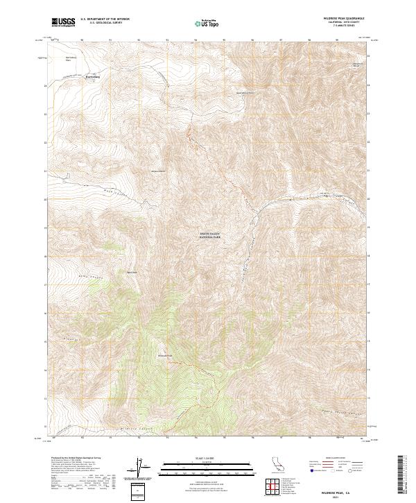
2012 Wildrose Peak
Inyo County, CA
2012 Wingate Wash East
Inyo County, CA
2012 Wingate Wash West
Inyo County, CA
2015 Aberdeen
Inyo County, CA
2015 Airport Lake
Inyo County, CA
2015 Anvil Spring Canyon East
Inyo County, CA
2015 Anvil Spring Canyon West
Inyo County, CA
2015 Badwater
Inyo County, CA
2015 Ballarat
Inyo County, CA
2015 Bartlett
Inyo County, CA
2015 Beatty Junction
Inyo County, CA
2015 Bee Springs Canyon
Inyo County, CA
2015 Blackrock
Inyo County, CA
2015 Blackwater Mine
Inyo County, CA
2015 Blanco Mountain
Inyo County, CA
2015 Burro Canyon
Inyo County, CA
2015 Cactus Peak
Inyo County, CA
2015 Calvada Springs
Inyo County, CA
2015 Centennial Canyon
Inyo County, CA
2015 Cerro Gordo Peak
Inyo County, CA
2015 China Gardens Spring
Inyo County, CA
2015 Chloride City
Inyo County, CA
2015 Confidence Hills East
Inyo County, CA
2015 Confidence Hills West
Inyo County, CA
2015 Copper Queen Canyon
Inyo County, CA
2015 Coso Junction
Inyo County, CA
2015 Coso Peak
Inyo County, CA
2015 Cottonwood Canyon
Inyo County, CA
2015 Cowhorn Valley
Inyo County, CA
2015 Coyote Flat
Inyo County, CA
2015 Craig Canyon
Inyo County, CA
2015 Crooked Creek
Inyo County, CA
2015 Dantes View
Inyo County, CA
2015 Daylight Pass
Inyo County, CA
2015 Deadman Pass
Inyo County, CA

2015 Death Valley Junction
Inyo County, CA
2015 Deep Springs Lake
Inyo County, CA
2015 Devils Golf Course
Inyo County, CA
2015 Devils Speedway
Inyo County, CA

2015 Dolomite
Inyo County, CA
2015 Dry Bone Canyon
Inyo County, CA
2015 Dry Mountain
Inyo County, CA
2015 Eagle Mountain
Inyo County, CA
2015 East of Chloride City
Inyo County, CA
2015 East of Deadman Pass
Inyo County, CA
2015 East of Echo Canyon
Inyo County, CA
2015 East of Joshua Flats
Inyo County, CA
2015 East of Ryan
Inyo County, CA
2015 East of Sand Flat
Inyo County, CA
2015 East of Tin Mountain
Inyo County, CA
2015 East of Waucoba Canyon
Inyo County, CA
2015 East of Waucoba Spring
Inyo County, CA
2015 Echo Canyon
Inyo County, CA
2015 Emigrant Canyon
Inyo County, CA
2015 Emigrant Pass
Inyo County, CA
2015 Epaulet Peak
Inyo County, CA
2015 Fall Canyon
Inyo County, CA
2015 Fish Slough
Inyo County, CA
2015 Fish Springs
Inyo County, CA
2015 Franklin Well
Inyo County, CA
2015 Funeral Peak
Inyo County, CA
2015 Galena Canyon
Inyo County, CA
2015 Gold Valley
Inyo County, CA
2015 Greenwater Canyon
Inyo County, CA
2015 Grotto Canyon
Inyo County, CA
2015 Haiwee Pass
Inyo County, CA
2015 Haiwee Reservoirs
Inyo County, CA
2015 Hanaupah Canyon
Inyo County, CA
2015 Hanging Rock Canyon
Inyo County, CA
2015 Harris Hill
Inyo County, CA
2015 Horse Thief Canyon
Inyo County, CA
2015 Horse Thief Springs
Inyo County, CA
2015 Ibex Pass
Inyo County, CA
2015 Ibex Spring
Inyo County, CA

2015 Jackass Canyon
Inyo County, CA
2015 Jail Canyon
Inyo County, CA
2015 Joshua Flats
Inyo County, CA
2015 Kearsarge Peak
Inyo County, CA
2015 Last Chance Mountain
Inyo County, CA
2015 Last Chance Range SE
Inyo County, CA
2015 Last Chance Range SW
Inyo County, CA
2015 Laws
Inyo County, CA
2015 Lees Camp
Inyo County, CA

2015 Lee Wash
Inyo County, CA
2015 Little Lake
Inyo County, CA
2015 Louisiana Butte
Inyo County, CA
2015 Lower Warm Springs
Inyo County, CA
2015 Manly Fall
Inyo County, CA
2015 Manly Peak
Inyo County, CA
2015 Manzanar
Inyo County, CA
2015 Maturango Peak
Inyo County, CA
2015 Maturango Peak NE
Inyo County, CA
2015 Maturango Peak SE
Inyo County, CA
2015 Mazourka Peak
Inyo County, CA
2015 Mesquite Flat
Inyo County, CA
2015 Mormon Point
Inyo County, CA
2015 Mountain Springs Canyon
Inyo County, CA
2015 Mount Langley
Inyo County, CA
2015 Mount Morgan
Inyo County, CA
2015 Mount Thompson
Inyo County, CA
2015 Mount Tom
Inyo County, CA
2015 Mount Williamson
Inyo County, CA
2015 Nelson Range
Inyo County, CA
2015 Nevares Peak
Inyo County, CA
2015 New York Butte
Inyo County, CA
2015 Ninemile Canyon
Inyo County, CA
2015 Nopah Peak
Inyo County, CA
2015 North of Tecopa Pass
Inyo County, CA
2015 Nova Canyon
Inyo County, CA
2015 Owens Lake
Inyo County, CA
2015 Panamint Butte
Inyo County, CA
2015 Panamint
Inyo County, CA
2015 Panamint Springs
Inyo County, CA
2015 Pat Keyes Canyon
Inyo County, CA
2015 Petroglyph Canyon
Inyo County, CA
2015 Poleta Canyon
Inyo County, CA
2015 Resting Spring
Inyo County, CA
2015 Revenue Canyon
Inyo County, CA
2015 Rovana
Inyo County, CA
2015 Ryan
Inyo County, CA
2015 Saline Peak
Inyo County, CA
2015 Salsberry Peak
Inyo County, CA
2015 Sand Flat
Inyo County, CA
2015 Sand Spring
Inyo County, CA
2015 Santa Rosa Flat
Inyo County, CA
2015 Scottys Castle
Inyo County, CA
2015 Shore Line Butte
Inyo County, CA
2015 Slate Range Crossing
Inyo County, CA
2015 Soldier Pass
Inyo County, CA
2015 Sourdough Spring
Inyo County, CA
2015 Split Mountain
Inyo County, CA
2015 Stewart Valley
Inyo County, CA
2015 Stovepipe Wells
Inyo County, CA
2015 Stovepipe Wells NE
Inyo County, CA
2015 Sylvania Canyon
Inyo County, CA
2015 Talc City Hills
Inyo County, CA
2015 Teakettle Junction
Inyo County, CA
2015 Tecopa Pass
Inyo County, CA
2015 Telescope Peak
Inyo County, CA
2015 The Dunes
Inyo County, CA
2015 Thimble Peak
Inyo County, CA
2015 Tinemaha Reservoir
Inyo County, CA
2015 Tin Mountain
Inyo County, CA
2015 Trona East
Inyo County, CA
2015 Trona West
Inyo County, CA
2015 Tucki Wash
Inyo County, CA
2015 Tungsten Hills
Inyo County, CA
2015 Twelvemile Spring
Inyo County, CA
2015 Ubehebe Crater
Inyo County, CA
2015 Ubehebe Peak
Inyo County, CA
2015 Uhlmeyer Spring
Inyo County, CA
2015 Union Wash
Inyo County, CA
2015 Upper Centennial Flat
Inyo County, CA
2015 Vermillion Canyon
Inyo County, CA
2015 Volcano Peak
Inyo County, CA
2015 Waucoba Canyon
Inyo County, CA
2015 Waucoba Mountain
Inyo County, CA
2015 Waucoba Spring
Inyo County, CA

2015 Westgard Pass
Inyo County, CA
2015 West of Eagle Mountain
Inyo County, CA
2015 West of Furnace Creek
Inyo County, CA
2015 West of Shenandoah Peak
Inyo County, CA
2015 West of Teakettle Junction
Inyo County, CA
2015 West of Ubehebe Peak
Inyo County, CA
2015 White Hills
Inyo County, CA
2015 White Top Mountain
Inyo County, CA
2015 Wildrose Peak
Inyo County, CA
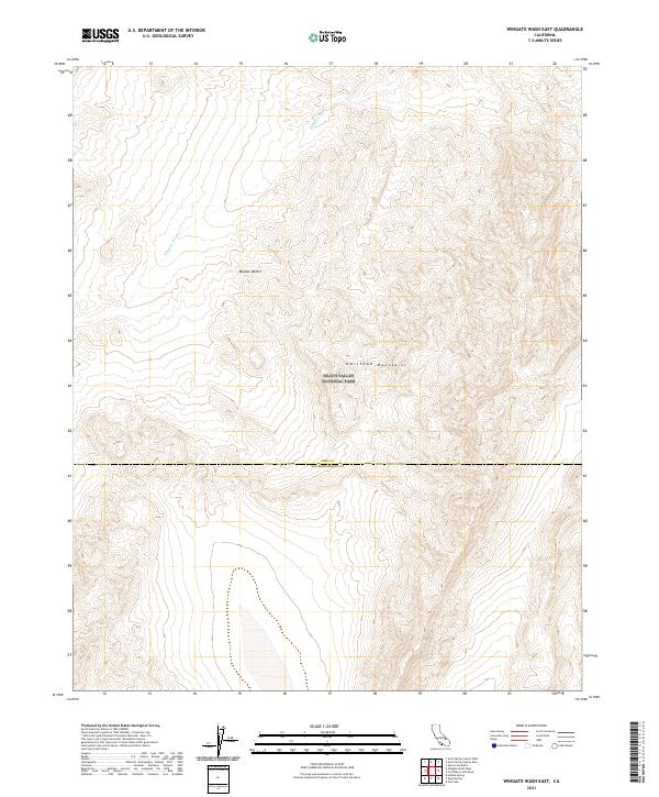
2015 Wingate Wash East
Inyo County, CA
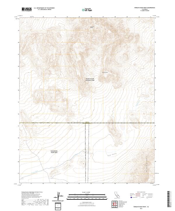
2015 Wingate Wash West
Inyo County, CA
2018 Aberdeen
Inyo County, CA
2018 Airport Lake
Inyo County, CA
2018 Anvil Spring Canyon East
Inyo County, CA
2018 Anvil Spring Canyon West
Inyo County, CA
2018 Badwater
Inyo County, CA
2018 Ballarat
Inyo County, CA
2018 Bartlett
Inyo County, CA
2018 Beatty Junction
Inyo County, CA
2018 Bee Springs Canyon
Inyo County, CA
2018 Blackrock
Inyo County, CA
2018 Blackwater Mine
Inyo County, CA
2018 Blanco Mountain
Inyo County, CA
2018 Burro Canyon
Inyo County, CA
2018 Cactus Peak
Inyo County, CA
2018 Calvada Springs
Inyo County, CA
2018 Centennial Canyon
Inyo County, CA
2018 Cerro Gordo Peak
Inyo County, CA
2018 China Gardens Spring
Inyo County, CA
2018 Chloride City
Inyo County, CA
2018 Confidence Hills East
Inyo County, CA
2018 Confidence Hills West
Inyo County, CA

2018 Copper Queen Canyon
Inyo County, CA
2018 Coso Junction
Inyo County, CA
2018 Coso Peak
Inyo County, CA
2018 Cottonwood Canyon
Inyo County, CA
2018 Cowhorn Valley
Inyo County, CA
2018 Coyote Flat
Inyo County, CA
2018 Craig Canyon
Inyo County, CA
2018 Crooked Creek
Inyo County, CA
2018 Dantes View
Inyo County, CA
2018 Daylight Pass
Inyo County, CA
2018 Deadman Pass
Inyo County, CA
2018 Death Valley Junction
Inyo County, CA
2018 Deep Springs Lake
Inyo County, CA
2018 Devils Golf Course
Inyo County, CA
2018 Devils Speedway
Inyo County, CA
2018 Dolomite
Inyo County, CA
2018 Dry Bone Canyon
Inyo County, CA
2018 Dry Mountain
Inyo County, CA
2018 Eagle Mountain
Inyo County, CA
2018 East of Chloride City
Inyo County, CA
2018 East of Deadman Pass
Inyo County, CA
2018 East of Echo Canyon
Inyo County, CA
2018 East of Joshua Flats
Inyo County, CA
2018 East of Ryan
Inyo County, CA
2018 East of Sand Flat
Inyo County, CA
2018 East of Tin Mountain
Inyo County, CA
2018 East of Waucoba Canyon
Inyo County, CA
2018 East of Waucoba Spring
Inyo County, CA

2018 Echo Canyon
Inyo County, CA
2018 Emigrant Canyon
Inyo County, CA
2018 Emigrant Pass
Inyo County, CA
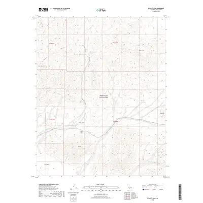
2018 Epaulet Peak
Inyo County, CA
2018 Fall Canyon
Inyo County, CA
2018 Fish Slough
Inyo County, CA
2018 Fish Springs
Inyo County, CA
2018 Franklin Well
Inyo County, CA
2018 Funeral Peak
Inyo County, CA
2018 Galena Canyon
Inyo County, CA
2018 Gold Valley
Inyo County, CA
2018 Greenwater Canyon
Inyo County, CA
2018 Grotto Canyon
Inyo County, CA
2018 Haiwee Pass
Inyo County, CA
2018 Haiwee Reservoirs
Inyo County, CA
2018 Hanaupah Canyon
Inyo County, CA
2018 Hanging Rock Canyon
Inyo County, CA
2018 Harris Hill
Inyo County, CA
2018 Horse Thief Canyon
Inyo County, CA
2018 Horse Thief Springs
Inyo County, CA
2018 Ibex Pass
Inyo County, CA
2018 Ibex Spring
Inyo County, CA
2018 Jackass Canyon
Inyo County, CA
2018 Jail Canyon
Inyo County, CA
2018 Joshua Flats
Inyo County, CA
2018 Kearsarge Peak
Inyo County, CA
2018 Last Chance Mountain
Inyo County, CA

2018 Last Chance Range SE
Inyo County, CA
2018 Last Chance Range SW
Inyo County, CA
2018 Laws
Inyo County, CA
2018 Lees Camp
Inyo County, CA
2018 Lee Wash
Inyo County, CA
2018 Little Lake
Inyo County, CA
2018 Louisiana Butte
Inyo County, CA
2018 Lower Warm Springs
Inyo County, CA
2018 Manly Fall
Inyo County, CA
2018 Manly Peak
Inyo County, CA
2018 Manzanar
Inyo County, CA

2018 Maturango Peak
Inyo County, CA
2018 Maturango Peak NE
Inyo County, CA
2018 Maturango Peak SE
Inyo County, CA
2018 Mazourka Peak
Inyo County, CA
2018 Mesquite Flat
Inyo County, CA
2018 Mormon Point
Inyo County, CA
2018 Mountain Springs Canyon
Inyo County, CA
2018 Mount Langley
Inyo County, CA
2018 Mount Morgan
Inyo County, CA
2018 Mount Thompson
Inyo County, CA
2018 Mount Tom
Inyo County, CA
2018 Mount Williamson
Inyo County, CA
2018 Nelson Range
Inyo County, CA
2018 Nevares Peak
Inyo County, CA
2018 New York Butte
Inyo County, CA
2018 Ninemile Canyon
Inyo County, CA
2018 Nopah Peak
Inyo County, CA
2018 North of Tecopa Pass
Inyo County, CA
2018 Nova Canyon
Inyo County, CA
2018 Owens Lake
Inyo County, CA
2018 Panamint Butte
Inyo County, CA
2018 Panamint
Inyo County, CA
2018 Panamint Springs
Inyo County, CA
2018 Pat Keyes Canyon
Inyo County, CA

2018 Petroglyph Canyon
Inyo County, CA
2018 Poleta Canyon
Inyo County, CA
2018 Resting Spring
Inyo County, CA
2018 Revenue Canyon
Inyo County, CA
2018 Rovana
Inyo County, CA
2018 Ryan
Inyo County, CA
2018 Saline Peak
Inyo County, CA
2018 Salsberry Peak
Inyo County, CA
2018 Sand Flat
Inyo County, CA
2018 Sand Spring
Inyo County, CA
2018 Santa Rosa Flat
Inyo County, CA

2018 Scottys Castle
Inyo County, CA
2018 Shore Line Butte
Inyo County, CA
2018 Slate Range Crossing
Inyo County, CA
2018 Soldier Pass
Inyo County, CA
2018 Sourdough Spring
Inyo County, CA
2018 Split Mountain
Inyo County, CA
2018 Stewart Valley
Inyo County, CA
2018 Stovepipe Wells
Inyo County, CA
2018 Stovepipe Wells NE
Inyo County, CA
2018 Sylvania Canyon
Inyo County, CA
2018 Talc City Hills
Inyo County, CA
2018 Teakettle Junction
Inyo County, CA
2018 Tecopa Pass
Inyo County, CA
2018 Telescope Peak
Inyo County, CA
2018 The Dunes
Inyo County, CA
2018 Thimble Peak
Inyo County, CA
2018 Tinemaha Reservoir
Inyo County, CA
2018 Tin Mountain
Inyo County, CA
2018 Trona East
Inyo County, CA
2018 Trona West
Inyo County, CA
2018 Tucki Wash
Inyo County, CA
2018 Tungsten Hills
Inyo County, CA
2018 Twelvemile Spring
Inyo County, CA
2018 Ubehebe Crater
Inyo County, CA
2018 Ubehebe Peak
Inyo County, CA
2018 Uhlmeyer Spring
Inyo County, CA
2018 Union Wash
Inyo County, CA
2018 Upper Centennial Flat
Inyo County, CA
2018 Vermillion Canyon
Inyo County, CA
2018 Volcano Peak
Inyo County, CA
2018 Waucoba Canyon
Inyo County, CA
2018 Waucoba Mountain
Inyo County, CA
2018 Waucoba Spring
Inyo County, CA
2018 Westgard Pass
Inyo County, CA
2018 West of Eagle Mountain
Inyo County, CA
2018 West of Furnace Creek
Inyo County, CA
2018 West of Shenandoah Peak
Inyo County, CA
2018 West of Teakettle Junction
Inyo County, CA
2018 West of Ubehebe Peak
Inyo County, CA
2018 White Hills
Inyo County, CA
2018 White Top Mountain
Inyo County, CA
2018 Wildrose Peak
Inyo County, CA
2018 Wingate Wash East
Inyo County, CA
2018 Wingate Wash West
Inyo County, CA
2021 Aberdeen
Inyo County, CA
2021 Airport Lake
Inyo County, CA
2021 Anvil Spring Canyon East
Inyo County, CA
2021 Anvil Spring Canyon West
Inyo County, CA
2021 Badwater
Inyo County, CA
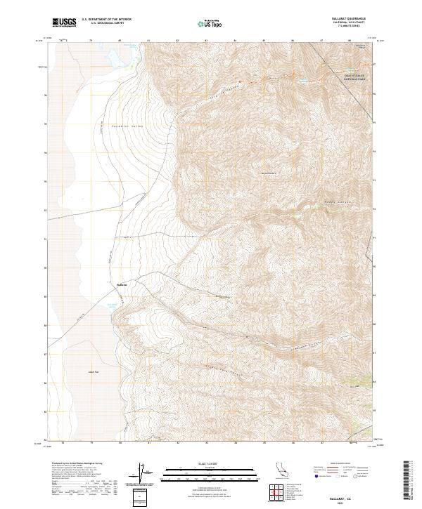
2021 Ballarat
Inyo County, CA
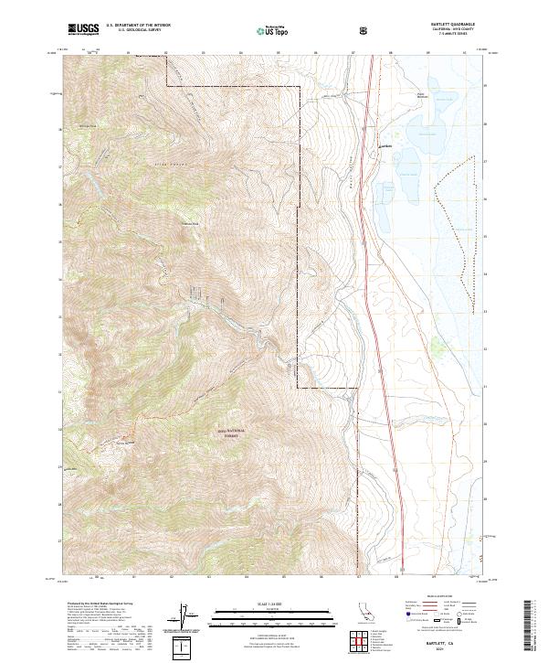
2021 Bartlett
Inyo County, CA
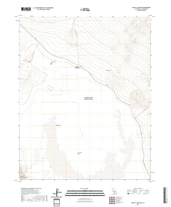
2021 Beatty Junction
Inyo County, CA
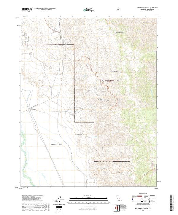
2021 Bee Springs Canyon
Inyo County, CA
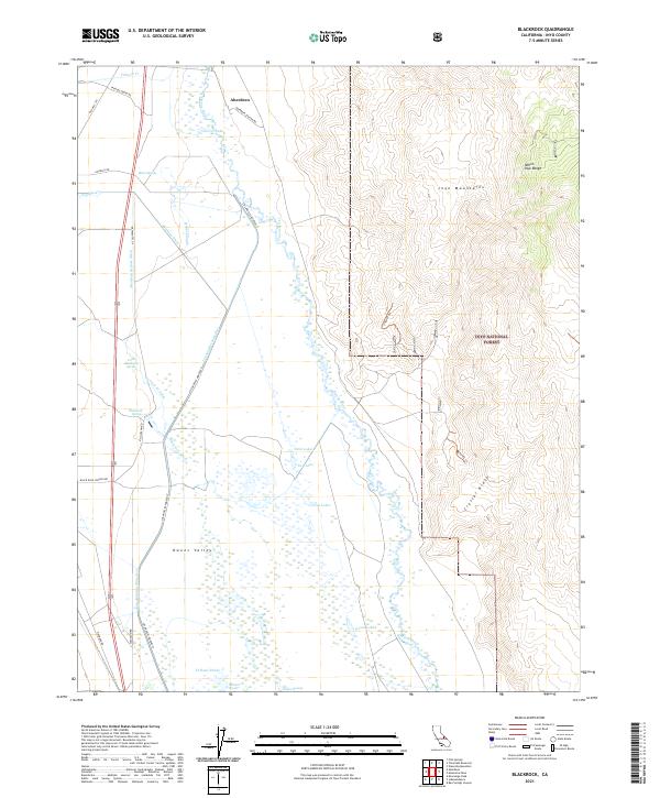
2021 Blackrock
Inyo County, CA
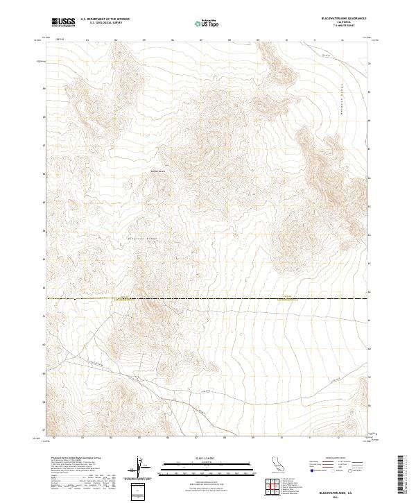
2021 Blackwater Mine
Inyo County, CA
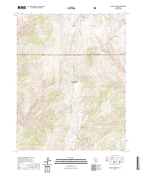
2021 Blanco Mountain
Inyo County, CA
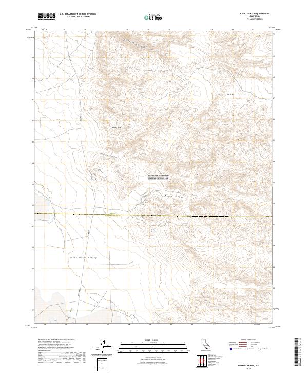
2021 Burro Canyon
Inyo County, CA
2021 Cactus Peak
Inyo County, CA
2021 Calvada Springs
Inyo County, CA
2021 Centennial Canyon
Inyo County, CA
2021 Cerro Gordo Peak
Inyo County, CA
2021 China Gardens Spring
Inyo County, CA
2021 Chloride City
Inyo County, CA
2021 Confidence Hills East
Inyo County, CA
2021 Confidence Hills West
Inyo County, CA
2021 Copper Queen Canyon
Inyo County, CA
2021 Coso Junction
Inyo County, CA
2021 Coso Peak
Inyo County, CA
2021 Cottonwood Canyon
Inyo County, CA
2021 Cowhorn Valley
Inyo County, CA
2021 Coyote Flat
Inyo County, CA
2021 Craig Canyon
Inyo County, CA
2021 Crooked Creek
Inyo County, CA
2021 Dantes View
Inyo County, CA
2021 Daylight Pass
Inyo County, CA
2021 Deadman Pass
Inyo County, CA
2021 Death Valley Junction
Inyo County, CA
2021 Deep Springs Lake
Inyo County, CA
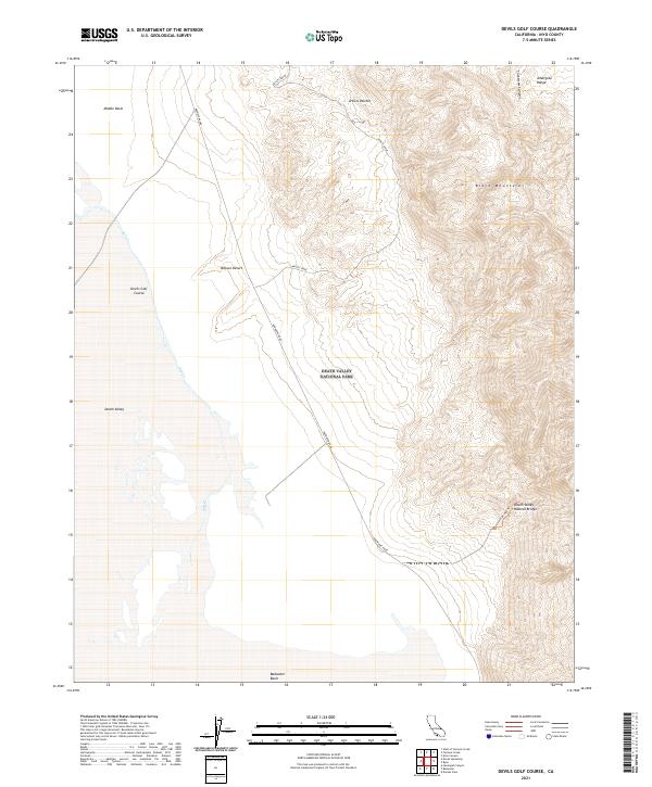
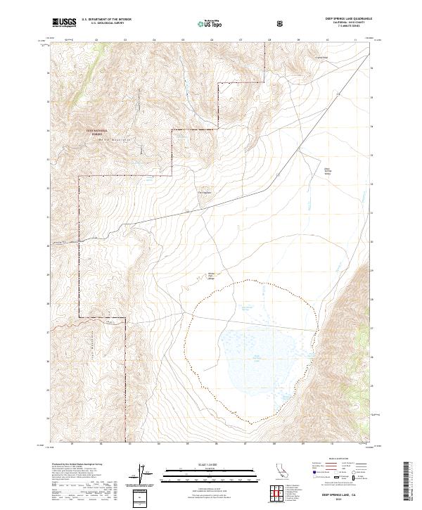
2021 Devils Golf Course
Inyo County, CA
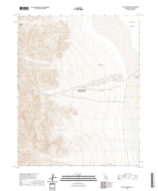
2021 Devils Speedway
Inyo County, CA
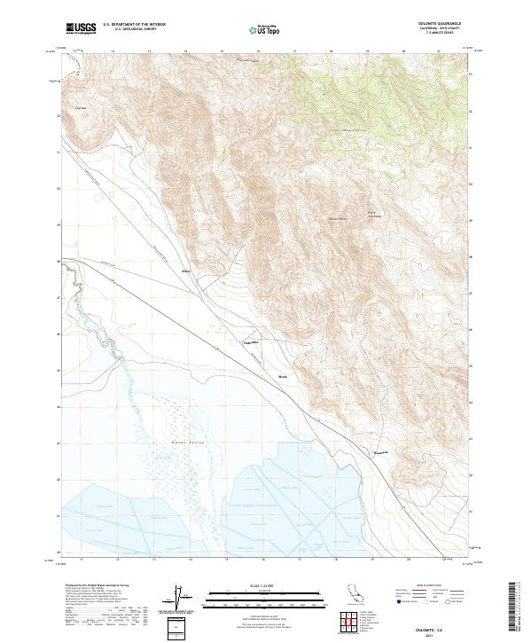
2021 Dolomite
Inyo County, CA
2021 Dry Bone Canyon
Inyo County, CA
2021 Dry Mountain
Inyo County, CA
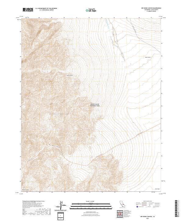
2021 Eagle Mountain
Inyo County, CA
2021 East of Chloride City
Inyo County, CA
2021 East of Deadman Pass
Inyo County, CA
2021 East of Echo Canyon
Inyo County, CA
2021 East of Joshua Flats
Inyo County, CA
2021 East of Ryan
Inyo County, CA
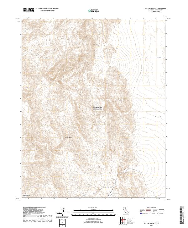
2021 East of Sand Flat
Inyo County, CA
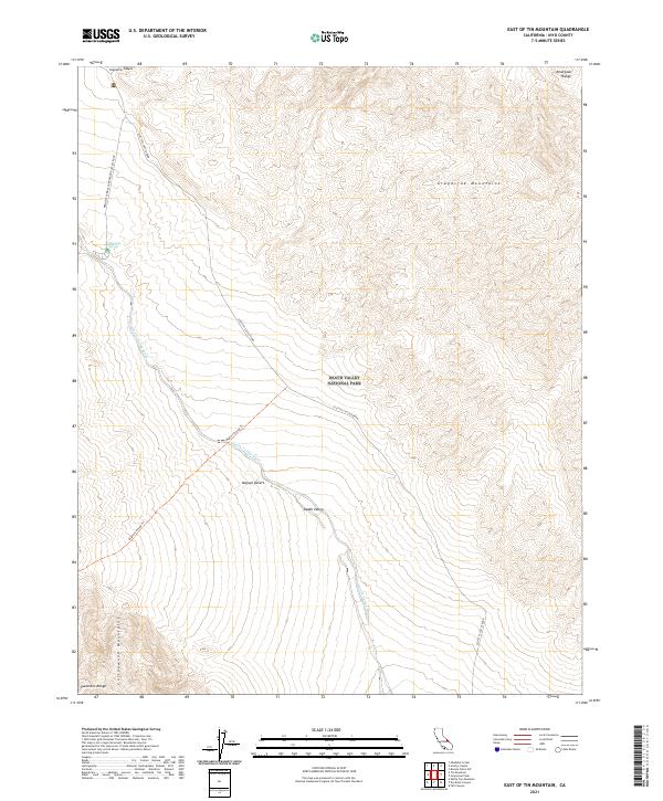
2021 East of Tin Mountain
Inyo County, CA
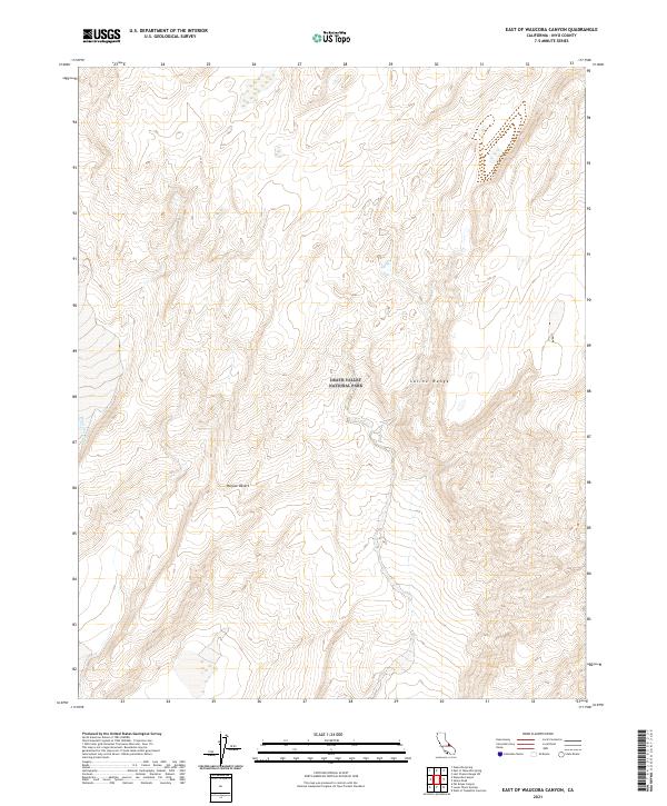
2021 East of Waucoba Canyon
Inyo County, CA
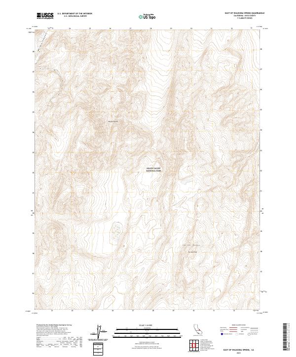
2021 East of Waucoba Spring
Inyo County, CA
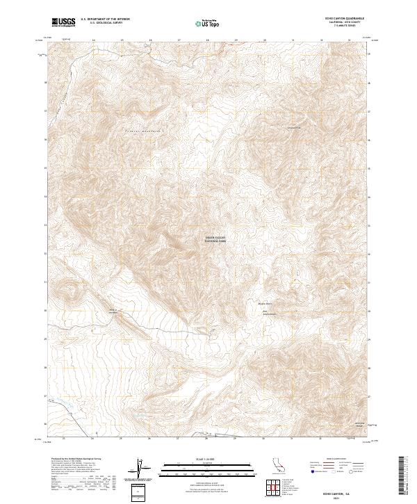
2021 Echo Canyon
Inyo County, CA
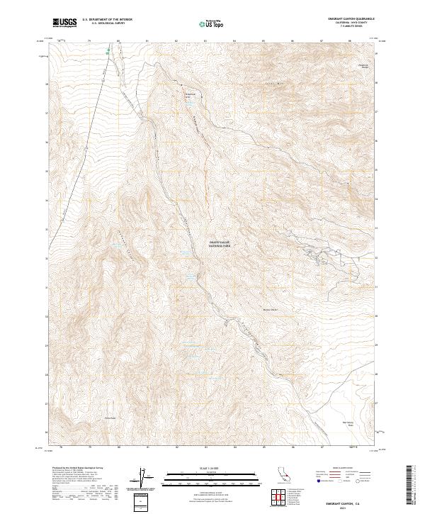
2021 Emigrant Canyon
Inyo County, CA
2021 Emigrant Pass
Inyo County, CA
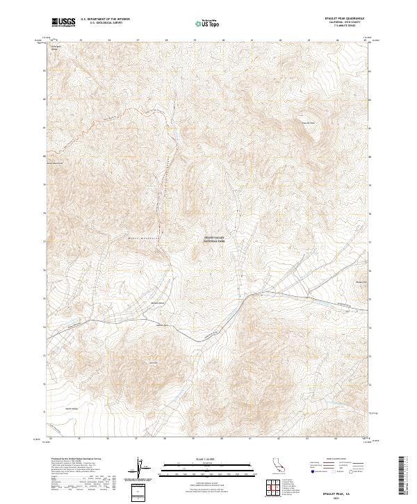
2021 Epaulet Peak
Inyo County, CA
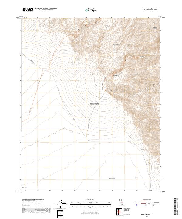
2021 Fall Canyon
Inyo County, CA
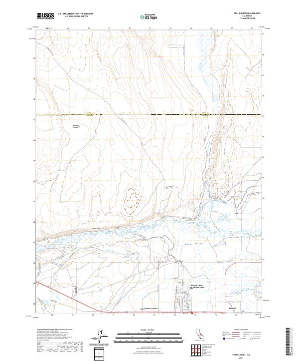
2021 Fish Slough
Inyo County, CA
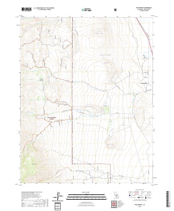
2021 Fish Springs
Inyo County, CA
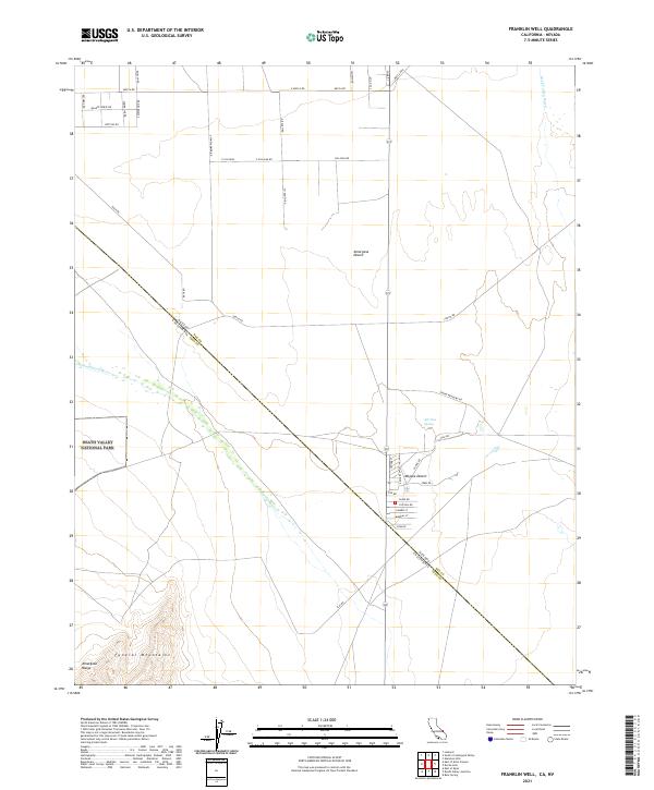
2021 Franklin Well
Inyo County, CA
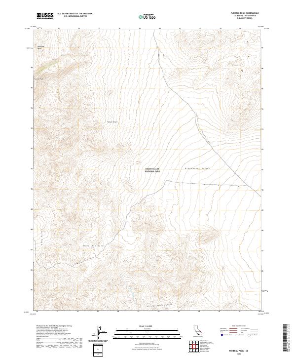
2021 Funeral Peak
Inyo County, CA
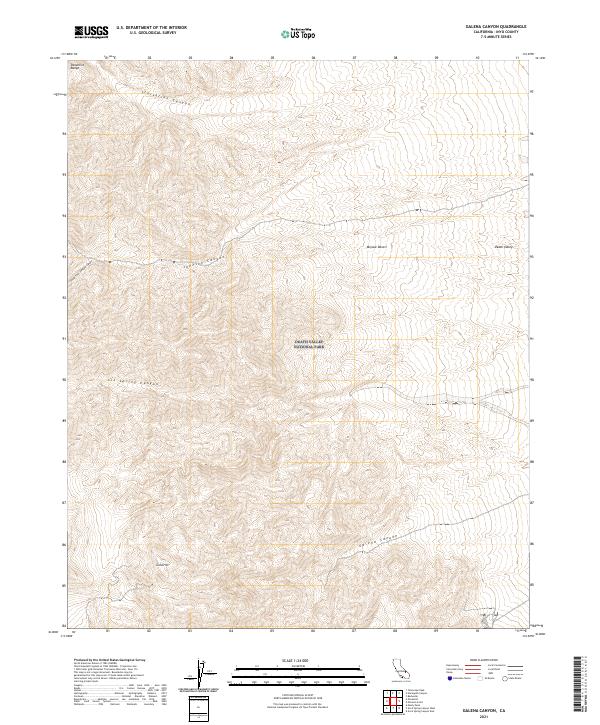
2021 Galena Canyon
Inyo County, CA
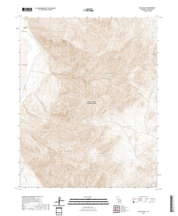
2021 Gold Valley
Inyo County, CA
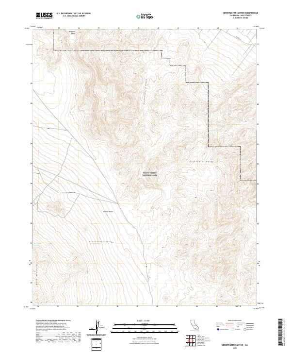
2021 Greenwater Canyon
Inyo County, CA
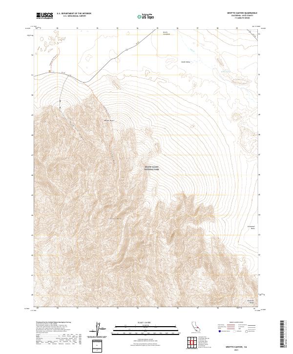
2021 Grotto Canyon
Inyo County, CA
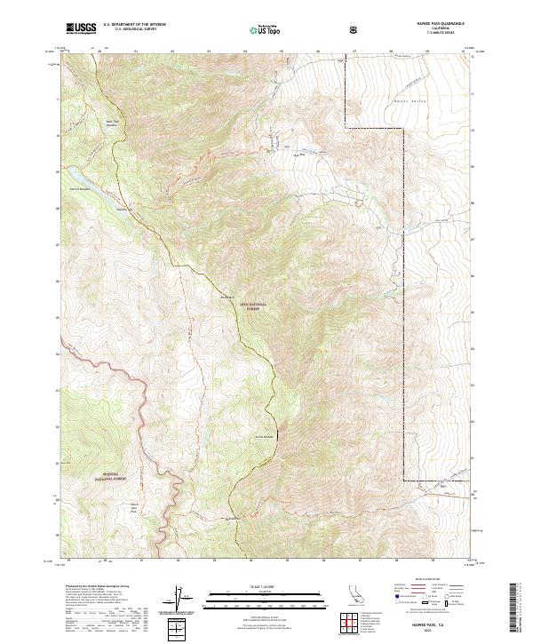
2021 Haiwee Pass
Inyo County, CA
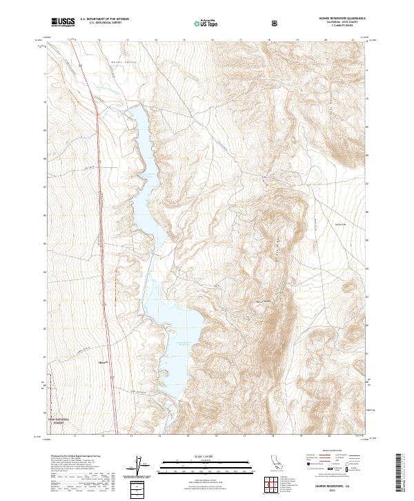
2021 Haiwee Reservoirs
Inyo County, CA
2021 Hanaupah Canyon
Inyo County, CA
2021 Hanging Rock Canyon
Inyo County, CA
2021 Harris Hill
Inyo County, CA
2021 Horse Thief Canyon
Inyo County, CA
2021 Horse Thief Springs
Inyo County, CA
2021 Ibex Pass
Inyo County, CA
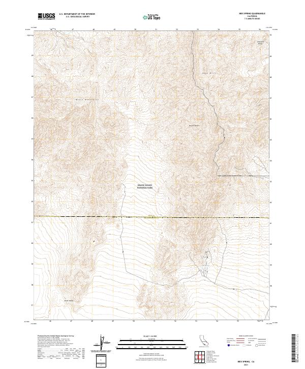
2021 Ibex Spring
Inyo County, CA
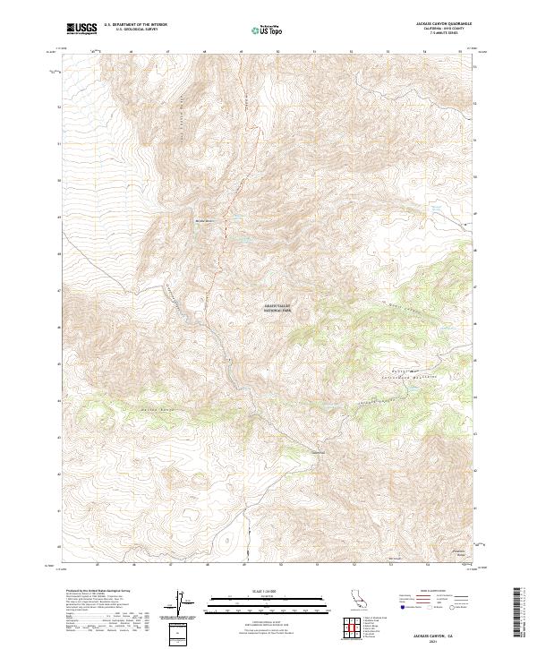
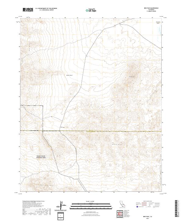
2021 Jackass Canyon
Inyo County, CA
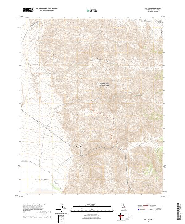
2021 Jail Canyon
Inyo County, CA
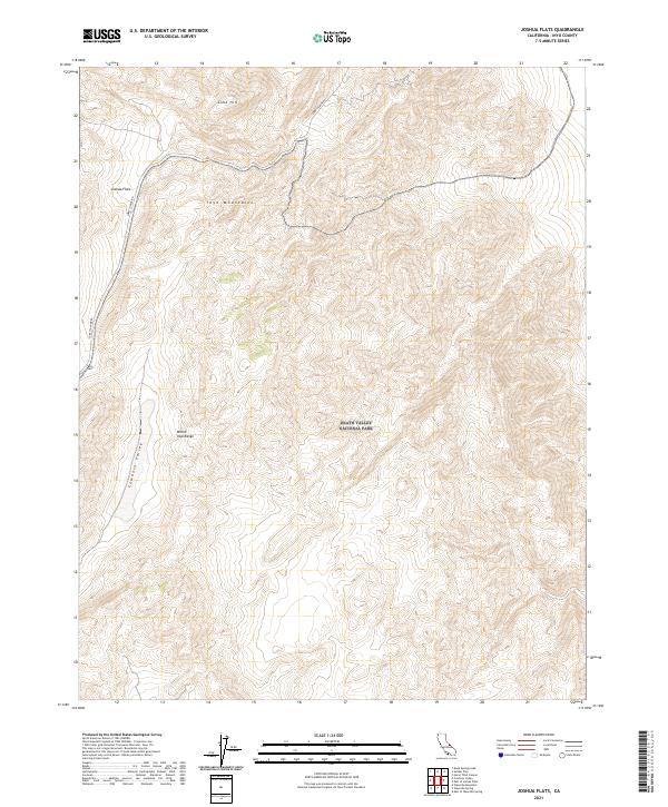
2021 Joshua Flats
Inyo County, CA
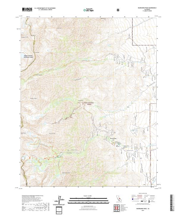
2021 Kearsarge Peak
Inyo County, CA
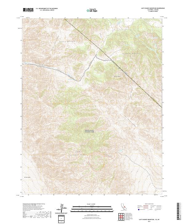
2021 Last Chance Mountain
Inyo County, CA
2021 Last Chance Range SE
Inyo County, CA
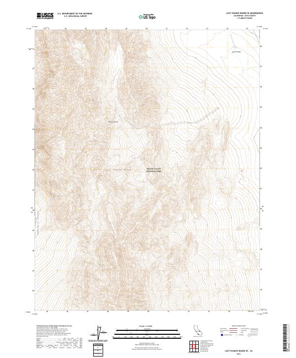
2021 Last Chance Range SW
Inyo County, CA
2021 Laws
Inyo County, CA
2021 Lees Camp
Inyo County, CA
2021 Lee Wash
Inyo County, CA
2021 Little Lake
Inyo County, CA
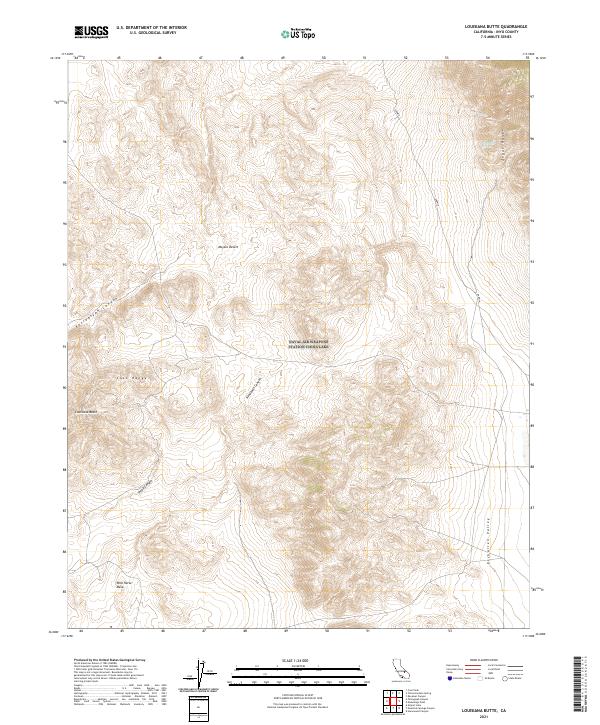
2021 Louisiana Butte
Inyo County, CA
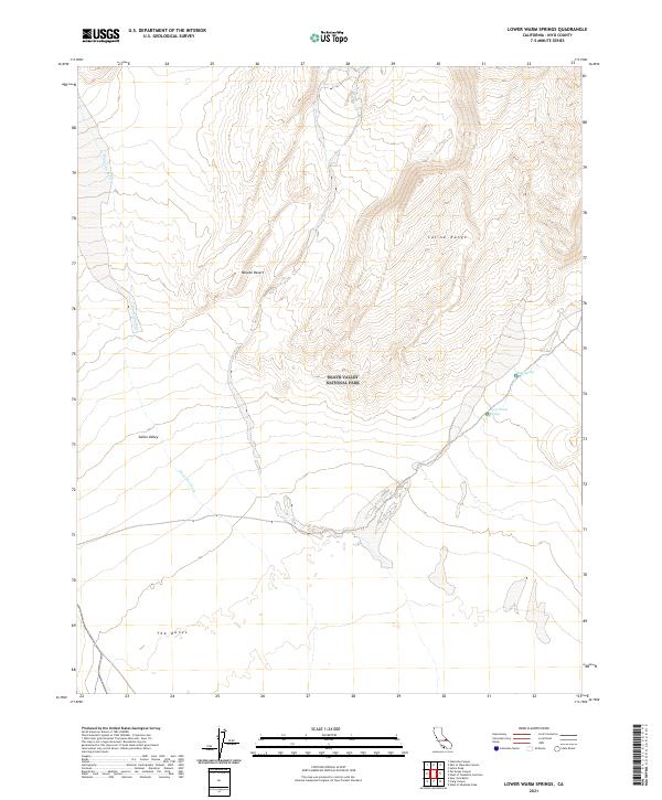
2021 Lower Warm Springs
Inyo County, CA
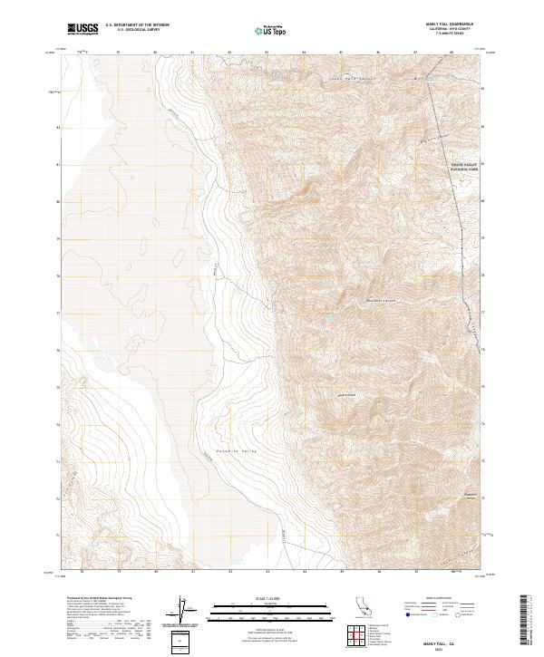
2021 Manly Fall
Inyo County, CA
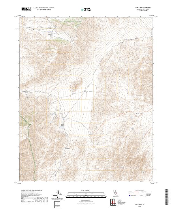
2021 Manly Peak
Inyo County, CA
2021 Manzanar
Inyo County, CA
2021 Maturango Peak
Inyo County, CA
2021 Maturango Peak NE
Inyo County, CA
2021 Maturango Peak SE
Inyo County, CA
2021 Mazourka Peak
Inyo County, CA
2021 Mesquite Flat
Inyo County, CA
2021 Mormon Point
Inyo County, CA
2021 Mountain Springs Canyon
Inyo County, CA
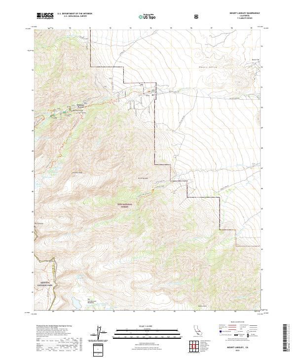
2021 Mount Langley
Inyo County, CA
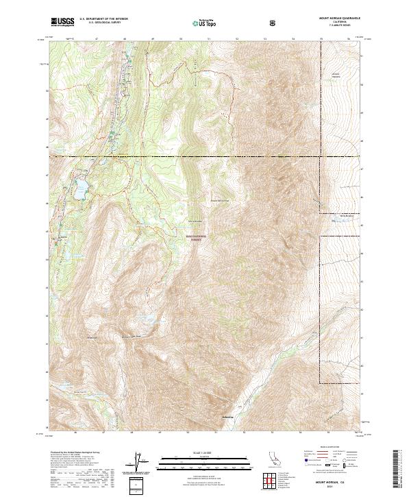
2021 Mount Morgan
Inyo County, CA
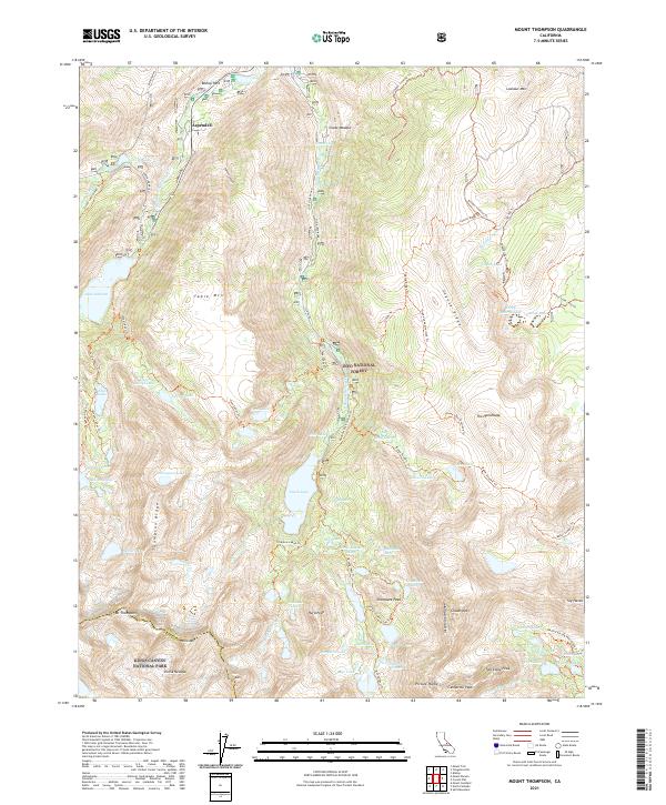
2021 Mount Thompson
Inyo County, CA
2021 Mount Tom
Inyo County, CA
2021 Mount Williamson
Inyo County, CA
2021 Nelson Range
Inyo County, CA
2021 Nevares Peak
Inyo County, CA
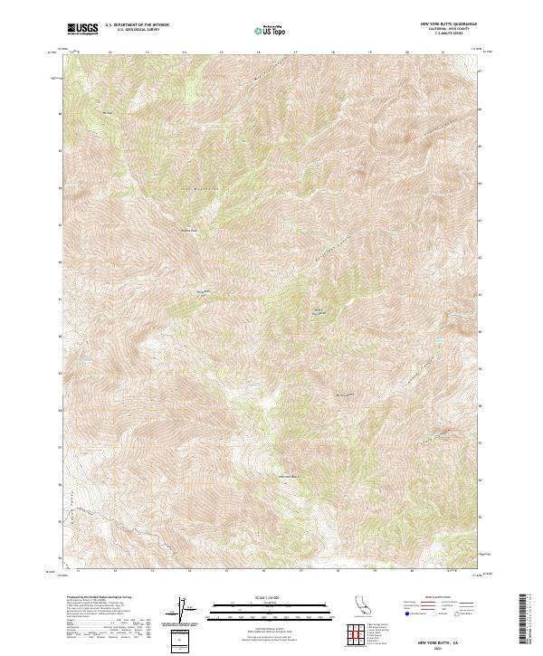
2021 New York Butte
Inyo County, CA
2021 Ninemile Canyon
Inyo County, CA
2021 Nopah Peak
Inyo County, CA
2021 North of Tecopa Pass
Inyo County, CA
2021 Nova Canyon
Inyo County, CA

2021 Owens Lake
Inyo County, CA
2021 Panamint Butte
Inyo County, CA
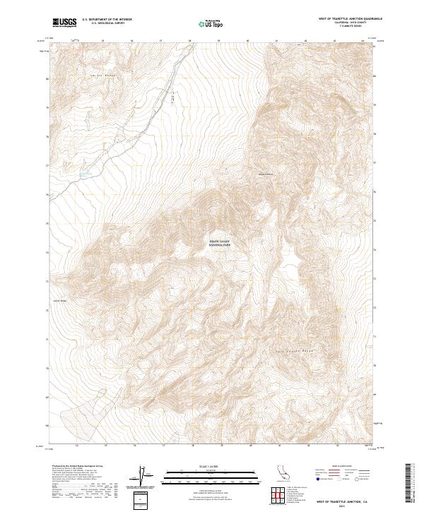
2021 Panamint
Inyo County, CA
2021 Panamint Springs
Inyo County, CA
2021 Pat Keyes Canyon
Inyo County, CA
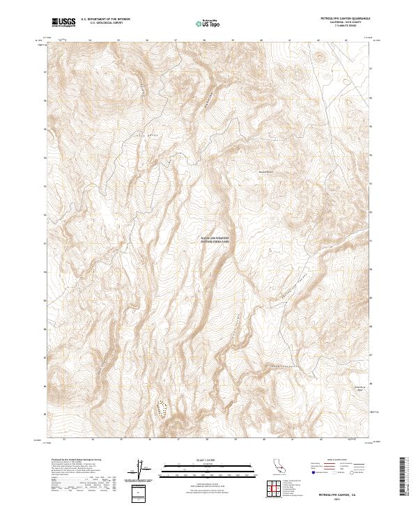
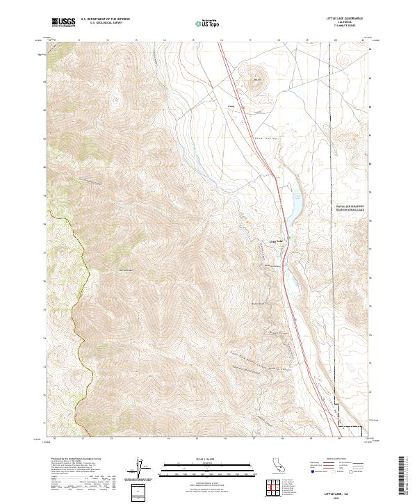
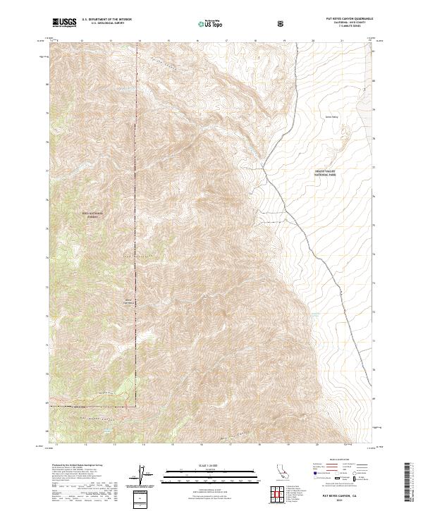
2021 Petroglyph Canyon
Inyo County, CA
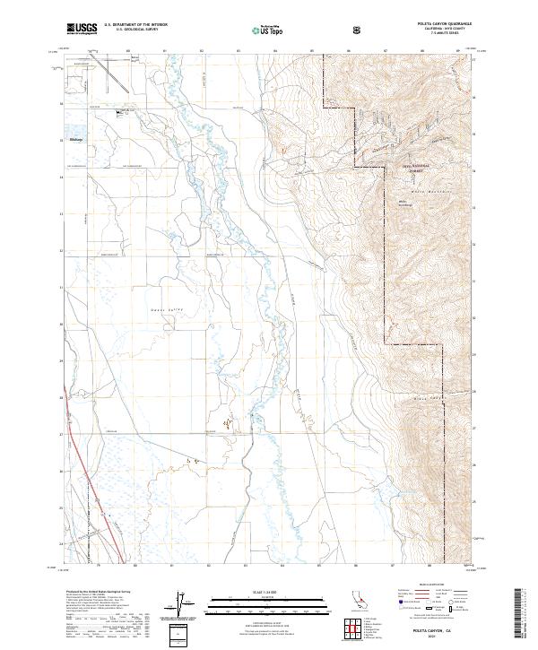
2021 Poleta Canyon
Inyo County, CA
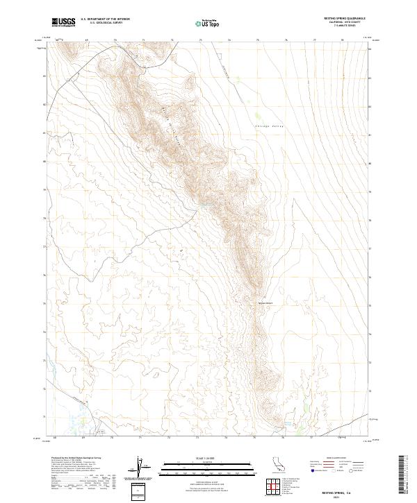
2021 Resting Spring
Inyo County, CA
2021 Revenue Canyon
Inyo County, CA
2021 Rovana
Inyo County, CA
2021 Ryan
Inyo County, CA
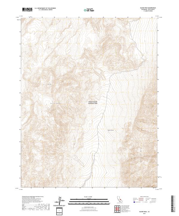
2021 Saline Peak
Inyo County, CA
2021 Salsberry Peak
Inyo County, CA
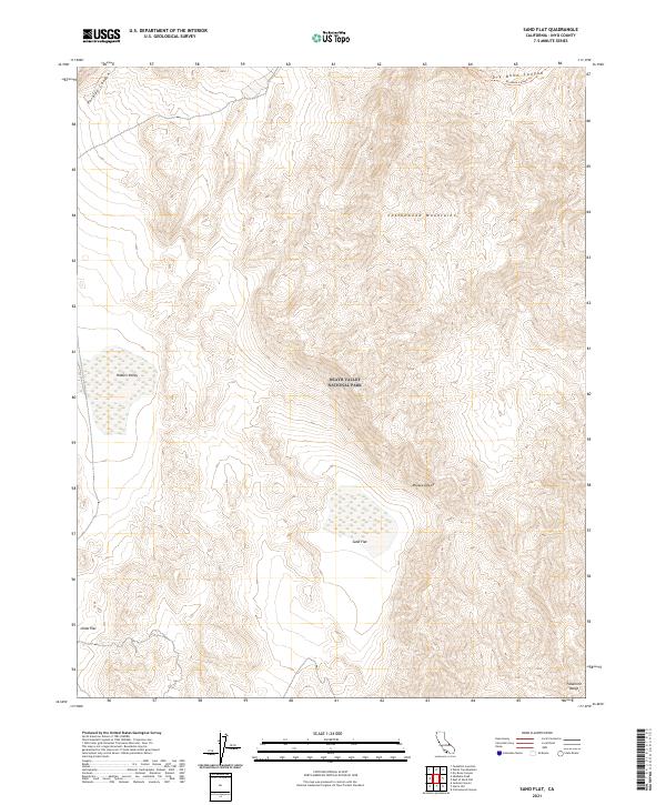
2021 Sand Flat
Inyo County, CA
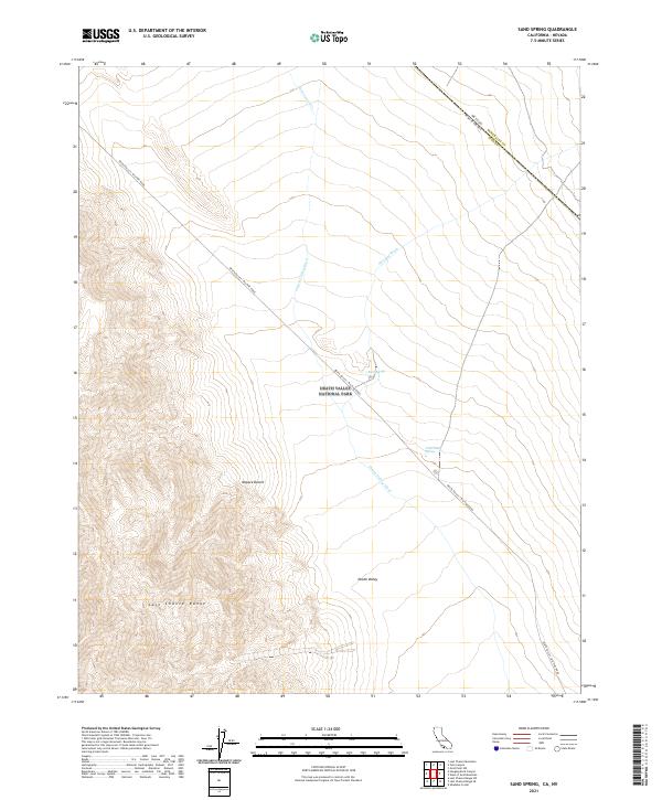
2021 Sand Spring
Inyo County, CA
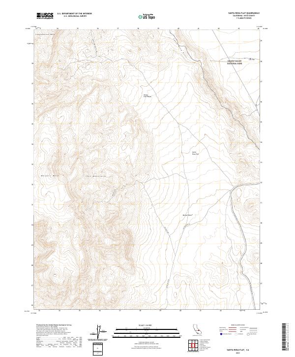
2021 Santa Rosa Flat
Inyo County, CA
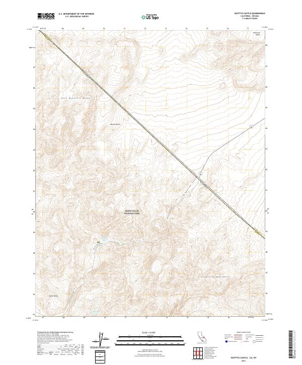
2021 Scottys Castle
Inyo County, CA
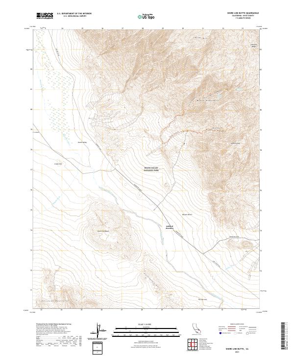
2021 Shore Line Butte
Inyo County, CA
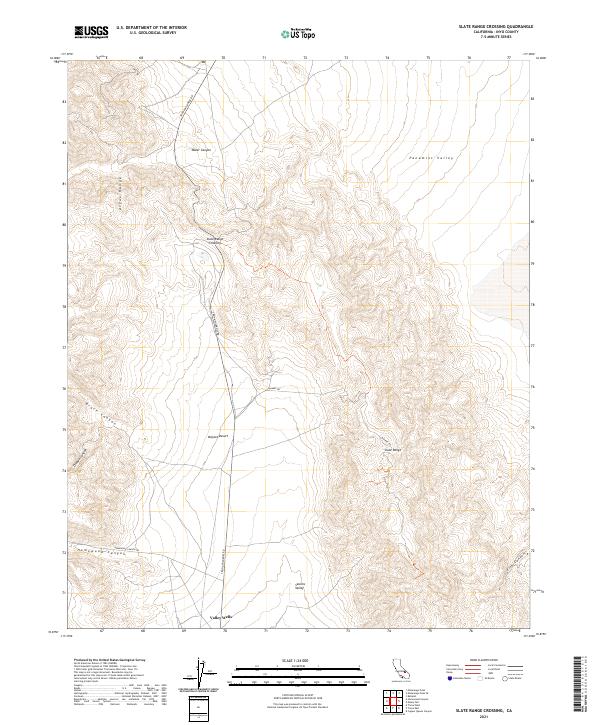
2021 Slate Range Crossing
Inyo County, CA
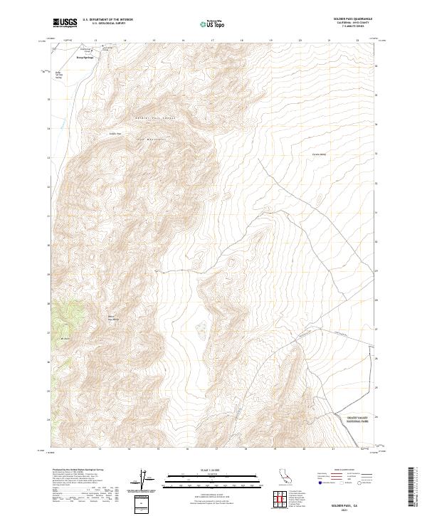
2021 Soldier Pass
Inyo County, CA
2021 Sourdough Spring
Inyo County, CA
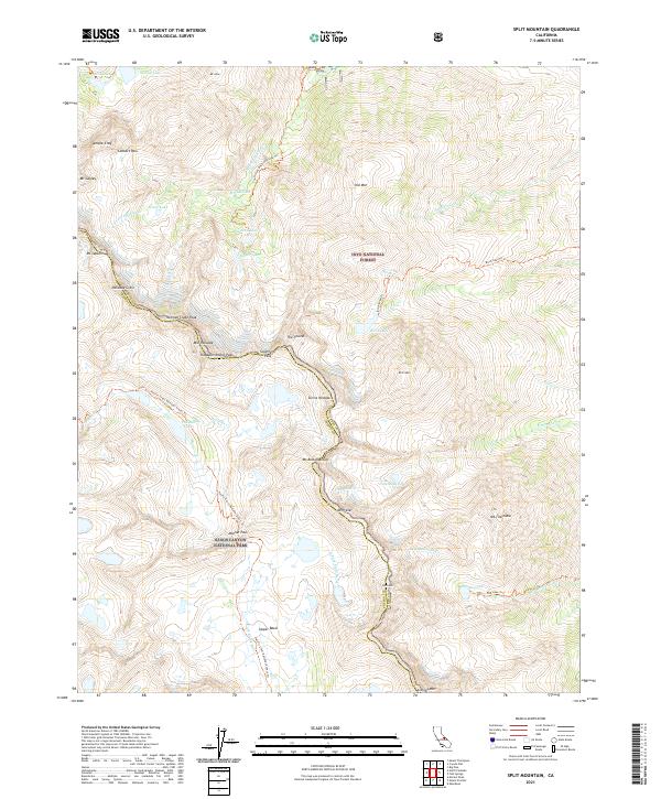
2021 Split Mountain
Inyo County, CA
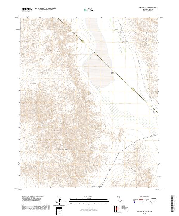
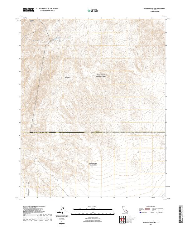
2021 Stewart Valley
Inyo County, CA
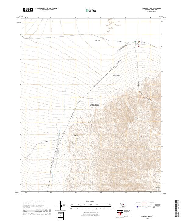
2021 Stovepipe Wells
Inyo County, CA
2021 Stovepipe Wells NE
Inyo County, CA
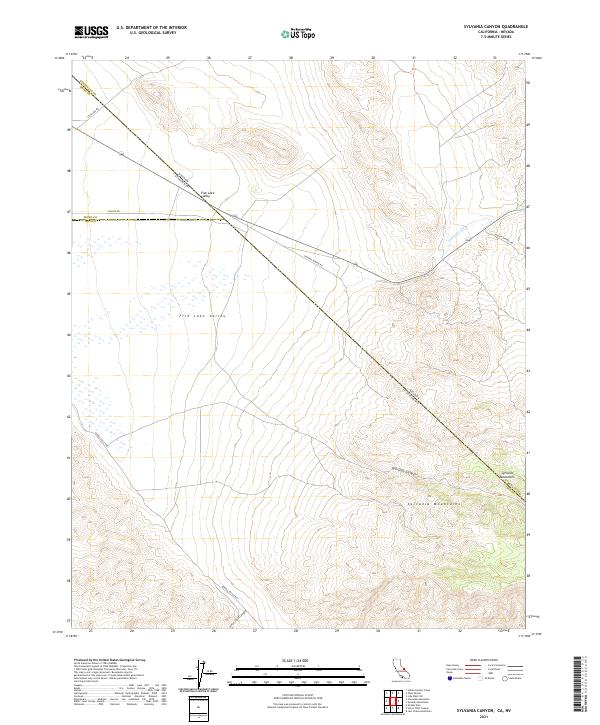
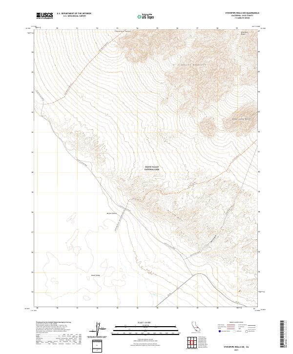
2021 Sylvania Canyon
Inyo County, CA
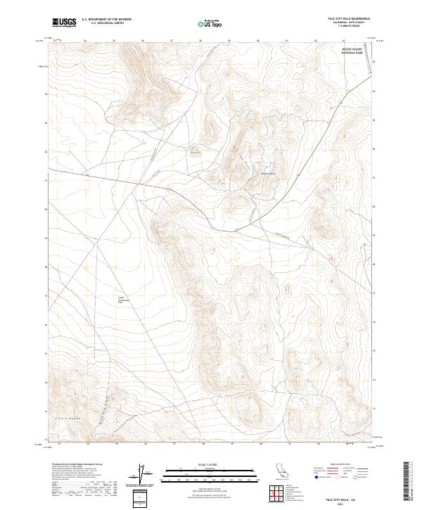
2021 Talc City Hills
Inyo County, CA
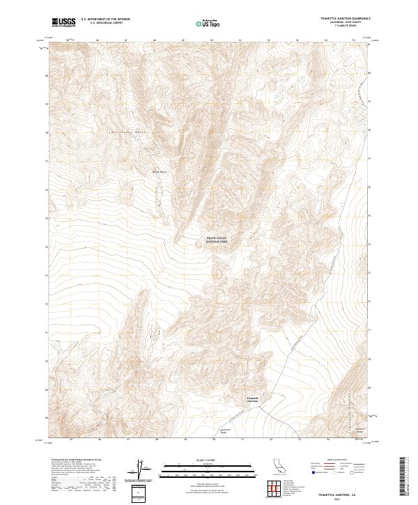
2021 Teakettle Junction
Inyo County, CA
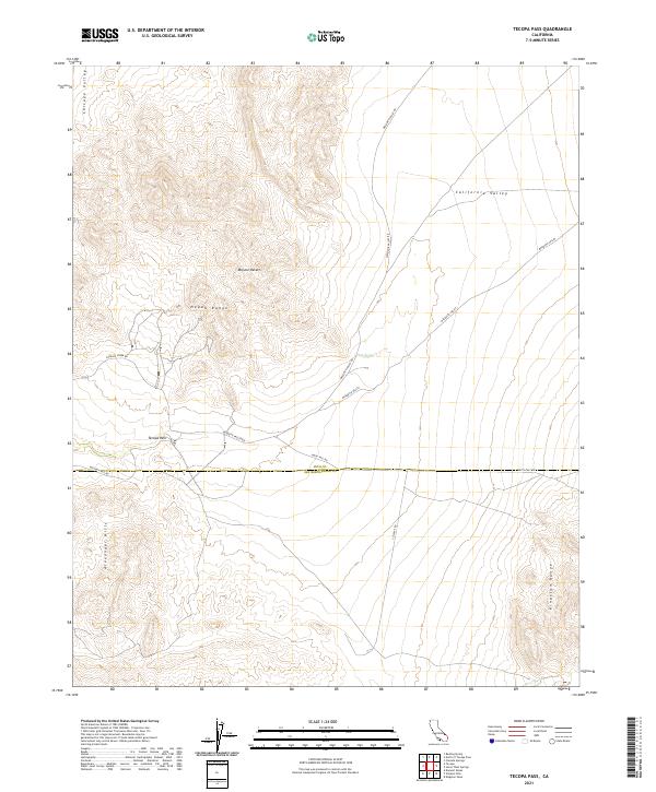
2021 Tecopa Pass
Inyo County, CA
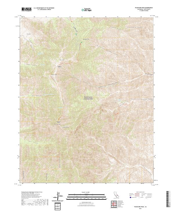
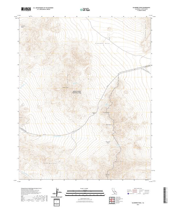
2021 Telescope Peak
Inyo County, CA
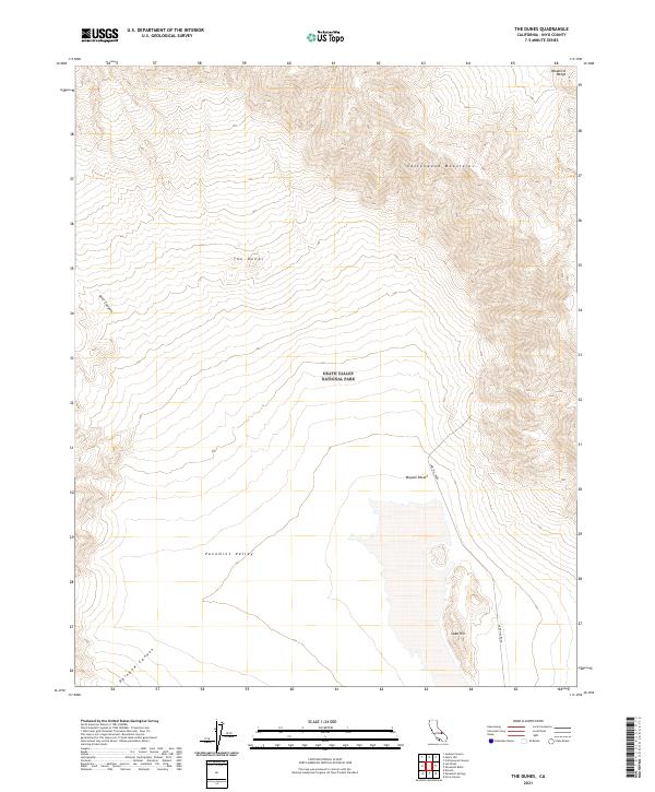
2021 The Dunes
Inyo County, CA
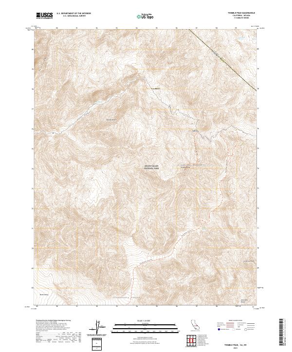
2021 Thimble Peak
Inyo County, CA
2021 Tinemaha Reservoir
Inyo County, CA
2021 Tin Mountain
Inyo County, CA

2021 Trona East
Inyo County, CA
2021 Trona West
Inyo County, CA
2021 Tucki Wash
Inyo County, CA
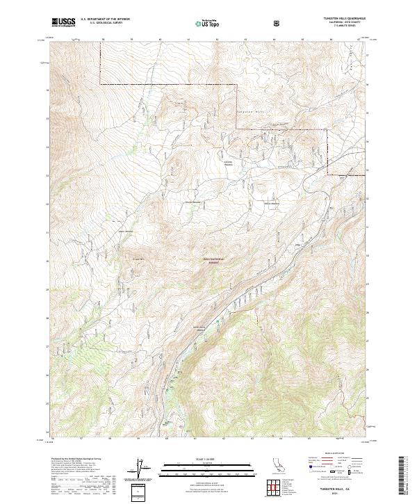
2021 Tungsten Hills
Inyo County, CA
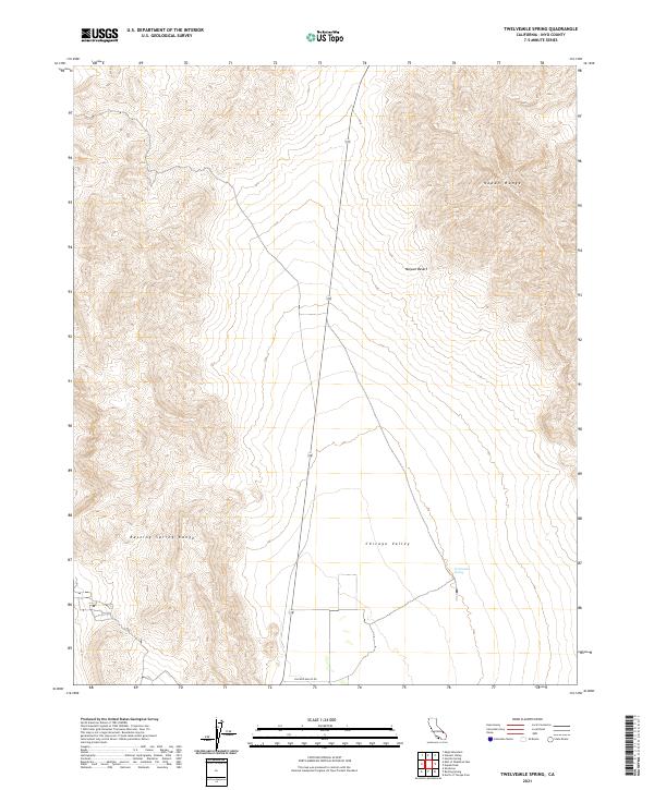
2021 Twelvemile Spring
Inyo County, CA
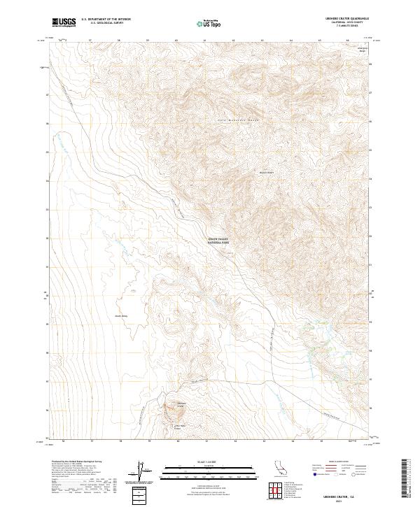
2021 Ubehebe Crater
Inyo County, CA
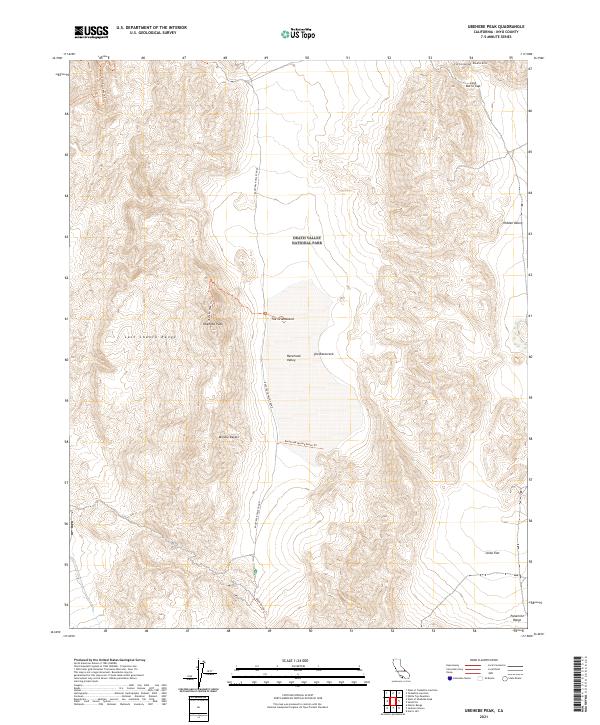
2021 Ubehebe Peak
Inyo County, CA
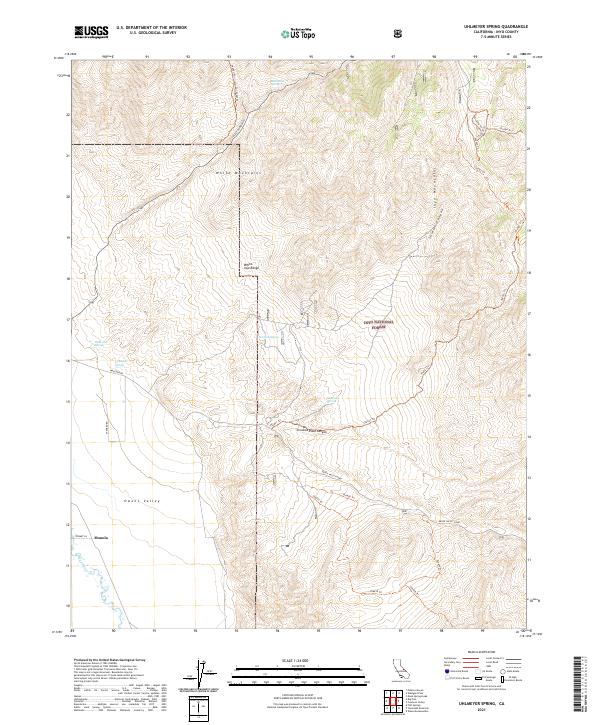
2021 Uhlmeyer Spring
Inyo County, CA
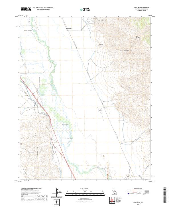
2021 Union Wash
Inyo County, CA
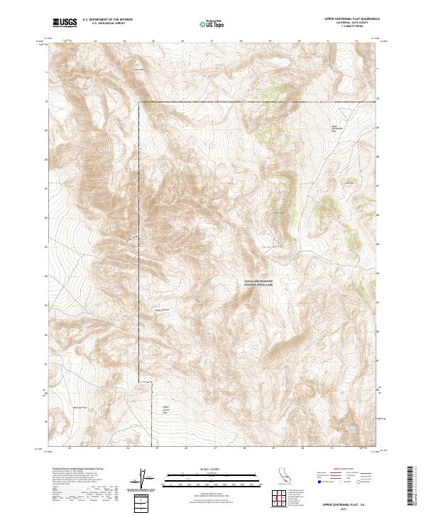
2021 Upper Centennial Flat
Inyo County, CA
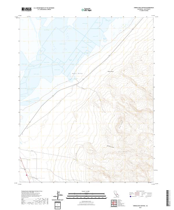
2021 Vermillion Canyon
Inyo County, CA
2021 Volcano Peak
Inyo County, CA
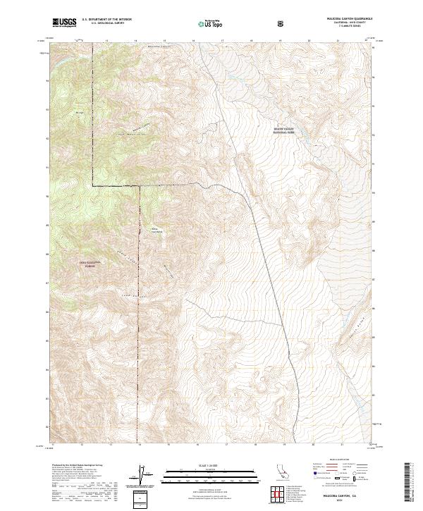
2021 Waucoba Canyon
Inyo County, CA
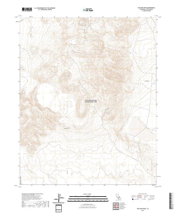
2021 Waucoba Mountain
Inyo County, CA
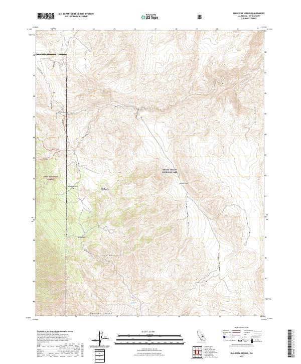
2021 Waucoba Spring
Inyo County, CA
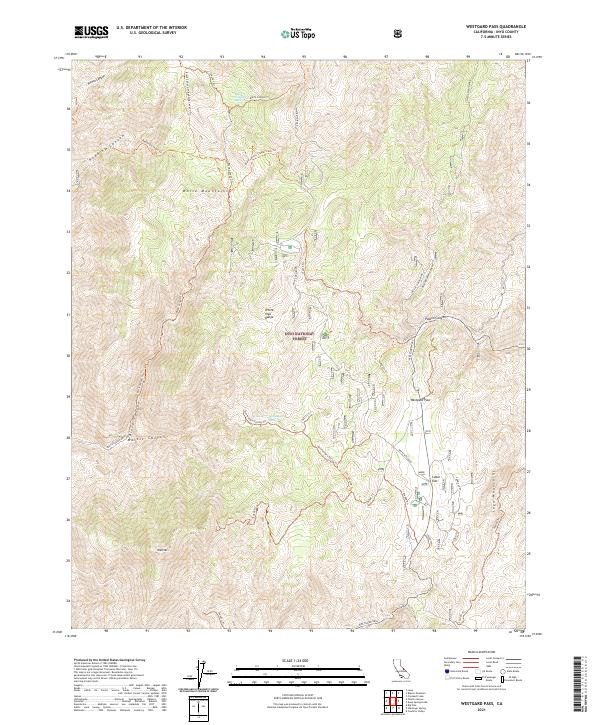
2021 Westgard Pass
Inyo County, CA
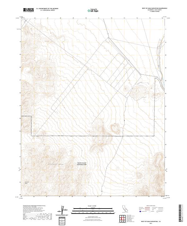
2021 West of Eagle Mountain
Inyo County, CA
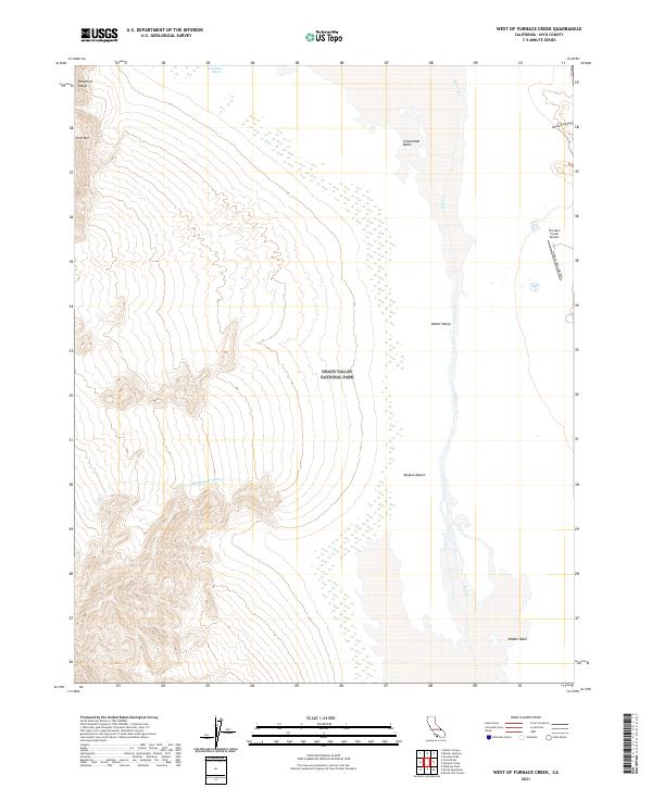
2021 West of Furnace Creek
Inyo County, CA
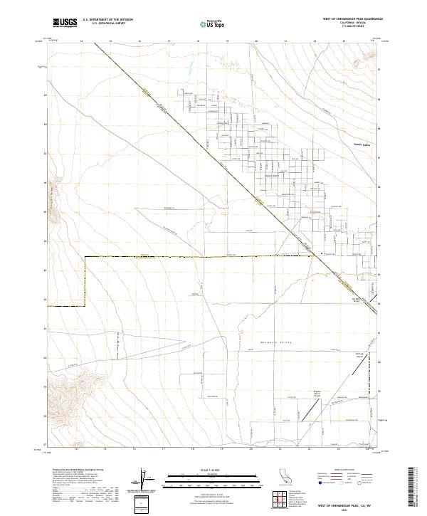
2021 West of Shenandoah Peak
Inyo County, CA
2021 West of Teakettle Junction
Inyo County, CA
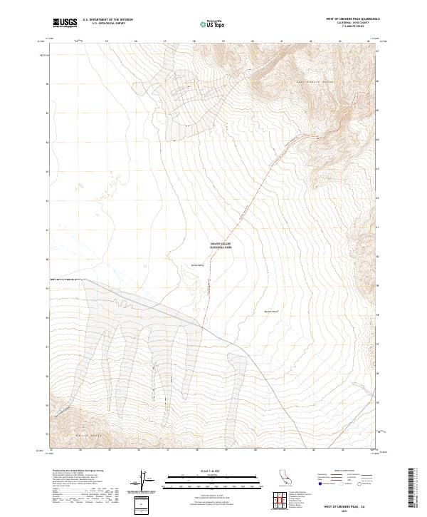
2021 West of Ubehebe Peak
Inyo County, CA
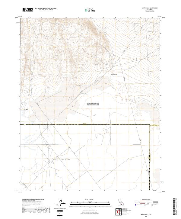
2021 White Hills
Inyo County, CA
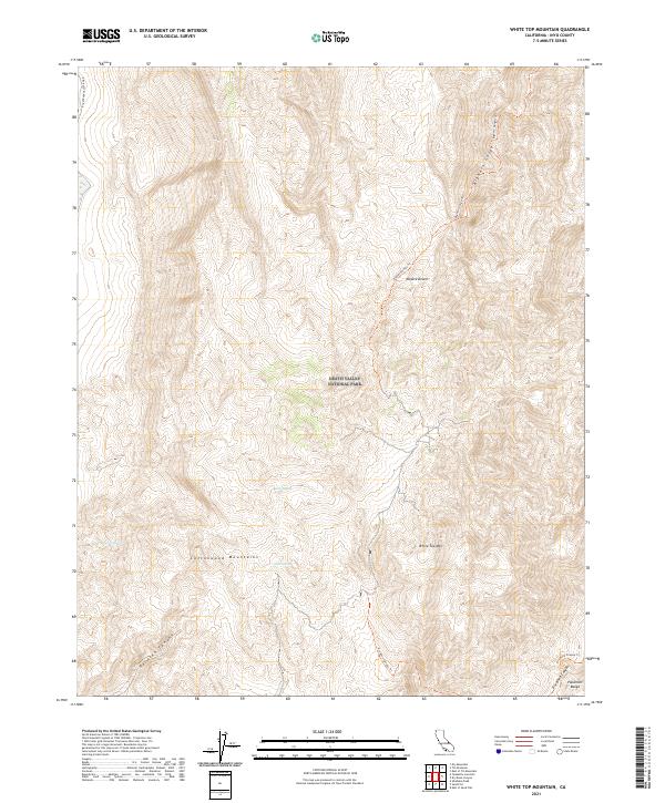
2021 White Top Mountain
Inyo County, CA
2021 Wildrose Peak
Inyo County, CA
2021 Wingate Wash East
Inyo County, CA
2021 Wingate Wash West
Inyo County, CA
2023 Manly Peak
Inyo County, CA
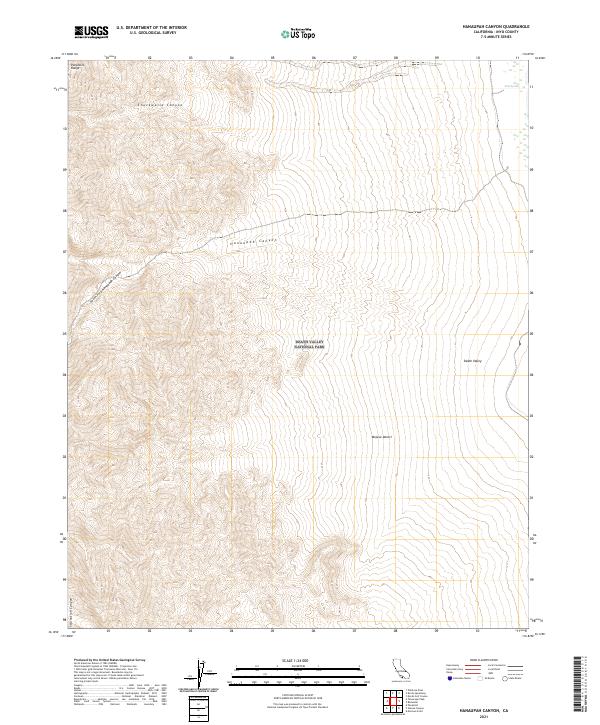
2023 Mazourka Peak
Inyo County, CA
2023 Waucoba Mountain
Inyo County, CA