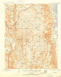
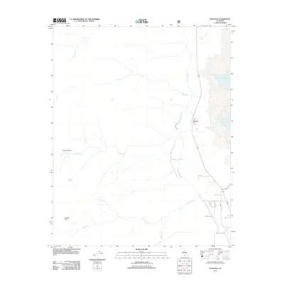
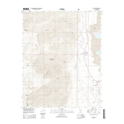
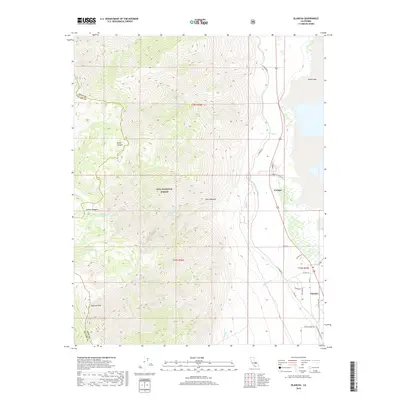
1905 Map of Olancha
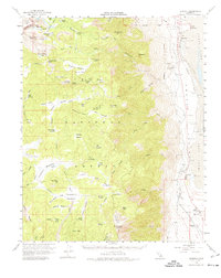
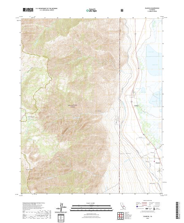
USGS Topo · Published 1957About this map
The Kern River watershed dominates this high-altitude survey, documenting the transition from the arid Owens Valley floor to the granite peaks of the Sequoia National Park. Along the eastern edge, the Southern Pacific RR skirts the shoreline of the valley, passing the small settlements of Cartago and Olancha. The map captures a wilderness landscape defined by glaciated features, including the Chagoopa Plateau and the Boreal Plateau, where high meadows like Sky Parlor Meadow and Siberian Outpost sit among unnamed peaks.
Find a feature on this map
123 named features on this map. Tap any name to fly to it.
Don’t see what you’re looking for? This feature index may not catch every label — zoom into the map to look around manually.
Map Details
Editions of this 1905 Olancha Map
This is the sole edition of this map. No revisions or reprints were ever made.
Historical Maps of Walker Creek Through Time
9 maps found