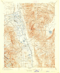
1913 Map of Bishop
USGS Topo · Published 1926About this map
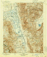
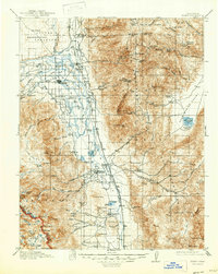
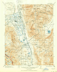
The Owens River valley serves as the central artery of this landscape, flanked by the massive elevations of the White Mountains and the Inyo Mountains. In this era before widespread modernization, a dense network of local education centers such as Riverside School, Sunland School, and Warm Spring School defines the rural social fabric. The Southern Pacific Railroad Owens Valley Branch provides the primary industrial link, connecting settlements like Laws, Zurich, and Big Pine to the broader region. High in the surrounding ranges, extractive history is visible at the Southern Belle Mine and Montezuma Mine, while the unusual geography of the Indian Volcanic Tableland dominates the northern horizon. The presence of numerous springs and meadows, such as Deadhorse Meadow and Antelope Spring, highlights the critical water sources that sustained early ranching operations like Roberts Ranch.
Find a feature on this map
110 named features on this map. Tap any name to fly to it.
Don’t see what you’re looking for? This feature index may not catch every label — zoom into the map to look around manually.
Map Details
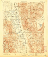
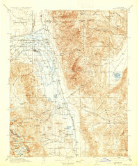
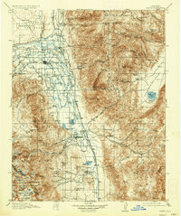
Editions of this 1913 Bishop Map
8 editions found
Other maps of this area

1898 · Silver Peak
USGS Topo · 1:125,000

1900 · Silver Peak
USGS Topo · 1:125,000

1903 · Tehipite
USGS Topo · 1:125,000

1905 · Tehipite
USGS Topo · 1:125,000

1907 · Mt. Whitney
USGS Topo · 1:125,000

1908 · Lida
USGS Topo · 1:250,000

1908 · Ballarat
USGS Topo · 1:250,000

1912 · Mt. Goddard
USGS Topo · 1:125,000

1913 · Bishop
USGS Topo · 1:125,000

1913 · Lida
USGS Topo · 1:250,000