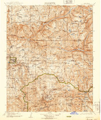
1905 Map of Tehipite
USGS Topo · Published 1939About this map
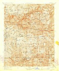
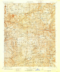
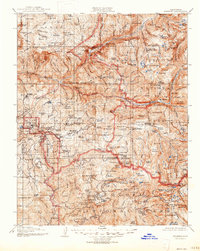
The General Grant National Park and Sequoia National Park boundaries define this high-altitude landscape as it appeared in the early 20th century. Surveyed in 1903 with culture updated in the 1920s and 30s, the map reveals a wilderness transition where early forestry and recreation hubs like Hume and Wilsonia are tucked among massive stands of Big Trees. The industrial presence of Abbott Mill contrasts with the remote outposts of Kanawyers and various ranger stations that serviced the High Sierra frontier.
Find a feature on this map
202 named features on this map. Tap any name to fly to it.
Don’t see what you’re looking for? This feature index may not catch every label — zoom into the map to look around manually.
Map Details
Editions of this 1905 Tehipite Map
8 editions found
Other maps of this area

1903 · Tehipite
USGS Topo · 1:125,000

1904 · Kaiser
USGS Topo · 1:125,000

1904 · Kaweah
USGS Topo · 1:125,000

1905 · Tehipite
USGS Topo · 1:125,000

1905 · Olancha
USGS Topo · 1:125,000

1907 · Olancha
USGS Topo · 1:125,000

1907 · Mt. Whitney
USGS Topo · 1:125,000

1909 · Kaweah
USGS Topo · 1:125,000

1912 · Mt. Goddard
USGS Topo · 1:125,000

1913 · Bishop
USGS Topo · 1:125,000