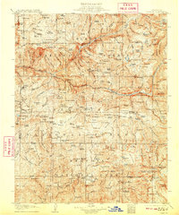
1905 Map of Tehipite
USGS Topo · Published 1909About this map
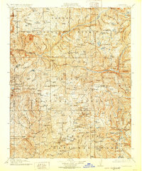
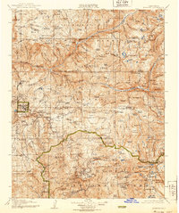
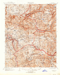
The High Sierra landscape of the early 1900s unfolds along the deep canyons of the Kings River and its multiple forks. This area, managed by the Sierra National Forest and including early boundaries of General Grant National Park and Sequoia National Park, is defined by its massive granite features and remote high-altitude meadows. Notable landmarks include the towering Tehipite Dome and Grand Sentinel, which loom over the river valleys.
Find a feature on this map
239 named features on this map. Tap any name to fly to it.
Don’t see what you’re looking for? This feature index may not catch every label — zoom into the map to look around manually.
Map Details
Editions of this 1905 Tehipite Map
8 editions found
Other maps of this area

1903 · Tehipite
USGS Topo · 1:125,000

1904 · Kaiser
USGS Topo · 1:125,000

1904 · Kaweah
USGS Topo · 1:125,000

1905 · Tehipite
USGS Topo · 1:125,000

1905 · Olancha
USGS Topo · 1:125,000

1907 · Olancha
USGS Topo · 1:125,000

1907 · Mt. Whitney
USGS Topo · 1:125,000

1909 · Kaweah
USGS Topo · 1:125,000

1912 · Mt. Goddard
USGS Topo · 1:125,000

1913 · Bishop
USGS Topo · 1:125,000