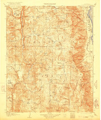
1907 Map of Olancha
USGS Topo · Published 1922About this map
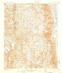
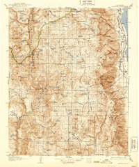
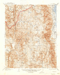
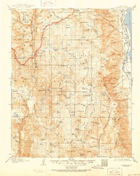
Owens Lake and its western shoreline define the eastern edge of this High Sierra landscape, which was surveyed just as the regional rail and water infrastructure began to shift. Along the lakeshore, the Southern Pacific System rail line connects the small lakeside settlements of Cartago and Olancha, serving as a vital transport link for the Owens Valley. Westward, the terrain rises sharply into the Sequoia National Forest, where the complex drainage of the South Fork Kern River and Golden Trout Creek carves through the plateau. This 1905 survey captures a network of seasonal camps and springs, including Funston Camp and several Soda Spr sites, which suggest a landscape utilized for livestock grazing and early backcountry exploration. The map detail highlights the importance of mountain passes like Summit Meadows Olancha Pass for moving between the arid valley floor and the high timberlands.
Find a feature on this map
130 named features on this map. Tap any name to fly to it.
Don’t see what you’re looking for? This feature index may not catch every label — zoom into the map to look around manually.
Map Details
Editions of this 1907 Olancha Map
9 editions found
Other maps of this area

1903 · Tehipite
USGS Topo · 1:125,000

1904 · Kaweah
USGS Topo · 1:125,000

1905 · Tehipite
USGS Topo · 1:125,000

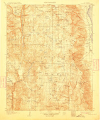
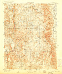
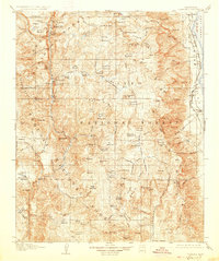
1905 · Olancha
USGS Topo · 1:125,000

1905 · Fairview
USGS Topo · 1:24,000

1906 · Kernville
USGS Topo · 1:125,000

1907 · Olancha
USGS Topo · 1:125,000

1907 · Mt. Whitney
USGS Topo · 1:125,000

1908 · Kernville
USGS Topo · 1:125,000

1908 · Ballarat
USGS Topo · 1:250,000