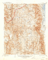
1907 Map of Olancha
USGS Topo · Published 1947About this map
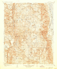
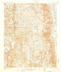
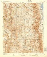
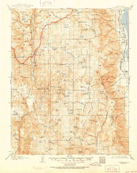
Owens Lake and its western shoreline dominate the eastern edge of this high-elevation landscape, where the Southern Pacific railroad and the Mojave Division of the Los Angeles Aqueduct trace the foot of the mountains. This 1905 survey, published in 1907, illustrates a wilderness in transition, capturing the early infrastructure of the Owens Valley alongside the remote reaches of Sequoia National Park and Inyo National Forest. High-country water management and access are evident through features like the Tunnel and the Chagoopa Falls Ranger Station.
Find a feature on this map
166 named features on this map. Tap any name to fly to it.
Don’t see what you’re looking for? This feature index may not catch every label — zoom into the map to look around manually.
Map Details
Editions of this 1907 Olancha Map
9 editions found
Other maps of this area

1903 · Tehipite
USGS Topo · 1:125,000

1904 · Kaweah
USGS Topo · 1:125,000

1905 · Tehipite
USGS Topo · 1:125,000

1905 · Olancha
USGS Topo · 1:125,000

1905 · Fairview
USGS Topo · 1:24,000

1906 · Kernville
USGS Topo · 1:125,000

1907 · Olancha
USGS Topo · 1:125,000

1907 · Mt. Whitney
USGS Topo · 1:125,000

1908 · Kernville
USGS Topo · 1:125,000

1908 · Ballarat
USGS Topo · 1:250,000