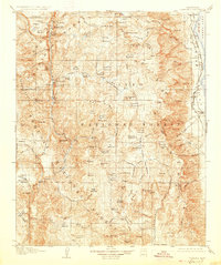
1907 Map of Olancha
USGS Topo · Published 1927About this map
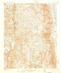
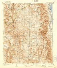
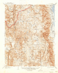
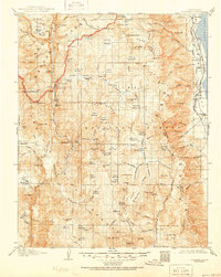
Owens Lake and the western slopes of the Sierra Nevada dominate this early 20th-century survey of the California high country. The eastern edge captures the Southern Pacific System rail line connecting the lakeside settlements of Cartago and Olancha, while the vast interior is defined by protected federal lands including Sequoia National Park and Inyo National Forest. The map documents a wilderness landscape shaped by water and geological heat, noting features like Kern Hot Spring, Jordan Hot Sprs, and the Natural Bridge. Evidence of human industry and transit appears in the high passes and remote mining locations such as The Tunnel near South Fork Meadows. Numerous meadows like Sky Parlor Meadow and Mulkey Meadows are carefully recorded, suggesting their importance for grazing and early mountain travel before the development of modern roads.
Find a feature on this map
126 named features on this map. Tap any name to fly to it.
Don’t see what you’re looking for? This feature index may not catch every label — zoom into the map to look around manually.
Map Details
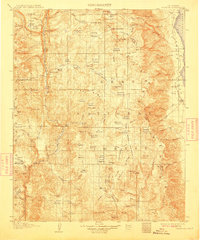
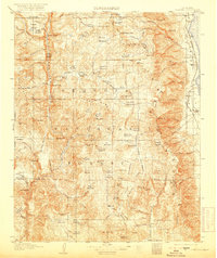
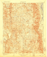
Editions of this 1907 Olancha Map
9 editions found
Other maps of this area

1903 · Tehipite
USGS Topo · 1:125,000

1904 · Kaweah
USGS Topo · 1:125,000

1905 · Tehipite
USGS Topo · 1:125,000

1905 · Olancha
USGS Topo · 1:125,000

1905 · Fairview
USGS Topo · 1:24,000

1906 · Kernville
USGS Topo · 1:125,000

1907 · Olancha
USGS Topo · 1:125,000

1907 · Mt. Whitney
USGS Topo · 1:125,000

1908 · Kernville
USGS Topo · 1:125,000

1908 · Ballarat
USGS Topo · 1:250,000