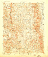
1907 Map of Olancha
USGS Topo · Published 1919About this map
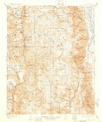
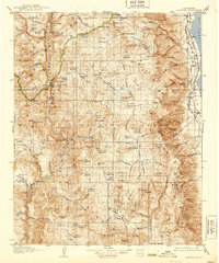
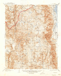
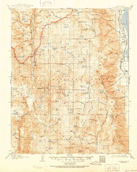
Sequoia National Forest and the Toowah Range dominate this early 20th-century survey of the eastern Sierra Nevada. The terrain is defined by a high-altitude network of meadows and water bodies, including Kern Lake and the Chagoopa Plateau, before the landscape drops sharply into the Owens Valley. Along the eastern edge, the Southern Pacific System railroad and the Mojave (Owens Br) line trace the shoreline of Owens Lake, connecting early settlements like Olancha, Cartago, and Carthage.
Find a feature on this map
126 named features on this map. Tap any name to fly to it.
Don’t see what you’re looking for? This feature index may not catch every label — zoom into the map to look around manually.
Map Details
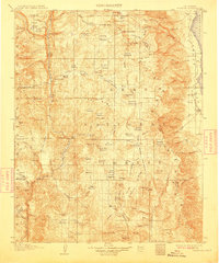
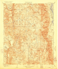
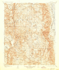
Editions of this 1907 Olancha Map
9 editions found
Other maps of this area

1903 · Tehipite
USGS Topo · 1:125,000

1904 · Kaweah
USGS Topo · 1:125,000

1905 · Tehipite
USGS Topo · 1:125,000

1905 · Olancha
USGS Topo · 1:125,000

1905 · Fairview
USGS Topo · 1:24,000

1906 · Kernville
USGS Topo · 1:125,000

1907 · Olancha
USGS Topo · 1:125,000

1907 · Mt. Whitney
USGS Topo · 1:125,000

1908 · Kernville
USGS Topo · 1:125,000

1908 · Ballarat
USGS Topo · 1:250,000