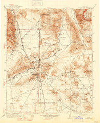
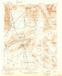
1915 Map of Searles Lake
USGS Topo · Published 1946About this map
Randsburg and Johannesburg anchor this 1915 survey of the Mojave Desert, illustrating the mining-driven development of the El Paso Mountains and surrounding ranges. The landscape is defined by the extraction of minerals, evidenced by the Soda Works on the edge of Searles Lake and numerous isolated claims like the Arando Mine and Star of the West Mine. A critical network of water sources, from Indian Joe Spring to Koehn Spring, dictated the survival of early settlements and desert camps.
Find a feature on this map
133 named features on this map. Tap any name to fly to it.
Don’t see what you’re looking for? This feature index may not catch every label — zoom into the map to look around manually.
Map Details
Editions of this 1915 Searles Lake Map
6 editions found

Other maps of this area

1903 · Randsburg
USGS Topo · 1:62,500

1905 · Olancha
USGS Topo · 1:125,000

1906 · Kernville
USGS Topo · 1:125,000

1907 · Olancha
USGS Topo · 1:125,000

1908 · Furnace Creek
USGS Topo · 1:250,000

1908 · Kernville
USGS Topo · 1:125,000

1908 · Ballarat
USGS Topo · 1:250,000

1910 · Furnace Creek
USGS Topo · 1:250,000

1911 · Randsburg
USGS Topo · 1:62,500

1912 · Randsburg
USGS Topo · 1:62,500