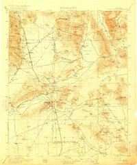
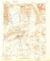
1915 Map of Searles Lake
USGS Topo · Published 1922About this map
The vast saline expanse of Searles Lake and its industrial Borax Soda Works anchor this high-desert landscape in the years following the 1911-1913 surveys. The region is defined by a dense network of mining settlements and rail infrastructure, including the Trona RR and the Southern Pacific Owenyo Branch. To the south, the gold and tungsten boom is evident in the cluster of towns including Randsburg, Johannesburg, and Atolia, while the presence of St Elmo and Summit Diggings highlights the intensive mineral exploration of the Rand Mountains. This era marks the early operation of the Los Angeles Aqueduct, which cuts through the western portion of the map near the El Paso Mountains. Local history is preserved in vanished post offices and stops like Muerzo Leliter PO and Terese Siding, alongside remote outpost camps like Opal Camp and Coolgardie Camp.
Find a feature on this map
99 named features on this map. Tap any name to fly to it.
Don’t see what you’re looking for? This feature index may not catch every label — zoom into the map to look around manually.
Map Details
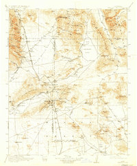
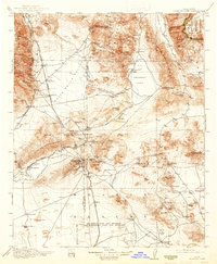
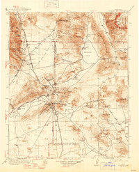
Editions of this 1915 Searles Lake Map
6 editions found

Other maps of this area

1903 · Randsburg
USGS Topo · 1:62,500

1905 · Olancha
USGS Topo · 1:125,000

1906 · Kernville
USGS Topo · 1:125,000

1907 · Olancha
USGS Topo · 1:125,000

1908 · Furnace Creek
USGS Topo · 1:250,000

1908 · Kernville
USGS Topo · 1:125,000

1908 · Ballarat
USGS Topo · 1:250,000

1910 · Furnace Creek
USGS Topo · 1:250,000

1911 · Randsburg
USGS Topo · 1:62,500

1912 · Randsburg
USGS Topo · 1:62,500