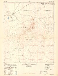
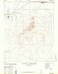
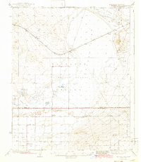
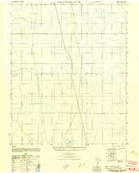
1947 Map of Rich
USGS Topo · Published 1947About this map
Muroc Army Airfield Military Reservation dominates the southern landscape of this mid-century survey, reflecting the intensifying military footprint in the Mojave Desert after the war. The map centers on the critical rail and mining hub of Boron, where the industrial infrastructure of the Pacific Coast Borax Co. Mine & Mill 3 Mi. and the Suckow Borax Co. Mine 3 Mi. are noted as vital regional landmarks. This area served as a nexus for the Atchison Topeka and Santa Fe railroad, which provided the essential transport link for mineral extraction across the arid basins.
Find a feature on this map
10 named features on this map. Tap any name to fly to it.
Don’t see what you’re looking for? This feature index may not catch every label — zoom into the map to look around manually.
Map Details
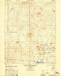
Editions of this 1947 Rich Map
2 editions found
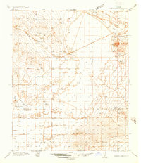
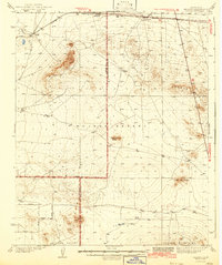
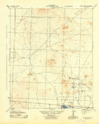
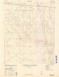
Other maps of this area

1915 · Searles Lake
USGS Topo · 1:250,000

1937 · Kramer
USGS Topo · 1:48,000
1937 · Rogers Lake
USGS Topo · 1:48,000
1942 · Kramer
USGS Topo · 1:62,500
1942 · Rogers Lake
USGS Topo · 1:62,500
1943 · Castle Butte
USGS Topo · 1:62,500
1947 · Castle Butte
USGS Topo · 1:50,000
1947 · Kramer
USGS Topo · 1:24,000
1947 · Johannesburg SE
USGS Topo · 1:25,000
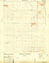
1947 · Red Buttes
USGS Topo · 1:24,000