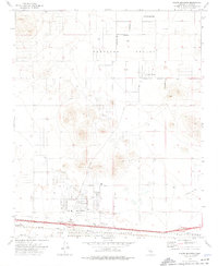
1973 Map of North Edwards
USGS Topo · Published 1976About this map
North Edwards serves as a central hub on this high desert sheet, situated just north of the Atchison Topeka and Santa Fe railroad and the Air Force Flight Test Center. The residential layout of the community is clearly defined, including the Lynch Sch and a neighborhood grid featuring Glendower Ave and Lorraine Ave. To the north, the expanse of Peerless Valley is marked by the California City corporate boundary and the isolated settlement of Aerial Acres.
Find a feature on this map
24 named features on this map. Tap any name to fly to it.
Don’t see what you’re looking for? This feature index may not catch every label — zoom into the map to look around manually.
Map Details
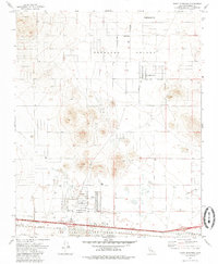
Editions of this 1973 North Edwards Map
2 editions found
Other maps of this area

1915 · Searles Lake
USGS Topo · 1:250,000

1937 · Kramer
USGS Topo · 1:48,000
1937 · Rogers Lake
USGS Topo · 1:48,000
1942 · Kramer
USGS Topo · 1:62,500
1942 · Rogers Lake
USGS Topo · 1:62,500
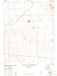
1943 · Castle Butte
USGS Topo · 1:62,500
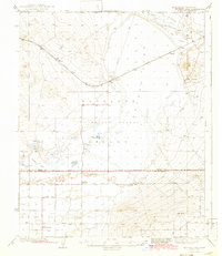
1947 · Fluhr
USGS Topo · 1:24,000
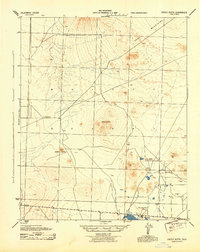
1947 · Castle Butte
USGS Topo · 1:50,000
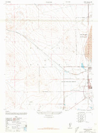
1947 · Rich
USGS Topo · 1:24,000
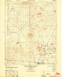
1947 · Desert Butte
USGS Topo · 1:24,000