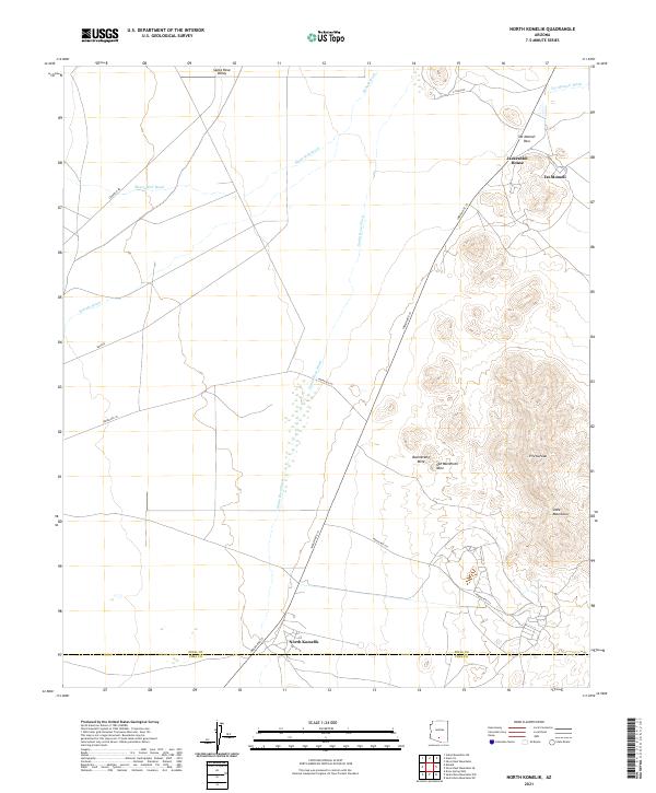
2021 Map of North Komelik
USGS Topo · Published 2021About this map
Santa Rosa Valley defines this arid landscape in southern Pinal County, where the desert floor is etched by complex drainage networks like Bitter Well Wash and Kohatk Wash. The terrain transitions from the broad alluvial plains of the Santa Rosa Wash to the prominent heights of the Slate Mountains in the southeast. This rugged topography creates natural corridors like Tat Momoli Pass, which historically shaped movement through the region.
Find a feature on this map
29 named features on this map. Tap any name to fly to it.
Don’t see what you’re looking for? This feature index may not catch every label — zoom into the map to look around manually.
Map Details
Editions of this 2021 North Komelik Map
This is the sole edition of this map. No revisions or reprints were ever made.
Other maps of this area

1934 · Silver Bell
USGS Topo · 1:125,000

1941 · Vekol Mountains
USGS Topo · 1:62,500

1942 · Silver Reef Mountains
USGS Topo · 1:62,500

1942 · Vekol Mountains
USGS Topo · 1:62,500

1953 · Ajo
USGS Topo · 1:250,000

1956 · Tucson
USGS Topo · 1:250,000

1957 · Ajo
USGS Topo · 1:250,000

1958 · Ajo
USGS Topo · 1:250,000

1958 · Tucson
USGS Topo · 1:250,000

1959 · Tucson
USGS Topo · 1:250,000
Featured Places
- Tat Momoli, Sif Oidak District
- North Komelik, Sif Oidak District
- Sif Oidak District, AZ
- Pima County, AZ
- Pinal County, AZ