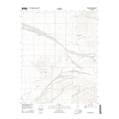
2015 Map of North of Baker
USGS Topo · Published 2015About this map
Riggs Wash winds through this arid landscape within the Mojave Desert, marking a significant natural drainage corridor in northeastern San Bernardino County. The topography is defined by the alluvial fans and complex drainage patterns that shape the high desert floor between rising mountain ranges. This 2015 survey details the modern road network servicing this remote area, including Riggs Rd and Halloran Springs Rd, providing a clear record of land use and accessibility in the California desert. Researchers will find the Public Land Survey System grids for t16n r8e and t16n r9e particularly useful for correlating property lines and mining claims with the natural terrain features of the northern Baker vicinity.
Find a feature on this map
12 named features on this map. Tap any name to fly to it.
Don’t see what you’re looking for? This feature index may not catch every label — zoom into the map to look around manually.
Map Details
Editions of this 2015 North of Baker Map
This is the sole edition of this map. No revisions or reprints were ever made.
Other maps of this area

1910 · Ivanpah
USGS Topo · 1:250,000

1912 · Ivanpah
USGS Topo · 1:250,000

1933 · Avawatz Mountains
USGS Topo · 1:250,000

1942 · Ivanpah
USGS Topo · 1:250,000

1947 · Trona
USGS Topo · 1:250,000

1947 · Kingman
USGS Topo · 1:250,000

1948 · Kingman
USGS Topo · 1:250,000

1948 · Trona
USGS Topo · 1:250,000

1953 · Trona
USGS Topo · 1:250,000

1954 · Kingman
USGS Topo · 1:250,000