Loading...
Loading map...2023 Map of North Powder
USGS Topo · Published 2023About this map
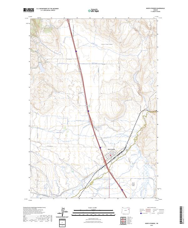
North Powder anchors this landscape at the border of Union and Baker Counties, situated where the North Powder River and the Powder River meet. The area is defined by a sophisticated network of irrigation systems essential to the agricultural life of the North Powder Valley and Clover Creek Valley. Named waterways like Moody Ditch, Sunnyslope Ditch, and the Travillion-Koester ditch crisscross the terrain, reflecting a long history of water management in the high desert.
Find a feature on this map
56 named features on this map. Tap any name to fly to it.
Don’t see what you’re looking for? This feature index may not catch every label — zoom into the map to look around manually.
Map Details
Date Portrayed2023
Date Published2023
PublisherU.S. Geological Survey
Map TypeTopographic
Scale1:24000
Physical Dimensions24 x 29 inches
Editions of this 2023 North Powder Map
This is the sole edition of this map. No revisions or reprints were ever made.
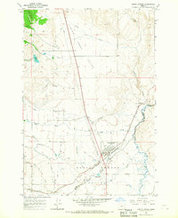
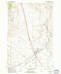
Historical Maps of North Powder Through Time
3 maps found
Featured Locations
Source Details
SourceU.S. Geological Survey
CopyrightPublic Domain