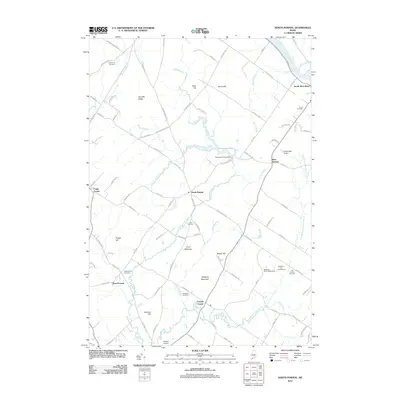
2011 Map of North Pownal
USGS Topo · Published 2011About this map
Bradbury Mountain anchors the southern landscape of this 2011 survey, a prominent rise overlooking a network of brooks and small family settlements. The area is defined by its agricultural and residential clusters, notably North Pownal, Pownal Center, and West Pownal. These villages are connected by a dense grid of named roads that reflect the local history of the region, such as Auburn Pownal Rd and Rice Corner Rd.
Find a feature on this map
99 named features on this map. Tap any name to fly to it.
Don’t see what you’re looking for? This feature index may not catch every label — zoom into the map to look around manually.
Map Details
Editions of this 2011 North Pownal Map
This is the sole edition of this map. No revisions or reprints were ever made.
Other maps of this area

1892 · Freeport
USGS Topo · 1:62,500

1894 · Gray
USGS Topo · 1:62,500

1898 · Gray
USGS Topo · 1:62,500

1908 · Poland
USGS Topo · 1:62,500

1908 · Lewiston
USGS Topo · 1:62,500

1940 · Poland
USGS Topo · 1:62,500

1941 · Freeport
USGS Topo · 1:62,500

1942 · Lewiston
USGS Topo · 1:62,500

1942 · Poland
USGS Topo · 1:62,500

1942 · Gray
USGS Topo · 1:62,500