2024 Map of North Troy
USGS Topo · Published 2024About this map
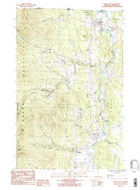
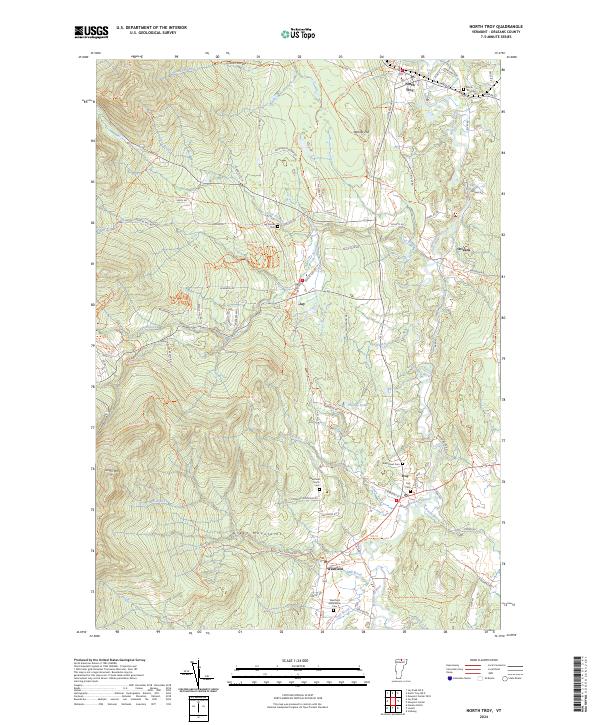
The Missisquoi River valley anchors this northern Vermont landscape, where the Missisquoi River Wild and Scenic River designation highlights the area's ecological significance. The terrain transitions from the heights of the Green Mountains, including Gilpin Mtn, down to the clustered settlements of North Troy, Troy, Jay, and Westfield. For genealogists, the map is particularly dense with burial sites such as North Troy Cem, Westfield Association Cem, and the Jay Center Cem, providing a clear spatial record of early family plots and community centers.
Find a feature on this map
69 named features on this map. Tap any name to fly to it.
Don’t see what you’re looking for? This feature index may not catch every label — zoom into the map to look around manually.
Map Details
Editions of this 2024 North Troy Map
This is the sole edition of this map. No revisions or reprints were ever made.