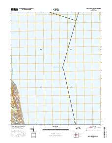
2016 Map of North Virginia Beach
USGS Topo · Published 2016About this map
The coastal interface of North Virginia Beach and the Atlantic Ocean is meticulously charted in this mid-2010s topographic survey. The residential and commercial density of Virginia Beach is concentrated along the western edge, where a grid of streets including Atlantic Ave and Ocean Front Ave lines the shore. To the south, the landscape transitions into the residential enclaves of North Linkhorn Park, centered around the waters of Crystal Lake and the inlet of Rainey Gut.
Find a feature on this map
26 named features on this map. Tap any name to fly to it.
Don’t see what you’re looking for? This feature index may not catch every label — zoom into the map to look around manually.
Map Details
Editions of this 2016 North Virginia Beach Map
This is the sole edition of this map. No revisions or reprints were ever made.
Other maps of this area

1893 · Virginia Beach
USGS Topo · 1:125,000

1907 · Norfolk
USGS Topo · 1:125,000

1918 · Cape Henry
USGS Topo · 1:62,500

1919 · Cape Henry
USGS Topo · 1:62,500

1943 · Richmond
USGS Topo · 1:250,000

1946 · Eastville
USGS Topo · 1:250,000

1946 · Currituck Sound
USGS Topo · 1:250,000
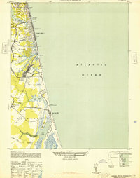
1948 · Virginia Beach
USGS Topo · 1:24,000
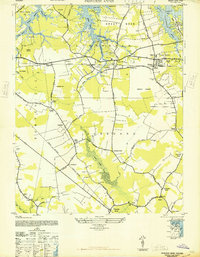
1948 · Princess Anne
USGS Topo · 1:24,000

1949 · Richmond
USGS Topo · 1:250,000