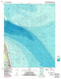
1964 Map of North Virginia Beach
USGS Topo · Published 1987About this map
Fort Story Military Reservation and the extensive grounds of Seashore State Park dominate this coastal landscape, illustrating the division between military, recreational, and residential land use during the mid-1960s. The map highlights the transition from the protected woodlands and marshes of the state park to the growing suburban blocks of North Virginia Beach and Cavalier Park. Shoreline infrastructure is evident along Atlantic Avenue, while the interior of the park is navigated via the Main Trail. Beyond the sandy reaches, detailed bathymetry reveals the complex underwater contours of the Atlantic Ocean shelf. Residential development is clustered in the southern portion of the sheet, where neighborhood streets like 80th St and 76th St terminate near the coast. A Girl Scout Camp and prominent Radio Towers serve as distinct local landmarks in this maritime environment.
Find a feature on this map
22 named features on this map. Tap any name to fly to it.
Don’t see what you’re looking for? This feature index may not catch every label — zoom into the map to look around manually.
Map Details
Editions of this 1964 North Virginia Beach Map
This is the sole edition of this map. No revisions or reprints were ever made.
Other maps of this area

1893 · Virginia Beach
USGS Topo · 1:125,000

1907 · Norfolk
USGS Topo · 1:125,000

1918 · Cape Henry
USGS Topo · 1:62,500

1919 · Cape Henry
USGS Topo · 1:62,500

1943 · Richmond
USGS Topo · 1:250,000

1946 · Eastville
USGS Topo · 1:250,000

1946 · Currituck Sound
USGS Topo · 1:250,000
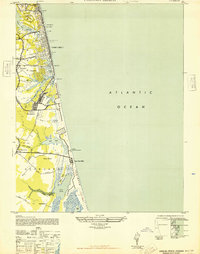
1948 · Virginia Beach
USGS Topo · 1:24,000
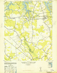
1948 · Princess Anne
USGS Topo · 1:24,000

1949 · Richmond
USGS Topo · 1:250,000