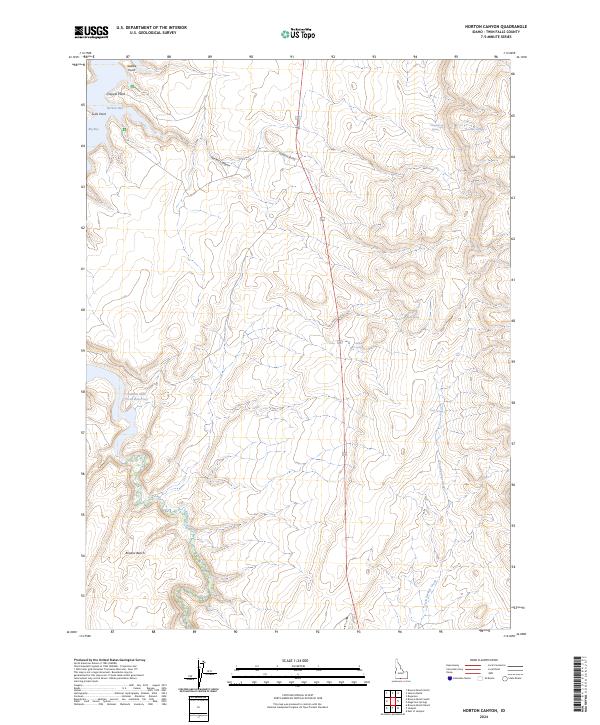
2024 Map of Norton Canyon
USGS Topo · Published 2024About this map
Salmon Falls Creek Reservoir dominates the western edge of this Twin Falls County landscape, where the water meets the distinct high-desert terrain of Browns Bench. The shoreline is marked by prominent landforms such as Saddle Point, Crappie Point, and Luds Point, which frame the inlets of Nortons Bay and Big Bay. This contemporary survey reflects a region defined by its vital water resources and the deep relief of Norton Canyon.
Find a feature on this map
19 named features on this map. Tap any name to fly to it.
Don’t see what you’re looking for? This feature index may not catch every label — zoom into the map to look around manually.
Map Details
Editions of this 2024 Norton Canyon Map
This is the sole edition of this map. No revisions or reprints were ever made.
Other maps of this area

1955 · Twin Falls
USGS Topo · 1:250,000

1955 · Wells
USGS Topo · 1:250,000

1957 · Contact
USGS Topo · 1:62,500

1957 · Delaplain
USGS Topo · 1:62,500

1958 · Wells
USGS Topo · 1:250,000

1958 · Twin Falls
USGS Topo · 1:250,000

1961 · Wells
USGS Topo · 1:250,000

1977 · Browns Bench South
USGS Topo · 1:24,000

1977 · Rogerson
USGS Topo · 1:24,000

1977 · Magic Hot Springs
USGS Topo · 1:24,000