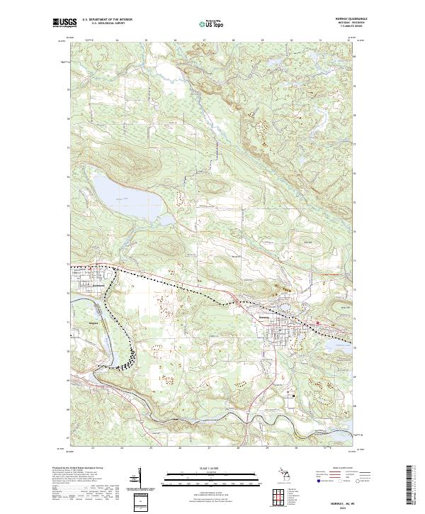
2023 Map of Norway
USGS Topo · Published 2023About this map
The Menominee River serves as the dividing line between Michigan and Wisconsin, carving a path through the heart of this landscape where the settlements of Norway, Quinnesec, and Niagara took root. The river's power is evident at Piers Gorge Falls, Little Quinnesec Falls, and Sand Portage Falls, natural barriers that influenced early development and industry in the region. To the north, the terrain rises toward Iron Hill and Brier Hill, overlooking a series of water bodies including the prominent Fumee Lake and the smaller Hanbury Lake. Local transportation networks, from the historic Iron Mountain To Norway State Trail to rural routes like Swede Settlement Rd, illustrate how the community connected its mining and timber interests to the river valley. Genealogists can locate established grounds at Norway Cem and Niagara Cem situated near the river banks.
Find a feature on this map
115 named features on this map. Tap any name to fly to it.
Don’t see what you’re looking for? This feature index may not catch every label — zoom into the map to look around manually.
Map Details
Editions of this 2023 Norway Map
This is the sole edition of this map. No revisions or reprints were ever made.
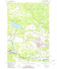
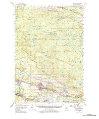
Historical Maps of Norway Through Time
3 maps found