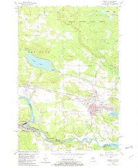
1955 Map of Norway
USGS Topo · Published 1982About this map
Iron mining history dominates this mid-century landscape of the Michigan-Wisconsin border, centered on the communities of Norway and Quinnesec. The survey documents a prolific era of extraction, labeling numerous sites including the Aragon Mine, Norway Mine, and Cyclops Mine along the Chicago and North Western rail corridor. These workings appear alongside civic landmarks like the Town Hall and the County Fairground, illustrating the industrial core of the Breitung and Norway areas.
Find a feature on this map
46 named features on this map. Tap any name to fly to it.
Don’t see what you’re looking for? This feature index may not catch every label — zoom into the map to look around manually.
Map Details
Editions of this 1955 Norway Map
3 editions found

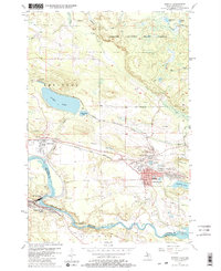
Other maps of this area

1939 · Pembine
USGS Topo · 1:48,000

1939 · Dunbar
USGS Topo · 1:48,000

1939 · Iron Mountain
USGS Topo · 1:48,000

1941 · Dunbar
USGS Topo · 1:48,000

1941 · Iron Mountain
USGS Topo · 1:48,000

1947 · Pembine
USGS Topo · 1:48,000

1947 · Dunbar
USGS Topo · 1:48,000

1947 · Iron Mountain
USGS Topo · 1:48,000

1954 · Iron Mountain
USGS Topo · 1:250,000

1954 · Escanaba
USGS Topo · 1:250,000