1941 Map of Dunbar
USGS Topo · Published 1941About this map
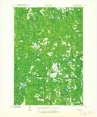
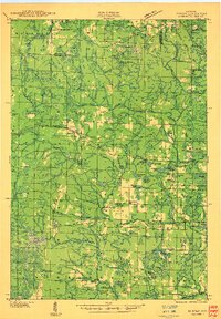
Dunbar and Merriman serve as the primary hubs in this northern Wisconsin landscape, where the Minneapolis St Paul and Sault Ste Marie and the Chicago Milwaukee St Paul and Pacific railroads intersect. This 1939 field examination reveals a rural economy organized around timber and transport, punctuated by a network of one-room schoolhouses such as McKinley Sch, Summit Sch, and Coons Sch. The high-ground Dunbar Fire Tower overlooks a dense system of waterways, including the South Branch Pemebonwon River and North Branch Pike River, which feed numerous named lakes like Lake Lundgren and Woempner Lake. The presence of features like Carney Rapids and Pickered Ponds highlights the intricate hydrology of the Florence and Marinette County border region.
Find a feature on this map
76 named features on this map. Tap any name to fly to it.
Don’t see what you’re looking for? This feature index may not catch every label — zoom into the map to look around manually.
Map Details
Editions of this 1941 Dunbar Map
This is the sole edition of this map. No revisions or reprints were ever made.
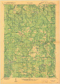
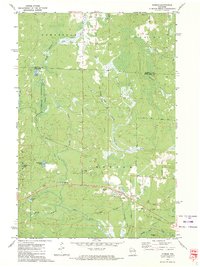
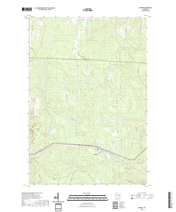
Historical Maps of Dunbar Through Time
5 maps found