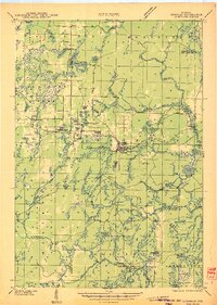
1939 Map of Goodman
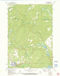
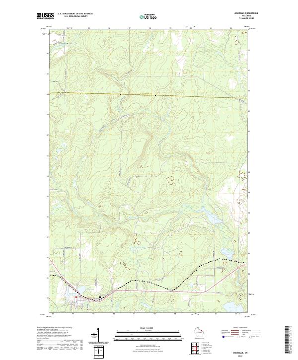
USGS Topo · Published 1956About this map
Goodman serves as the primary hub of activity in this 1939 survey of northeastern Wisconsin, where the logging and lumber industries defined the local landscape. The town is situated along the Minneapolis Sault Ste Marie and Atlantic railroad, which provided essential transport for the region's timber resources. To the west and south, the vast expanse of the Nicolet National Forest dominates the terrain, broken by a dense network of water bodies such as Armstrong Creek, Sidney Creek, and Oneonta Lake. Evidence of early community life is visible in the presence of the Engleking Sch and family-focused landmarks like Hillside Cem and Pine Hill Cem. Near the Peshtigo River at the southern edge, Roberts Goodman Park highlights the transition from industrial extraction to managed conservation and recreation, while the Goodman Fire Tower stands as a sentinel over the timberlands.
Find a feature on this map
57 named features on this map. Tap any name to fly to it.
Don’t see what you’re looking for? This feature index may not catch every label — zoom into the map to look around manually.
Map Details
Editions of this 1939 Goodman Map
This is the sole edition of this map. No revisions or reprints were ever made.
Historical Maps of Wabeno Through Time
8 maps found