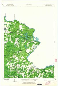
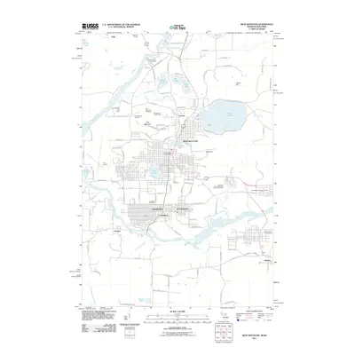
1939 Map of Iron Mountain
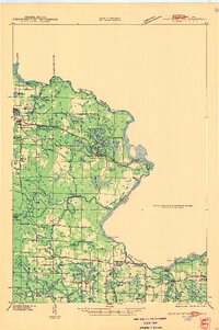
USGS Topo · Published 1963About this map
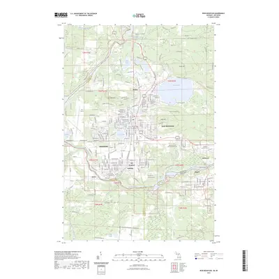
The Menominee River carves a winding boundary between Wisconsin and Michigan in this pre-war survey, defining a landscape shaped by hydroelectric power and timber-era infrastructure. Industrial development is anchored by the Henry Ford Dam and the Brule Island Power Plant Line, highlighting the region's reliance on the strong currents of the Brule River and Pine River. The presence of the Chicago and Northwestern Railroad connecting Commonwealth to the broader rail network illustrates the vital transport corridors of the late 1930s.
Find a feature on this map
56 named features on this map. Tap any name to fly to it.
Don’t see what you’re looking for? This feature index may not catch every label — zoom into the map to look around manually.
Map Details
Editions of this 1939 Iron Mountain Map
This is the sole edition of this map. No revisions or reprints were ever made.
Historical Maps of Iron Mountain Through Time
12 maps found
1939 Iron Mountain
Dickinson County, MI

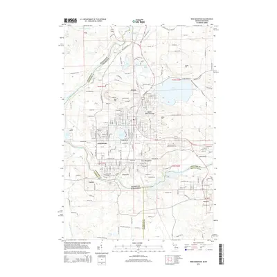
1941 Iron Mountain
Dickinson County, MI
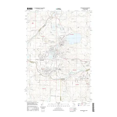
1947 Iron Mountain
Dickinson County, MI
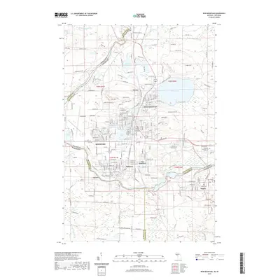
1954 Iron Mountain
Dickinson County, MI
1955 Iron Mountain
Dickinson County, MI

1959 Iron Mountain
Dickinson County, MI

1991 Iron Mountain
Dickinson County, MI
2011 Iron Mountain
Dickinson County, MI
2014 Iron Mountain
Dickinson County, MI
2017 Iron Mountain
Dickinson County, MI
2019 Iron Mountain
Dickinson County, MI
2023 Iron Mountain
Dickinson County, MI