Loading...
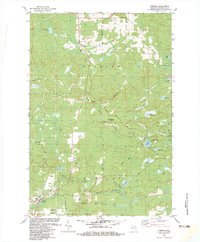
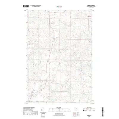
Loading map...1939 Map of Pembine
USGS Topo · Published 1941About this map
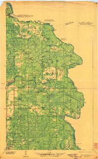
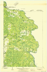
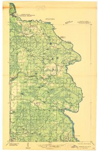
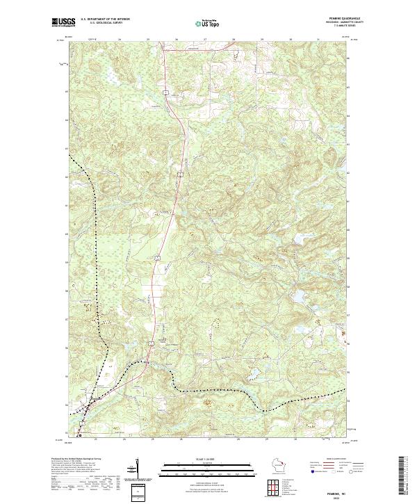
The Menominee River carves a winding boundary between Wisconsin and Michigan on this 1939 field examination, a landscape defined by a transition from industrial extraction to rural settlement. In the north, the town of Niagara sits near Little Quinnesec Falls, while the southern reaches near Amberg show a heavy concentration of stone works including Reformatory Quarry, Munot Quarry, and a Granite Quarry. These operations hint at the geological wealth that supported local development alongside the timber-rich river banks.
Find a feature on this map
77 named features on this map. Tap any name to fly to it.
Don’t see what you’re looking for? This feature index may not catch every label — zoom into the map to look around manually.
Map Details
Date Portrayed1939
Date Published1941
PublisherU.S. Geological Survey
Map TypeTopographic
Scale1:48,000
Physical Dimensions18.01 x 29.24 inches
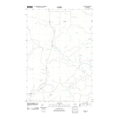
Editions of this 1939 Pembine Map
2 editions found
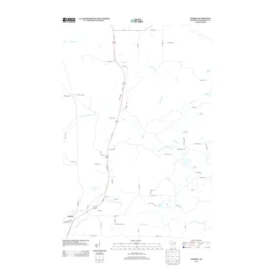
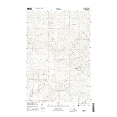
Historical Maps of Pembine Through Time
9 maps found
Featured Locations
Source Details
SourceU.S. Geological Survey
CopyrightPublic Domain