Loading...
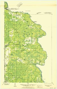
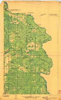
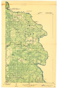
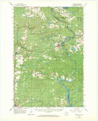
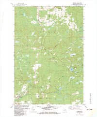
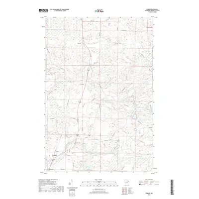
Loading map...1939 Map of Pembine
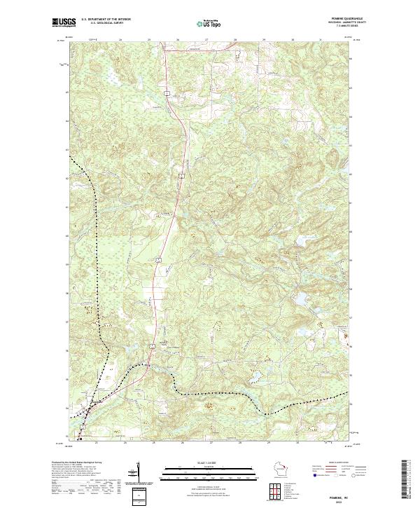
USGS Topo · Published 1952About this map
The Menominee River serves as the primary boundary between Wisconsin and Michigan in this 1939 field examination, a landscape defined by its river-driven industry and early northern settlement. In the town of Pembine, the presence of a Ranger Station and the Pembine Fire Tower highlights the importance of forest management during this era. The rail infrastructure of the Chicago Milwaukee St Paul and Pacific cuts through the region, connecting the rural communities to larger markets.
Find a feature on this map
66 named features on this map. Tap any name to fly to it.
Don’t see what you’re looking for? This feature index may not catch every label — zoom into the map to look around manually.
Map Details
Date Portrayed1939
Date Published1952
PublisherU.S. Geological Survey
Map TypeTopographic
Scale1:48,000
Physical Dimensions19.24 x 29.78 inches
Editions of this 1939 Pembine Map
2 editions found
Historical Maps of Pembine Through Time
9 maps found
Featured Locations
Source Details
SourceU.S. Geological Survey
CopyrightPublic Domain