Loading...
Loading map...1947 Map of Pembine
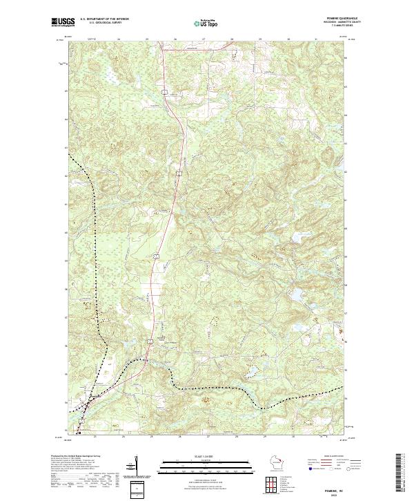
USGS Topo · Published 1947About this map
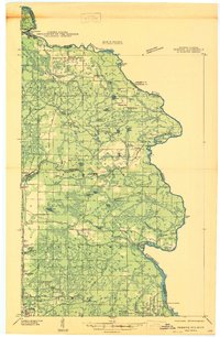
The Menominee River serves as a winding natural boundary for this 1940s landscape, where the industries of timber and stone intersect with a developing recreational frontier. Industrial sites like the Reformatory Quarry, Munot Quarry, and Granite Quarry near Amberg suggest the area's geological utility, while the Pembine Fire Tower and Ranger Station point to the critical management of the surrounding forests.
Find a feature on this map
68 named features on this map. Tap any name to fly to it.
Don’t see what you’re looking for? This feature index may not catch every label — zoom into the map to look around manually.
Map Details
Date Portrayed1947
Date Published1947
PublisherU.S. Geological Survey
Map TypeTopographic
Scale1:48,000
Physical Dimensions19.26 x 29.44 inches
Editions of this 1947 Pembine Map
This is the sole edition of this map. No revisions or reprints were ever made.
Historical Maps of Pembine Through Time
5 maps found
Featured Locations
Source Details
SourceU.S. Geological Survey
CopyrightPublic Domain