Loading...
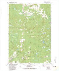
Loading map...1963 Map of Pembine
USGS Topo · Published 1970About this map
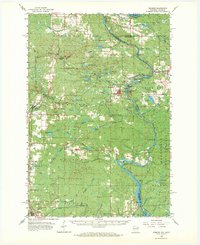
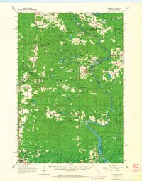
The Menominee State Forest and the winding course of the Menominee River dominate this 1963 survey of the Wisconsin-Michigan borderlands. Small rural settlements like Pembine, Faithorn, and Beecher are central to the region's mid-century landscape, connected by the Milwaukee St Paul and Pacific railroad and a network of graded roads. Local life is anchored by landmarks such as the Beecher Sch and Mission Chapel, while the area's timber and hydroelectric history is visible at the Pemebonwon Dam and Chalk Hill Dam.
Find a feature on this map
88 named features on this map. Tap any name to fly to it.
Don’t see what you’re looking for? This feature index may not catch every label — zoom into the map to look around manually.
Map Details
Date Portrayed1963
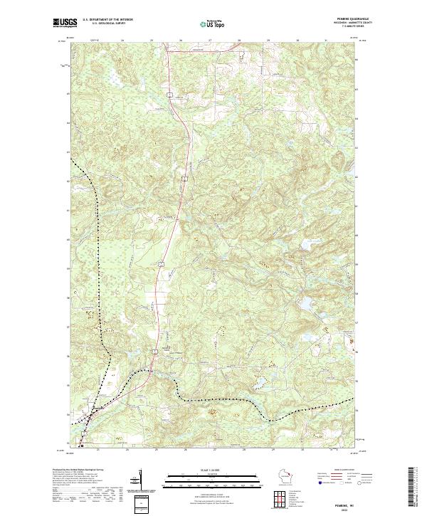
Date Published1970
PublisherU.S. Geological Survey
Map TypeTopographic
Scale1:62,500
Physical Dimensions17.35 x 21.21 inches
Editions of this 1963 Pembine Map
2 editions found
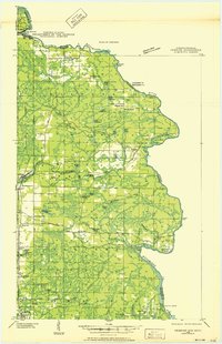
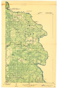
Historical Maps of Pembine Through Time
5 maps found
Featured Locations
Source Details
SourceU.S. Geological Survey
CopyrightPublic Domain