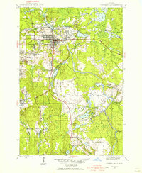
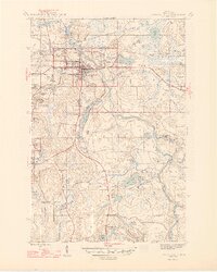
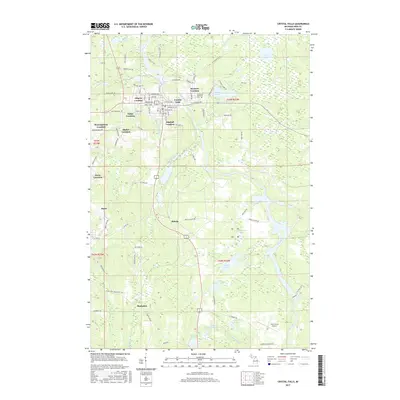
1944 Map of Crystal Falls
USGS Topo · Published 1956About this map
Crystal Falls and the surrounding Iron Range appear here as a landscape defined by mid-century extraction and industrial transport. The heavy footprint of mining operations is evident in clustered company housing at Tobin Location, Western Location, and Shafer Location, while the Tobin Mine and Shafer Mine sit at the center of this production zone. These settlements were built directly upon the mineral wealth of the Upper Peninsula, often named for the specific mine or family interests they served.
Find a feature on this map
42 named features on this map. Tap any name to fly to it.
Don’t see what you’re looking for? This feature index may not catch every label — zoom into the map to look around manually.
Map Details
Editions of this 1944 Crystal Falls Map
This is the sole edition of this map. No revisions or reprints were ever made.
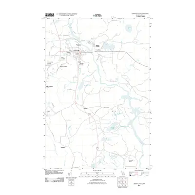
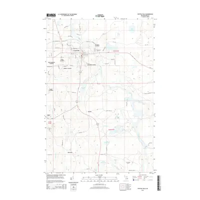
Historical Maps of Crystal Falls Through Time
8 maps found

Featured Locations
- Crystal Falls, MI
- Mastodon Township, MI
- Alpha, Mastodon Township
- Mastodon, Mastodon Township
- Panola, Mastodon Township