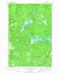
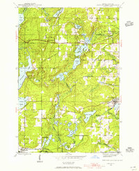
1945 Map of Kelso Junction
USGS Topo · Published 1968About this map
Paint River and the Michigamme Reservoir dominate this Iron County landscape, captured in a mid-1940s survey that documents the industrial and natural geography of the Crystal Falls area. The Milwaukee and Pacific railroad line is the primary transit corridor, connecting the small settlement of Kelso Junction and the loading point at Mitchell Spur. This network facilitated the movement of timber and mineral wealth from the surrounding forests and hills.
Find a feature on this map
25 named features on this map. Tap any name to fly to it.
Don’t see what you’re looking for? This feature index may not catch every label — zoom into the map to look around manually.
Map Details
Editions of this 1945 Kelso Junction Map
2 editions found

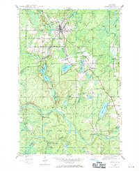
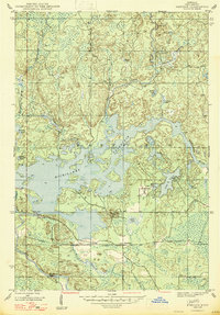
Other maps of this area
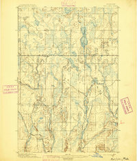
1895 · Ned Lake
USGS Topo · 1:62,500

1899 · Sagola
USGS Topo · 1:62,500
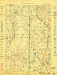
1899 · Witbeck
USGS Topo · 1:62,500

1899 · Crystal Falls
USGS Topo · 1:62,500
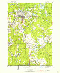
1944 · Crystal Falls
USGS Topo · 1:24,000
1944 · Fortune Lakes
USGS Topo · 1:24,000
1945 · Amasa
USGS Topo · 1:24,000
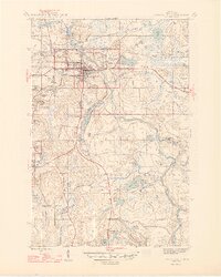
1946 · Crystal Falls
USGS Topo · 1:31,680

1946 · Fortune Lakes
USGS Topo · 1:31,680
1947 · Kiernan
USGS Topo · 1:24,000
Featured Places
- Hematite Township, MI
- Crystal Falls Township, MI
- Kelso Junction, Crystal Falls Township
- Iron County, MI
- United States