
1895 Map of Ned Lake
USGS Topo · Published 1895About this map
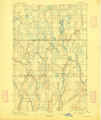
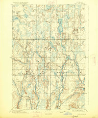
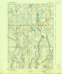
The wild wetland and river systems of the Upper Peninsula dominate this 1895 survey, which centers on the Baraga Co. Iron Co. Boundary Line. At this time, the landscape was primarily a network of waterways and early industrial infrastructure. The Net River and Hemlock River snake through a complex terrain of marshes and glacial lakes, including the prominent Ned Lake and Shank Lake. This era represents a period before heavy development, where the environment was defined by its natural drainage patterns and the arrival of heavy transit.
Find a feature on this map
10 named features on this map. Tap any name to fly to it.
Don’t see what you’re looking for? This feature index may not catch every label — zoom into the map to look around manually.
Map Details
Editions of this 1895 Ned Lake Map
4 editions found
Other maps of this area

1895 · Perch Lake
USGS Topo · 1:62,500

1898 · Iron River
USGS Topo · 1:62,500

1899 · Sagola
USGS Topo · 1:62,500

1899 · Witbeck
USGS Topo · 1:62,500

1899 · Crystal Falls
USGS Topo · 1:62,500

1945 · Sunset Lake
USGS Topo · 1:24,000

1945 · Kelso Junction
USGS Topo · 1:24,000

1945 · Amasa
USGS Topo · 1:24,000

1946 · Sunset Lake
USGS Topo · 1:31,680

1947 · Kiernan
USGS Topo · 1:24,000
Featured Places
- Hematite Township, MI
- Covington Township, MI
- Crystal Falls Township, MI
- Spurr Township, MI
- Iron County, MI