
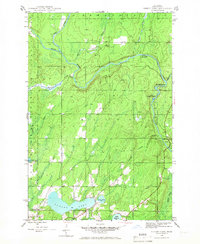
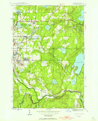
1945 Map of Sunset Lake
USGS Topo · Published 1959About this map
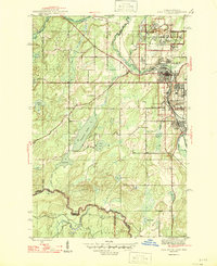
Sunset Lake and the surrounding timberlands of Bates Township define this Upper Peninsula landscape during the mid-1940s. The settlement of Sunset sits near the southern shore, serving as a focal point for the local community near the junction of Costigan Creek and Sunset Lake. The hydrology of Iron County is meticulously documented here, showing the confluence of the Net River and Paint River, which were vital corridors for the region's historical logging industry.
Find a feature on this map
24 named features on this map. Tap any name to fly to it.
Don’t see what you’re looking for? This feature index may not catch every label — zoom into the map to look around manually.
Map Details
Editions of this 1945 Sunset Lake Map
3 editions found

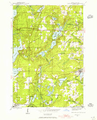
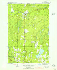
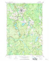
Other maps of this area
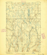
1895 · Ned Lake
USGS Topo · 1:62,500
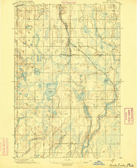
1895 · Perch Lake
USGS Topo · 1:62,500

1898 · Iron River
USGS Topo · 1:62,500

1899 · Crystal Falls
USGS Topo · 1:62,500
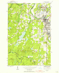
1944 · Iron River
USGS Topo · 1:24,000
1944 · Gaastra
USGS Topo · 1:24,000
1944 · Fortune Lakes
USGS Topo · 1:24,000
1945 · Gibbs City
USGS Topo · 1:24,000
1945 · Amasa
USGS Topo · 1:24,000
1946 · Iron River
USGS Topo · 1:31,680