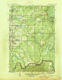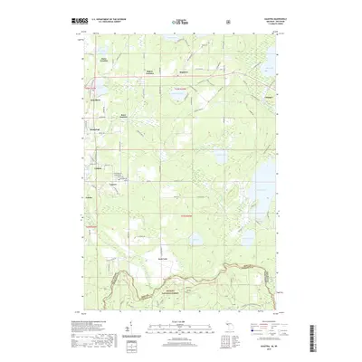
1944 Map of Gaastra
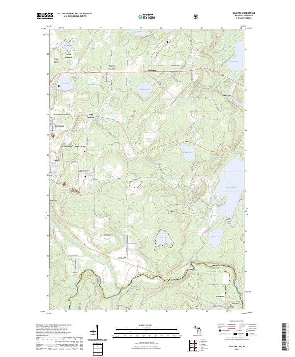
USGS Topo · Published 1956About this map
Mining operations and company housing define the 1944 landscape of the western Upper Peninsula. The concentration of activity around the Bates Mine, Rogers Mine, and Bengal Mine illustrates the intense iron ore extraction that drove local development. These industrial hubs are supported by residential clusters like Bates Location and Rogers Location, which provided housing for miners near the shafts. The infrastructure of the era is clearly marked by the Chicago and Northwestern and Milwaukee St Paul and Pacific railroads, which facilitated the transport of ore from the pits to the docks.
Find a feature on this map
34 named features on this map. Tap any name to fly to it.
Don’t see what you’re looking for? This feature index may not catch every label — zoom into the map to look around manually.
Map Details
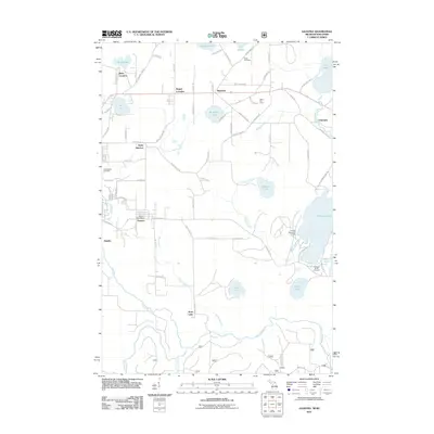
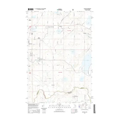
Editions of this 1944 Gaastra Map
2 editions found
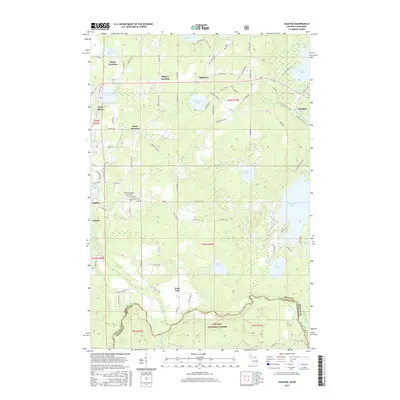
Historical Maps of Iron River Through Time
7 maps found