
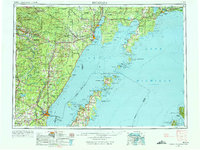
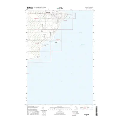
1954 Map of Escanaba
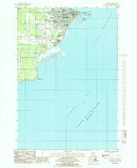
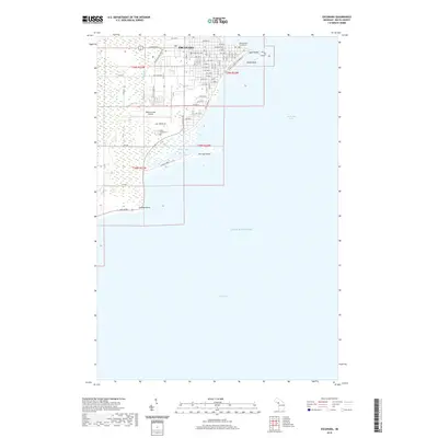
USGS Topo · Published 1967About this map
The northern waters of Green Bay and Lake Michigan define this mid-century landscape, where the Upper Peninsula meets the northern reaches of the Door Peninsula. This survey captures the vital shipping and timber corridors centered around Escanaba and Gladstone, with the Chicago and North Western RR and Minneapolis St Paul and Sault Ste Marie RR providing essential land connections. The map details a network of early fire lookouts, including the Stonington Fire Tower and Cooks Fire Tower, reflecting the era's focus on forest management across the Hiawatha National Forest. To the south, Washington Island and Rock Island sit at the mouth of the bay, marking the transition into the deeper waters of the Great Lakes. Further inland, industrial settlements like Iron Mountain and Kingsford highlight the regional importance of the Menominee River basin.
Find a feature on this map
181 named features on this map. Tap any name to fly to it.
Don’t see what you’re looking for? This feature index may not catch every label — zoom into the map to look around manually.
Map Details
Editions of this 1954 Escanaba Map
2 editions found
Historical Maps of Escanaba Through Time
11 maps found
1954 Escanaba
Delta County, MI

1957 Escanaba
Delta County, MI

1958 Escanaba
Delta County, MI

1958 Escanaba
Delta County, MI

1982 Escanaba
Delta County, MI
1985 Escanaba
Delta County, MI
2011 Escanaba
Delta County, MI
2014 Escanaba
Delta County, MI
2017 Escanaba
Delta County, MI
2019 Escanaba
Delta County, MI
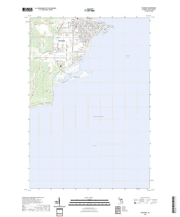
2023 Escanaba
Delta County, MI