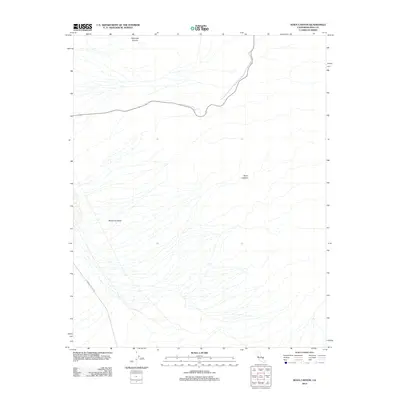
2012 Map of Nova Canyon
USGS Topo · Published 2012About this map
Panamint Valley dominates this 2012 topographic study of Inyo County, revealing a stark desert landscape defined by immense alluvial fans and deep drainage cuts. To the north, Dolomite Canyon carves into the mountain slopes, while the eponymous Nova Canyon provides a significant geographic marker in the central-east portion of the quadrangle. The few human imprints upon this arid terrain are concentrated along the transport corridors of State Route 190 and Panamint Valley Rd, which traverse the lower elevations. The map provides a precise look at the hydrology of the basin, showing the intricate network of dry washes that expand as they descend from the canyons toward the valley floor, a classic representation of Great Basin desert morphology.
Find a feature on this map
5 named features on this map. Tap any name to fly to it.
Don’t see what you’re looking for? This feature index may not catch every label — zoom into the map to look around manually.
Map Details
Editions of this 2012 Nova Canyon Map
This is the sole edition of this map. No revisions or reprints were ever made.
Other maps of this area

1908 · Ballarat
USGS Topo · 1:250,000

1913 · Ballarat
USGS Topo · 1:250,000

1948 · Death Valley
USGS Topo · 1:250,000

1951 · Panamint Butte
USGS Topo · 1:62,500

1951 · Maturango Peak
USGS Topo · 1:62,500

1952 · Telescope Peak
USGS Topo · 1:62,500

1952 · Emigrant Canyon
USGS Topo · 1:62,500

1954 · Death Valley
USGS Topo · 1:250,000

1956 · Death Valley
USGS Topo · 1:250,000

1957 · Death Valley
USGS Topo · 1:250,000