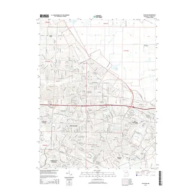
2002 Map of O'Fallon
USGS Topo · Published 2003About this map
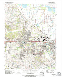
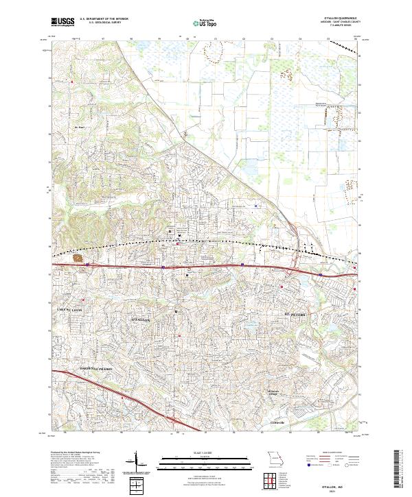
O'Fallon and St. Peters dominate the central landscape of St. Charles County during this early 21st-century period of expansion. The map details a dense network of suburban development intertwined with established institutions like St. Marys College and Saint Dominic High School. To the north, the terrain transitions into the lowlands near Grassy Lake and the winding course of Peruque Creek, where the Waldmeister Landing Strip sits among protected levees. This survey captures a moment of significant growth, showing the residential reach extending toward Dardenne Prairie and Cottleville. Local history is preserved through numerous ecclesiastical sites and burial grounds, including the Sage Chapel Cemetery and Mount Zion Cemetery, which stand as landmarks amidst the modern infrastructure of Mexico Road and Interstate 70.
Find a feature on this map
48 named features on this map. Tap any name to fly to it.
Don’t see what you’re looking for? This feature index may not catch every label — zoom into the map to look around manually.
Map Details
Editions of this 2002 O'Fallon Map
This is the sole edition of this map. No revisions or reprints were ever made.
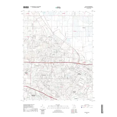
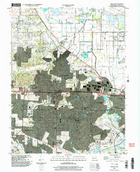
Historical Maps of O'Fallon Through Time
8 maps found