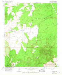
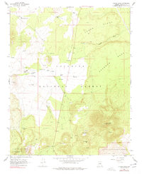
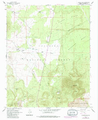
1966 Map of O'Leary Peak
USGS Topo · Published 1968About this map
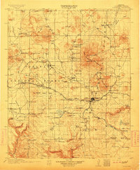
The Coconino National Forest defines this high-altitude volcanic landscape, dominated by the prominent O'Leary Peak Lookout Tower and the sprawling Bonito Lava Flow. Situated just north of Flagstaff in the mid-1960s, the area is a study in resource management and geological landmarks. The map documents the intricate network of water catchments essential for ranching and forest life, such as Hostetter Tank, Carr Tank, and Stagg Tank.
Find a feature on this map
36 named features on this map. Tap any name to fly to it.
Don’t see what you’re looking for? This feature index may not catch every label — zoom into the map to look around manually.
Map Details
Editions of this 1966 O'Leary Peak Map
3 editions found
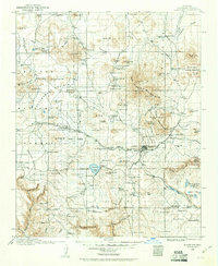
Other maps of this area

1886 · San Francisco Mtns
USGS Topo · 1:250,000

1891 · San Francisco Mtns
USGS Topo · 1:250,000

1894 · San Francisco Mtns
USGS Topo · 1:250,000

1899 · San Francisco Mtns
USGS Topo · 1:250,000
1908 · Flagstaff
USGS Topo · 1:125,000
1912 · Flagstaff
USGS Topo · 1:125,000

1947 · Flagstaff
USGS Topo · 1:250,000

1954 · Flagstaff
USGS Topo · 1:250,000

1958 · Flagstaff
USGS Topo · 1:250,000

1960 · Flagstaff
USGS Topo · 1:250,000