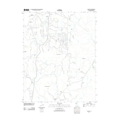
2012 Map of O'Neals
USGS Topo · Published 2012About this map
O'Neals serves as the primary hub in this Madera County landscape, where the foothills meet the Sierra Nevada. The terrain is defined by prominent elevations such as Blackhawk Mountain, Quartz Mountain, and Mercer Mountain, which guide the network of seasonal and year-round watercourses like Coarse Gold Cr and Fine Gold Cr. For genealogists and local historians, the map identifies significant landholdings and small communities, including Rosedale Ranch, Ladd Ranch, and Kelshaw Corners. Cultural and institutional markers are also present, ranging from the California Youth Authority Camp to localized burial sites like Picayune Cem and Fine Gold Cem. The dense naming of ranch properties and residential roads, such as Chukchansi Rd and Safari World Dr, reflects the modern transition of this former mining and ranching territory into a rural residential and recreational corridor.
Find a feature on this map
99 named features on this map. Tap any name to fly to it.
Don’t see what you’re looking for? This feature index may not catch every label — zoom into the map to look around manually.
Map Details
Editions of this 2012 O'Neals Map
This is the sole edition of this map. No revisions or reprints were ever made.
Other maps of this area

1912 · Mariposa
USGS Topo · 1:125,000

1916 · Sulphur Springs
USGS Topo · 1:24,000

1919 · Sulphur Springs
USGS Topo · 1:31,680

1919 · Little Table Mountain
USGS Topo · 1:31,680

1942 · Raymond
USGS Topo · 1:62,500

1942 · Little Table Mountain
USGS Topo · 1:24,000

1942 · Millerton Lake
USGS Topo · 1:62,500

1944 · Raymond
USGS Topo · 1:62,500

1945 · Millerton Lake
USGS Topo · 1:62,500

1947 · Mariposa
USGS Topo · 1:250,000