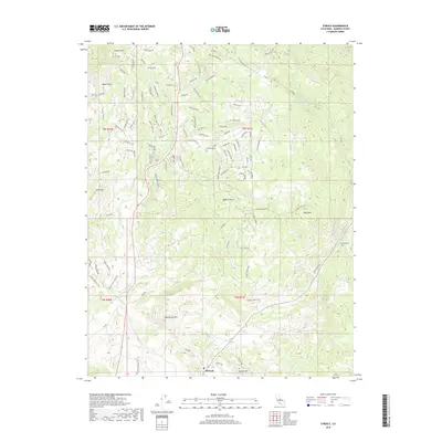
2018 Map of O'Neals
USGS Topo · Published 2018About this map
O'Neals serves as the primary settlement hub in this part of Madera County, situated among a complex network of foothills and seasonal watercourses. The landscape is defined by its numerous named peaks, including Trabuco Mtn to the north and Mercer Mtn near the southern boundary. Significant local history is preserved at the Picayune Cem and Fine Gold Cem, which sit near the winding paths of Coarse Gold Cr and Fine Gold Cr. The distribution of residential roads like Chukchansi Rd, Miwoc Ave, and Ottawa Ave suggests a modern community integrated into the varied elevations. Between the peaks of Quartz Mtn and Blackhawk Mtn, the drainage patterns of Willow Cr and various gulches illustrate the rugged hydrologic character of the Sierra Nevada foothills.
Find a feature on this map
81 named features on this map. Tap any name to fly to it.
Don’t see what you’re looking for? This feature index may not catch every label — zoom into the map to look around manually.
Map Details
Editions of this 2018 O'Neals Map
This is the sole edition of this map. No revisions or reprints were ever made.
Other maps of this area
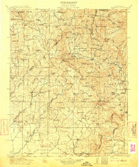
1912 · Mariposa
USGS Topo · 1:125,000
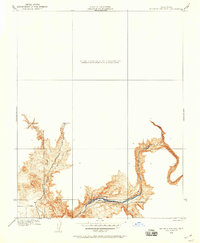
1916 · Sulphur Springs
USGS Topo · 1:24,000
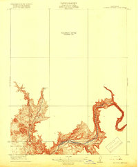
1919 · Sulphur Springs
USGS Topo · 1:31,680
1919 · Little Table Mountain
USGS Topo · 1:31,680
1942 · Raymond
USGS Topo · 1:62,500
1942 · Little Table Mountain
USGS Topo · 1:24,000
1942 · Millerton Lake
USGS Topo · 1:62,500
1944 · Raymond
USGS Topo · 1:62,500
1945 · Millerton Lake
USGS Topo · 1:62,500

1947 · Mariposa
USGS Topo · 1:250,000