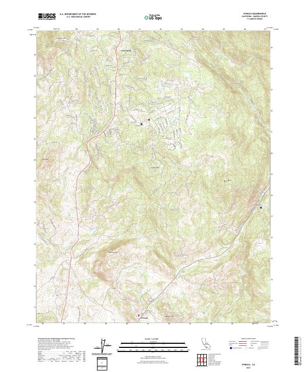
2021 Map of O'Neals
USGS Topo · Published 2021About this map
Coarsegold and O'Neals anchor this modern topographical study of Madera County, where the foothills of the Sierra Nevada meet established ranching and residential land. The drainage patterns of Coarse Gold Cr and Fine Gold Cr dominate the landscape, carved between prominent peaks such as Blackhawk Mtn and Quartz Mtn. This area is marked by its intersection of traditional rural landmarks and contemporary development, illustrated by the presence of the Picayune Cem and Fine Gold Cem alongside modern road networks like Chukchansi Rd and Safari World Dr. The transition from seasonal creek beds like Water Gulch to the more permanent flow of Willow Cr provides insight into the local hydrology and land use patterns that have shaped these foothill communities over the last century.
Find a feature on this map
98 named features on this map. Tap any name to fly to it.
Don’t see what you’re looking for? This feature index may not catch every label — zoom into the map to look around manually.
Map Details
Editions of this 2021 O'Neals Map
This is the sole edition of this map. No revisions or reprints were ever made.
Other maps of this area

1912 · Mariposa
USGS Topo · 1:125,000

1916 · Sulphur Springs
USGS Topo · 1:24,000

1919 · Sulphur Springs
USGS Topo · 1:31,680

1919 · Little Table Mountain
USGS Topo · 1:31,680

1942 · Raymond
USGS Topo · 1:62,500

1942 · Little Table Mountain
USGS Topo · 1:24,000

1942 · Millerton Lake
USGS Topo · 1:62,500

1944 · Raymond
USGS Topo · 1:62,500

1945 · Millerton Lake
USGS Topo · 1:62,500

1947 · Mariposa
USGS Topo · 1:250,000